428 Saint Ives Dr Madison, MS 39110
Estimated Value: $579,000 - $653,000
--
Bed
--
Bath
3,984
Sq Ft
$154/Sq Ft
Est. Value
About This Home
This home is located at 428 Saint Ives Dr, Madison, MS 39110 and is currently estimated at $613,769, approximately $154 per square foot. 428 Saint Ives Dr is a home located in Madison County with nearby schools including Madison Avenue Upper Elementary School, Madison Avenue Elementary, and Madison Middle School.
Ownership History
Date
Name
Owned For
Owner Type
Purchase Details
Closed on
May 13, 2011
Sold by
Ewing Parrow Construction Inc
Bought by
Katzenmeyer Aaron Seth and Katzenmeyer Roxanne
Current Estimated Value
Home Financials for this Owner
Home Financials are based on the most recent Mortgage that was taken out on this home.
Original Mortgage
$359,100
Outstanding Balance
$248,094
Interest Rate
4.83%
Mortgage Type
New Conventional
Estimated Equity
$365,675
Create a Home Valuation Report for This Property
The Home Valuation Report is an in-depth analysis detailing your home's value as well as a comparison with similar homes in the area
Home Values in the Area
Average Home Value in this Area
Purchase History
| Date | Buyer | Sale Price | Title Company |
|---|---|---|---|
| Katzenmeyer Aaron Seth | -- | None Available |
Source: Public Records
Mortgage History
| Date | Status | Borrower | Loan Amount |
|---|---|---|---|
| Open | Katzenmeyer Aaron Seth | $359,100 |
Source: Public Records
Tax History Compared to Growth
Tax History
| Year | Tax Paid | Tax Assessment Tax Assessment Total Assessment is a certain percentage of the fair market value that is determined by local assessors to be the total taxable value of land and additions on the property. | Land | Improvement |
|---|---|---|---|---|
| 2025 | $4,723 | $43,108 | $0 | $0 |
| 2024 | $4,723 | $43,108 | $0 | $0 |
| 2023 | $4,723 | $43,108 | $0 | $0 |
| 2022 | $4,723 | $43,108 | $0 | $0 |
| 2021 | $4,520 | $41,365 | $0 | $0 |
| 2020 | $4,520 | $41,365 | $0 | $0 |
| 2019 | $4,520 | $41,365 | $0 | $0 |
| 2018 | $4,520 | $41,365 | $0 | $0 |
| 2017 | $4,439 | $40,668 | $0 | $0 |
| 2016 | $4,439 | $40,668 | $0 | $0 |
| 2015 | $4,439 | $40,668 | $0 | $0 |
| 2014 | $4,326 | $39,696 | $0 | $0 |
Source: Public Records
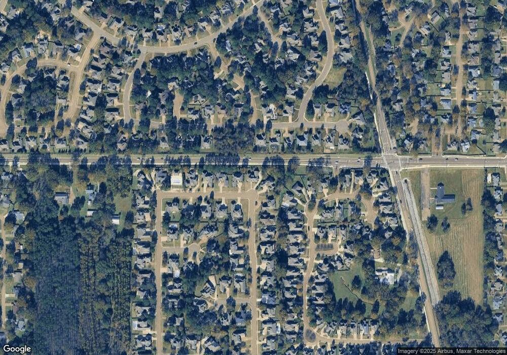
Map
Nearby Homes
- 169 Saint Ives Dr
- 165 Saint Ives Dr
- 865 Wellington Way
- 1133 Windrose Cir
- 1005 Laramie Ct
- 113 N Ridge Dr
- 722 Arlington Ct
- 105 Victoria Place
- 129 Victoria Place
- 418 Wildwood Pointe
- 662 Baywood
- Lot 4 Chantilly Dr
- 265 Woodland Brook Dr
- 204 Street Charlotte Cove
- 234 Brisage Blvd
- 207 Geneva Blvd
- 557 Spring Hill Dr
- 202 Saint Pierre Cove
- 181 Chantilly Dr
- 262 Geneva Blvd
- 424 St Ives Dr
- 432 Saint Ives Dr
- 424 Saint Ives Dr
- 432 St Ives Dr
- 420 Saint Ives Dr
- 420 St Ives
- 436 St Ives Dr
- 1261 Woodberry Dr
- 415 Saint Ives Dr
- 1265 Woodberry Dr
- 415 St Ives Dr
- 213 Hoy Farms Dr
- 217 Hoy Farms Dr
- 416 Saint Ives Dr
- 416 St Ives Dr
- 440 Saint Ives Dr Unit LOT 128
- 440 Saint Ives Dr
- 1269 Woodberry Dr
- 440 St Ives Dr Unit LOT 128
- 440 St Ives Dr