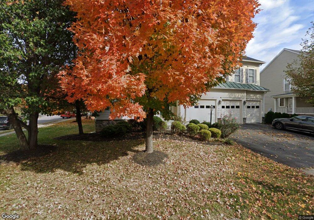
42840 Sandhurst Ct Ashburn, VA 20148
Estimated Value: $1,229,088 - $1,416,000
5
Beds
5
Baths
4,296
Sq Ft
$311/Sq Ft
Est. Value
About This Home
This home is located at 42840 Sandhurst Ct, Ashburn, VA 20148 and is currently estimated at $1,335,272, approximately $310 per square foot. 42840 Sandhurst Ct is a home located in Loudoun County with nearby schools including Mill Run Elementary School, Eagle Ridge Middle School, and Briar Woods High School.
Ownership History
Date
Name
Owned For
Owner Type
Purchase Details
Closed on
Feb 17, 2004
Sold by
Van Metre Homes
Bought by
Beg Mirza
Current Estimated Value
Home Financials for this Owner
Home Financials are based on the most recent Mortgage that was taken out on this home.
Original Mortgage
$466,500
Outstanding Balance
$218,787
Interest Rate
5.83%
Mortgage Type
Construction
Estimated Equity
$1,116,485
Create a Home Valuation Report for This Property
The Home Valuation Report is an in-depth analysis detailing your home's value as well as a comparison with similar homes in the area
Home Values in the Area
Average Home Value in this Area
Purchase History
| Date | Buyer | Sale Price | Title Company |
|---|---|---|---|
| Beg Mirza | $583,000 | -- |
Source: Public Records
Mortgage History
| Date | Status | Borrower | Loan Amount |
|---|---|---|---|
| Open | Beg Mirza | $466,500 |
Source: Public Records
Tax History Compared to Growth
Tax History
| Year | Tax Paid | Tax Assessment Tax Assessment Total Assessment is a certain percentage of the fair market value that is determined by local assessors to be the total taxable value of land and additions on the property. | Land | Improvement |
|---|---|---|---|---|
| 2025 | $9,805 | $1,218,060 | $325,300 | $892,760 |
| 2024 | $9,926 | $1,147,500 | $310,300 | $837,200 |
| 2023 | $9,662 | $1,104,250 | $310,300 | $793,950 |
| 2022 | $8,738 | $981,750 | $290,300 | $691,450 |
| 2021 | $8,110 | $827,530 | $245,300 | $582,230 |
| 2020 | $8,058 | $778,580 | $225,300 | $553,280 |
| 2019 | $7,763 | $742,870 | $225,300 | $517,570 |
| 2018 | $7,978 | $735,320 | $200,300 | $535,020 |
| 2017 | $7,823 | $695,400 | $200,300 | $495,100 |
| 2016 | $7,862 | $686,600 | $0 | $0 |
| 2015 | $7,816 | $488,360 | $0 | $488,360 |
| 2014 | $7,595 | $477,270 | $0 | $477,270 |
Source: Public Records
Map
Nearby Homes
- 21816 Ainsley Ct
- 42623 Trappe Rock Ct
- 40396 Milford Dr
- 21563 Awbrey Place
- 21507 Tithables Cir
- 43382 Farringdon Square
- 43376 Farringdon Square
- 21518 Wild Timber Ct
- 43234 Farringdon Square
- 21843 Beckhorn Station Terrace
- 21752 Dollis Hill Terrace
- 21748 Dollis Hill Terrace
- 43497 Farringdon Square
- 21823 Beckhorn Station Terrace
- Cameron 24-R1-RT Plan at Demott and Silver at Broadlands - Demott and Silver
- Collier 24-R1 Plan at Demott and Silver at Broadlands - Demott and Silver
- Collier 24-R1-RT Plan at Demott and Silver at Broadlands - Demott and Silver
- Cameron 24-R1 Plan at Demott and Silver at Broadlands - Demott and Silver
- 22273 Rampsbeck Terrace
- 43294 Farringdon Square
- 42844 Sandhurst Ct
- 21842 Engleside Place
- 42841 Sandhurst Ct
- 21847 Engleside Place
- 21838 Engleside Place
- 42848 Sandhurst Ct
- 21851 Engleside Place
- 21843 Engleside Place
- 42845 Sandhurst Ct
- 21855 Engleside Place
- 21834 Engleside Place
- 21835 Engleside Place
- 21862 Engleside Place
- 42856 Sandhurst Ct
- 42849 Sandhurst Ct
- 21822 Engleside Place
- 21859 Engleside Place
- 21823 Engleside Place
- 21826 Engleside Place
- 42853 Sandhurst Ct