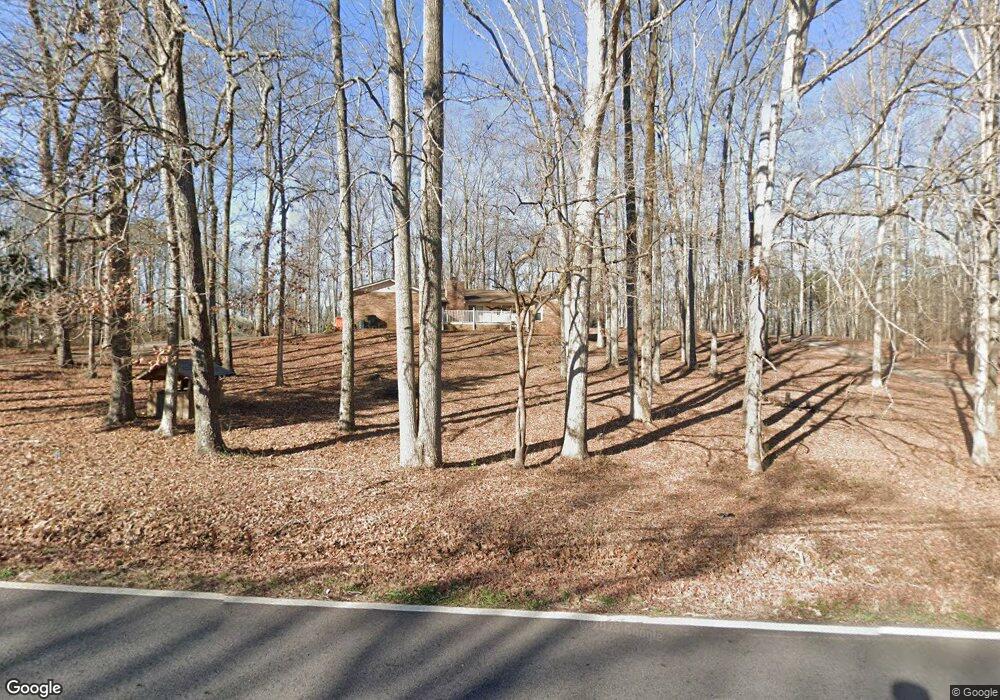
429 Austin Rd Stockbridge, GA 30281
Estimated Value: $265,000 - $319,000
3
Beds
2
Baths
2,021
Sq Ft
$143/Sq Ft
Est. Value
About This Home
This home is located at 429 Austin Rd, Stockbridge, GA 30281 and is currently estimated at $288,602, approximately $142 per square foot. 429 Austin Rd is a home located in Henry County with nearby schools including Austin Road Elementary School, Austin Road Middle School, and Woodland High School.
Ownership History
Date
Name
Owned For
Owner Type
Purchase Details
Closed on
Jul 3, 2007
Sold by
Roper Josefina
Bought by
Josefina Roper Trust
Current Estimated Value
Purchase Details
Closed on
Jul 30, 2003
Sold by
Brayton Dorothy H
Bought by
Giles Percy D and Giles Patricia
Home Financials for this Owner
Home Financials are based on the most recent Mortgage that was taken out on this home.
Original Mortgage
$88,000
Interest Rate
5.94%
Mortgage Type
New Conventional
Purchase Details
Closed on
Jul 16, 2001
Sold by
Brayton Dorothy H
Bought by
Brayton David P
Create a Home Valuation Report for This Property
The Home Valuation Report is an in-depth analysis detailing your home's value as well as a comparison with similar homes in the area
Home Values in the Area
Average Home Value in this Area
Purchase History
| Date | Buyer | Sale Price | Title Company |
|---|---|---|---|
| Josefina Roper Trust | -- | -- | |
| Giles Percy D | $110,000 | -- | |
| Brayton David P | -- | -- |
Source: Public Records
Mortgage History
| Date | Status | Borrower | Loan Amount |
|---|---|---|---|
| Previous Owner | Giles Percy D | $88,000 |
Source: Public Records
Tax History Compared to Growth
Tax History
| Year | Tax Paid | Tax Assessment Tax Assessment Total Assessment is a certain percentage of the fair market value that is determined by local assessors to be the total taxable value of land and additions on the property. | Land | Improvement |
|---|---|---|---|---|
| 2025 | $795 | $138,080 | $15,600 | $122,480 |
| 2024 | $795 | $126,160 | $13,960 | $112,200 |
| 2023 | $594 | $110,040 | $13,440 | $96,600 |
| 2022 | $731 | $97,160 | $12,400 | $84,760 |
| 2021 | $718 | $79,000 | $10,680 | $68,320 |
| 2020 | $712 | $70,080 | $10,040 | $60,040 |
| 2019 | $710 | $66,160 | $9,520 | $56,640 |
| 2018 | $0 | $59,960 | $8,800 | $51,160 |
| 2016 | $604 | $53,280 | $6,840 | $46,440 |
| 2015 | -- | $30,000 | $7,120 | $22,880 |
| 2014 | -- | $30,000 | $7,120 | $22,880 |
Source: Public Records
Map
Nearby Homes
- 80 Sandy Dr
- 25 Mendy Ln
- 106 Garden Trail
- 6733 Highway 155 N
- 176 Fairoaks Cir
- 130 Fairview Dr
- 203 Farmbrook Pkwy
- 0 Flat Shoals Church Rd Unit 10642485
- 0 Flat Shoals Church Rd Unit 10642435
- 0 Flat Shoals Church Rd Unit 10642461
- 1110 Estates Ct
- 116 Kalsum Trail
- 222 Farmbrook Pkwy
- 4241 Hearn Rd
- 460 Ward Rd
- 510 Ward Rd Unit 1
- 120 Bunnie Trail
- 226 Farmbrook Pkwy
- 204 Benefield Ct