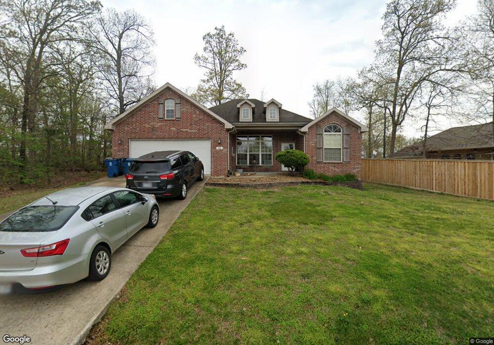
43 Merritt Dr Bella Vista, AR 72714
Estimated Value: $404,313 - $496,000
--
Bed
2
Baths
2,168
Sq Ft
$204/Sq Ft
Est. Value
About This Home
This home is located at 43 Merritt Dr, Bella Vista, AR 72714 and is currently estimated at $443,078, approximately $204 per square foot. 43 Merritt Dr is a home located in Benton County with nearby schools including Cooper Elementary School, Ruth Barker Middle School, and Washington Junior High School.
Ownership History
Date
Name
Owned For
Owner Type
Purchase Details
Closed on
Jun 10, 2005
Sold by
Providence Homes Inc
Bought by
Savold James and Savold Carol
Current Estimated Value
Home Financials for this Owner
Home Financials are based on the most recent Mortgage that was taken out on this home.
Original Mortgage
$75,000
Outstanding Balance
$56,472
Interest Rate
5.76%
Mortgage Type
Credit Line Revolving
Estimated Equity
$386,606
Purchase Details
Closed on
Jan 26, 2004
Bought by
Providence
Purchase Details
Closed on
Aug 26, 1985
Bought by
Mcginnis
Create a Home Valuation Report for This Property
The Home Valuation Report is an in-depth analysis detailing your home's value as well as a comparison with similar homes in the area
Home Values in the Area
Average Home Value in this Area
Purchase History
| Date | Buyer | Sale Price | Title Company |
|---|---|---|---|
| Savold James | $185,000 | Bronson Title Services Inc | |
| Providence | $12,000 | -- | |
| Mcginnis | $7,000 | -- |
Source: Public Records
Mortgage History
| Date | Status | Borrower | Loan Amount |
|---|---|---|---|
| Open | Savold James | $75,000 |
Source: Public Records
Tax History Compared to Growth
Tax History
| Year | Tax Paid | Tax Assessment Tax Assessment Total Assessment is a certain percentage of the fair market value that is determined by local assessors to be the total taxable value of land and additions on the property. | Land | Improvement |
|---|---|---|---|---|
| 2025 | $2,759 | $76,536 | $1,600 | $74,936 |
| 2024 | $2,731 | $76,536 | $1,600 | $74,936 |
| 2023 | $2,731 | $51,560 | $800 | $50,760 |
| 2022 | $2,321 | $51,560 | $800 | $50,760 |
| 2021 | $2,193 | $51,560 | $800 | $50,760 |
| 2020 | $2,092 | $38,730 | $600 | $38,130 |
| 2019 | $2,092 | $38,730 | $600 | $38,130 |
| 2018 | $2,117 | $38,730 | $600 | $38,130 |
| 2017 | $1,984 | $38,730 | $600 | $38,130 |
| 2016 | $1,984 | $38,730 | $600 | $38,130 |
| 2015 | $2,187 | $36,270 | $1,000 | $35,270 |
| 2014 | $1,837 | $36,270 | $1,000 | $35,270 |
Source: Public Records
Map
Nearby Homes
- 40 Merritt Dr
- 75 Melanie Dr
- 63 Merritt Dr
- 41 Melanie Dr
- 20 Melanie Cir
- 0 Rettendon Ln
- 10 Dillow Ln
- 14 Constance Cir
- 127 Rillington Dr
- 3 Brougham Ln
- 0 Nettle Ln
- Lot 10 of Block 6 Rillington Dr
- 0 Rillington Dr Unit 1316259
- 0 Allendale Dr
- 16 Witherby Dr
- 29 Lunsford Ln
- 5 Ettington Ln
- 36 Headley Dr
- 9 Lunsford Ln
- 44 Cresswell Dr