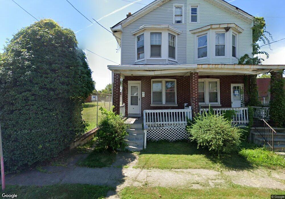
43 Norman Ave Trenton, NJ 08618
Prospect NeighborhoodEstimated Value: $118,000 - $230,000
--
Bed
--
Bath
1,642
Sq Ft
$111/Sq Ft
Est. Value
About This Home
This home is located at 43 Norman Ave, Trenton, NJ 08618 and is currently estimated at $182,489, approximately $111 per square foot. 43 Norman Ave is a home located in Mercer County with nearby schools including Gregory Elementary School, Jefferson Elementary School, and Joyce Kilmer Middle School.
Ownership History
Date
Name
Owned For
Owner Type
Purchase Details
Closed on
Sep 3, 2020
Sold by
Best Capital Jersey Llc
Bought by
Wieder Baruch
Current Estimated Value
Purchase Details
Closed on
Nov 14, 2019
Sold by
Brown Latashia
Bought by
Best Capital Jersey Llc
Purchase Details
Closed on
May 14, 2019
Sold by
Sancinito Louis S and Estate Of Burnie Ray Roberts
Bought by
Brown Latashia
Purchase Details
Closed on
Mar 24, 1993
Bought by
Roberts Burnie Ray
Create a Home Valuation Report for This Property
The Home Valuation Report is an in-depth analysis detailing your home's value as well as a comparison with similar homes in the area
Home Values in the Area
Average Home Value in this Area
Purchase History
| Date | Buyer | Sale Price | Title Company |
|---|---|---|---|
| Wieder Baruch | $85,000 | Universal Title Llc | |
| Best Capital Jersey Llc | $43,500 | Sterling Title Agency | |
| Brown Latashia | -- | None Available | |
| Roberts Burnie Ray | $32,000 | -- |
Source: Public Records
Tax History Compared to Growth
Tax History
| Year | Tax Paid | Tax Assessment Tax Assessment Total Assessment is a certain percentage of the fair market value that is determined by local assessors to be the total taxable value of land and additions on the property. | Land | Improvement |
|---|---|---|---|---|
| 2025 | $3,921 | $67,600 | $13,100 | $54,500 |
| 2024 | $3,763 | $67,600 | $13,100 | $54,500 |
| 2023 | $3,763 | $67,600 | $13,100 | $54,500 |
| 2022 | $3,690 | $67,600 | $13,100 | $54,500 |
| 2021 | $2,305 | $67,600 | $13,100 | $54,500 |
| 2020 | $2,297 | $41,500 | $13,100 | $28,400 |
| 2019 | $2,260 | $41,500 | $13,100 | $28,400 |
| 2018 | $2,586 | $49,600 | $13,100 | $36,500 |
| 2017 | $2,458 | $49,600 | $13,100 | $36,500 |
| 2016 | $2,917 | $50,700 | $16,500 | $34,200 |
| 2015 | $2,907 | $50,700 | $16,500 | $34,200 |
| 2014 | $2,893 | $50,700 | $16,500 | $34,200 |
Source: Public Records
Map
Nearby Homes
- 531 533 Pennington Ave
- 540 Pennington Ave
- 27 -29-31 Kelsey
- 34 Arlington Ave
- 803 Pennington Ave
- 58 Hayes Ave
- 110 Parkway Ave
- 54 Kelsey Ave
- 50 Kelsey Ave
- 128 Exton Ave
- 62 Hayes Ave
- 60 Hayes Ave
- 86 Pennington Ave
- 21 Clover Ave
- 116 Oliver Ave
- 410 Stuyvesant Ave
- 619 Stuyvesant Ave
- 451 Stuyvesant Ave
- 16 Clover Ave
- 19 Exton Ave