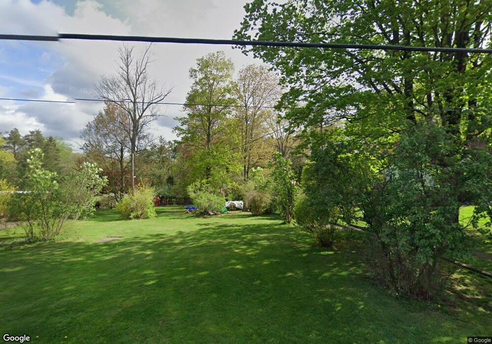
43 Peifer Rd Lake Ariel, PA 18436
Estimated Value: $815,000 - $991,000
3
Beds
4
Baths
3,881
Sq Ft
$230/Sq Ft
Est. Value
About This Home
This home is located at 43 Peifer Rd, Lake Ariel, PA 18436 and is currently estimated at $892,536, approximately $229 per square foot. 43 Peifer Rd is a home with nearby schools including Wallenpaupack Area High School.
Ownership History
Date
Name
Owned For
Owner Type
Purchase Details
Closed on
Jan 4, 2010
Sold by
Swan Phyllis A and Horvat Peter
Bought by
Swan Phyllis A
Current Estimated Value
Purchase Details
Closed on
Oct 1, 2007
Sold by
Farthing Gregory E and Farthing Barbara
Bought by
Swan Phyllis A and Horvat Peter
Home Financials for this Owner
Home Financials are based on the most recent Mortgage that was taken out on this home.
Original Mortgage
$416,000
Outstanding Balance
$263,502
Interest Rate
6.49%
Mortgage Type
New Conventional
Estimated Equity
$629,034
Create a Home Valuation Report for This Property
The Home Valuation Report is an in-depth analysis detailing your home's value as well as a comparison with similar homes in the area
Home Values in the Area
Average Home Value in this Area
Purchase History
| Date | Buyer | Sale Price | Title Company |
|---|---|---|---|
| Swan Phyllis A | -- | None Available | |
| Swan Phyllis A | $520,000 | None Available |
Source: Public Records
Mortgage History
| Date | Status | Borrower | Loan Amount |
|---|---|---|---|
| Open | Swan Phyllis A | $416,000 |
Source: Public Records
Tax History Compared to Growth
Tax History
| Year | Tax Paid | Tax Assessment Tax Assessment Total Assessment is a certain percentage of the fair market value that is determined by local assessors to be the total taxable value of land and additions on the property. | Land | Improvement |
|---|---|---|---|---|
| 2025 | $9,980 | $685,200 | $148,000 | $537,200 |
| 2024 | $9,527 | $685,200 | $148,000 | $537,200 |
| 2023 | $13,351 | $685,200 | $148,000 | $537,200 |
| 2022 | $6,918 | $319,100 | $87,700 | $231,400 |
| 2021 | $6,795 | $319,100 | $87,700 | $231,400 |
| 2020 | $6,776 | $319,100 | $87,700 | $231,400 |
| 2019 | $6,356 | $319,100 | $87,700 | $231,400 |
| 2018 | $6,231 | $319,100 | $87,700 | $231,400 |
| 2017 | $1,459 | $319,100 | $87,700 | $231,400 |
| 2016 | $5,891 | $319,100 | $87,700 | $231,400 |
| 2014 | -- | $311,200 | $79,800 | $231,400 |
Source: Public Records
Map
Nearby Homes
- 116 Peifer Rd
- 21 S Briar Hill
- 458 Lakeside Dr
- 5 Pumphouse Rd
- 11 Pumphouse Rd
- 1642 Hamlin Hwy
- 3 Circle Dr E
- 11 Briar Hill Rd S
- 67 Tiffany Rd
- Lot 258 Ferris Rd
- Lot 202 Ferris Rd
- 84 Lakeview Dr
- 27 Westerly Rise
- 0 Briar Hill Dr
- 61 Windsor Rd
- 901 Goose Pond Rd
- 131 Sheridan Rd
- 0 Sheridan Rd
- Lot 110 Sheridan Rd
- Lot 148B Sheridan Rd
- 43 Peifer Rd
- 132 Purdytown Turnpike
- 160 Purdytown Turnpike
- 33 Peifer Rd
- 45 Piefer Rd
- 25 Peifer Rd
- 45 Peifer Rd
- 159 Purdytown Turnpike Unit A
- 0 Route 590 Unit 6-6322
- 0 Route 590 Unit PWB044383
- 0 Route 590 Unit PWB104556
- 0 Route 590 Unit PWB052655
- 0 Route 590 Unit PWBPW230916
- 0 Route 590 Unit PWB202921
- 0 Route 590 Unit 4-5136
- 0 Route 590 Unit 1339
- 0 Route 590 Unit 5-5033
- 0 Route 590 Unit 5-2835
- 0 Route 590 Unit 8-2134
- 0 Route 590 Unit 3-1159
