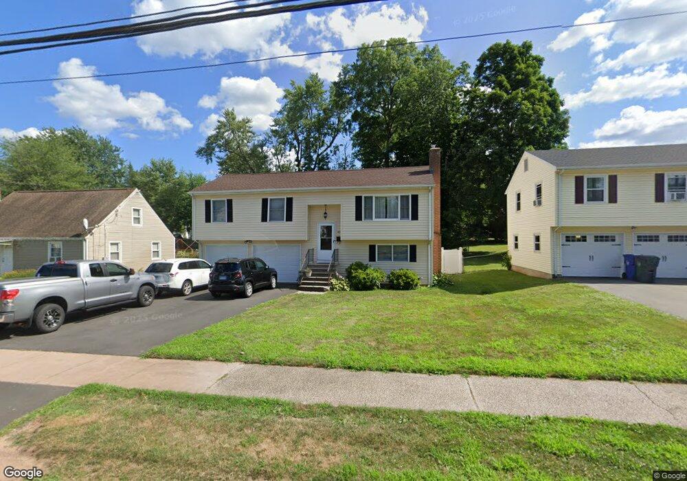
43 Stoddard Ave Newington, CT 06111
Estimated Value: $430,000 - $517,000
4
Beds
4
Baths
1,692
Sq Ft
$275/Sq Ft
Est. Value
About This Home
This home is located at 43 Stoddard Ave, Newington, CT 06111 and is currently estimated at $464,884, approximately $274 per square foot. 43 Stoddard Ave is a home located in Hartford County with nearby schools including Elizabeth Green School, Martin Kellogg Middle School, and Newington High School.
Ownership History
Date
Name
Owned For
Owner Type
Purchase Details
Closed on
Sep 27, 1994
Sold by
Haefs Anne P
Bought by
Pierson Virginai E and Marzano Sandra P
Current Estimated Value
Home Financials for this Owner
Home Financials are based on the most recent Mortgage that was taken out on this home.
Original Mortgage
$107,000
Interest Rate
4.25%
Mortgage Type
Unknown
Purchase Details
Closed on
Jul 22, 1987
Sold by
Caravello Frank
Bought by
Haefs Anne P
Create a Home Valuation Report for This Property
The Home Valuation Report is an in-depth analysis detailing your home's value as well as a comparison with similar homes in the area
Home Values in the Area
Average Home Value in this Area
Purchase History
| Date | Buyer | Sale Price | Title Company |
|---|---|---|---|
| Pierson Virginai E | $157,000 | -- | |
| Haefs Anne P | $169,900 | -- |
Source: Public Records
Mortgage History
| Date | Status | Borrower | Loan Amount |
|---|---|---|---|
| Open | Haefs Anne P | $269,037 | |
| Closed | Haefs Anne P | $104,000 | |
| Closed | Haefs Anne P | $107,000 |
Source: Public Records
Tax History Compared to Growth
Tax History
| Year | Tax Paid | Tax Assessment Tax Assessment Total Assessment is a certain percentage of the fair market value that is determined by local assessors to be the total taxable value of land and additions on the property. | Land | Improvement |
|---|---|---|---|---|
| 2025 | $8,820 | $220,610 | $54,320 | $166,290 |
| 2024 | $8,752 | $220,610 | $54,320 | $166,290 |
| 2023 | $8,463 | $220,610 | $54,320 | $166,290 |
| 2022 | $8,491 | $220,610 | $54,320 | $166,290 |
| 2021 | $8,562 | $220,610 | $54,320 | $166,290 |
| 2020 | $8,347 | $212,500 | $50,920 | $161,580 |
| 2019 | $8,383 | $212,500 | $50,920 | $161,580 |
| 2018 | $8,181 | $212,500 | $50,920 | $161,580 |
| 2017 | $7,775 | $212,500 | $50,920 | $161,580 |
| 2016 | $7,597 | $212,500 | $50,920 | $161,580 |
| 2015 | $7,509 | $209,740 | $51,410 | $158,330 |
| 2014 | $7,293 | $209,740 | $51,410 | $158,330 |
Source: Public Records
Map
Nearby Homes
- 73 Camp Ave
- 35 Harding Ave
- 27 Harding Ave
- 140 Camp Ave
- 47 Francis Dr
- 105 Gilbert Rd
- 263 Williamstown Ct
- 70 Cedar Ridge Rd
- 377 Connecticut Ave
- 29 Sunnyside Rd
- 193 Connecticut Ave
- 37 Commonwealth Ave
- 66 Rosemary Ln Unit 66
- 20 Surrey Dr Unit B16 aka B4
- 846 Main St
- 305 Hampton Ct
- 274 Newington Rd
- 57 Welles Dr
- 70 Cherry Hill Dr
- 36 Hartt Ln