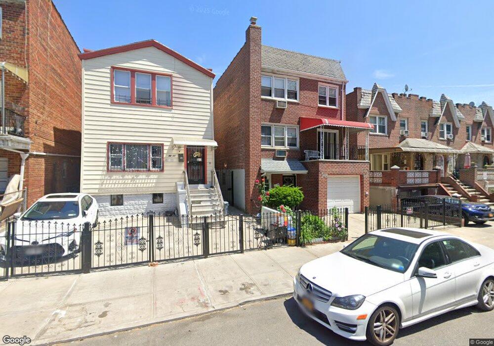
4303 53rd St Woodside, NY 11377
Woodside NeighborhoodEstimated Value: $1,684,000 - $1,833,000
--
Bed
--
Bath
3,298
Sq Ft
$526/Sq Ft
Est. Value
About This Home
This home is located at 4303 53rd St, Woodside, NY 11377 and is currently estimated at $1,734,000, approximately $525 per square foot. 4303 53rd St is a home located in Queens County with nearby schools including P.S. 11 Kathryn Phelan, William Cullen Bryant High School, and Razi School.
Ownership History
Date
Name
Owned For
Owner Type
Purchase Details
Closed on
Oct 21, 1996
Sold by
Lam Hoang Thanh
Bought by
53Rd Street Corp
Current Estimated Value
Home Financials for this Owner
Home Financials are based on the most recent Mortgage that was taken out on this home.
Original Mortgage
$240,000
Interest Rate
8.07%
Purchase Details
Closed on
Aug 29, 1996
Sold by
Rodgers James and Rodgers Maureen
Bought by
Lam Hoang Thanh
Home Financials for this Owner
Home Financials are based on the most recent Mortgage that was taken out on this home.
Original Mortgage
$240,000
Interest Rate
8.07%
Create a Home Valuation Report for This Property
The Home Valuation Report is an in-depth analysis detailing your home's value as well as a comparison with similar homes in the area
Home Values in the Area
Average Home Value in this Area
Purchase History
| Date | Buyer | Sale Price | Title Company |
|---|---|---|---|
| 53Rd Street Corp | -- | First American Title Ins Co | |
| Lam Hoang Thanh | $360,000 | -- |
Source: Public Records
Mortgage History
| Date | Status | Borrower | Loan Amount |
|---|---|---|---|
| Previous Owner | Lam Hoang Thanh | $240,000 |
Source: Public Records
Tax History Compared to Growth
Tax History
| Year | Tax Paid | Tax Assessment Tax Assessment Total Assessment is a certain percentage of the fair market value that is determined by local assessors to be the total taxable value of land and additions on the property. | Land | Improvement |
|---|---|---|---|---|
| 2025 | $13,759 | $72,613 | $16,120 | $56,493 |
| 2024 | $13,759 | $68,503 | $17,419 | $51,084 |
| 2023 | $13,125 | $64,627 | $14,426 | $50,201 |
| 2022 | $12,902 | $113,820 | $26,760 | $87,060 |
| 2021 | $13,498 | $94,320 | $26,760 | $67,560 |
| 2020 | $12,808 | $86,820 | $26,760 | $60,060 |
| 2019 | $11,942 | $83,880 | $26,760 | $57,120 |
| 2018 | $10,979 | $53,856 | $15,577 | $38,279 |
| 2017 | $10,979 | $53,856 | $18,548 | $35,308 |
| 2016 | $10,685 | $53,856 | $18,548 | $35,308 |
| 2015 | $6,431 | $50,426 | $28,077 | $22,349 |
| 2014 | $6,431 | $47,572 | $26,488 | $21,084 |
Source: Public Records
Map
Nearby Homes
- 4153 53rd St
- 41-53 53rd St
- 52-16 Roosevelt Ave Unit 2A
- 5216 Roosevelt Ave Unit 3A
- 5216 Roosevelt Ave Unit 5A
- 41-32 53rd St
- 43-06 55th St
- 4315 54th St
- 41-25 53rd St
- 43-30 52nd St Unit 2A
- 43-30 52nd St Unit 3B
- 4330 52nd St Unit 4A
- 41-31 51st St Unit 7M
- 41-31 51st St Unit 6M
- 52-30 39th Dr Unit 6S
- 52-30 39th Dr Unit LN
- 52-30 39th Dr Unit 7F
- 52-30 39th Dr Unit 9B
- 52-30 39th Dr Unit 3V
- 52-30 39th Dr Unit 12E