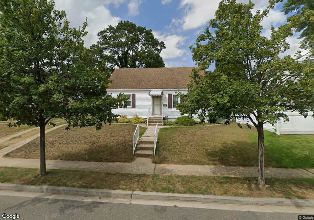
431 Barbara Ln West Hempstead, NY 11552
Estimated Value: $676,000 - $712,275
4
Beds
2
Baths
1,176
Sq Ft
$590/Sq Ft
Est. Value
About This Home
This home is located at 431 Barbara Ln, West Hempstead, NY 11552 and is currently estimated at $694,138, approximately $590 per square foot. 431 Barbara Ln is a home located in Nassau County with nearby schools including Davison Avenue Intermediate School, Maurice W. Downing Primary K-2 School, and Howard T Herber Middle School.
Ownership History
Date
Name
Owned For
Owner Type
Purchase Details
Closed on
Jun 20, 2012
Sold by
Wholesale Homes Inc
Bought by
The Synergy Real Estate Solutions Corp
Current Estimated Value
Purchase Details
Closed on
Aug 12, 2010
Sold by
The Bank Of New York Melon
Bought by
Wholesale Home Inc
Home Financials for this Owner
Home Financials are based on the most recent Mortgage that was taken out on this home.
Original Mortgage
$221,000
Interest Rate
4.37%
Mortgage Type
Purchase Money Mortgage
Purchase Details
Closed on
Mar 29, 2002
Create a Home Valuation Report for This Property
The Home Valuation Report is an in-depth analysis detailing your home's value as well as a comparison with similar homes in the area
Home Values in the Area
Average Home Value in this Area
Purchase History
| Date | Buyer | Sale Price | Title Company |
|---|---|---|---|
| The Synergy Real Estate Solutions Corp | $300,000 | Ram Abstract Ltd | |
| Wholesale Home Inc | $176,000 | -- | |
| -- | -- | -- |
Source: Public Records
Mortgage History
| Date | Status | Borrower | Loan Amount |
|---|---|---|---|
| Previous Owner | Wholesale Home Inc | $221,000 |
Source: Public Records
Tax History Compared to Growth
Tax History
| Year | Tax Paid | Tax Assessment Tax Assessment Total Assessment is a certain percentage of the fair market value that is determined by local assessors to be the total taxable value of land and additions on the property. | Land | Improvement |
|---|---|---|---|---|
| 2025 | $11,386 | $414 | $170 | $244 |
| 2024 | $4,205 | $414 | $170 | $244 |
| 2023 | $10,682 | $414 | $170 | $244 |
| 2022 | $10,682 | $413 | $170 | $243 |
| 2021 | $14,370 | $390 | $160 | $230 |
| 2020 | $11,039 | $631 | $432 | $199 |
| 2019 | $11,135 | $631 | $394 | $237 |
| 2018 | $10,400 | $692 | $0 | $0 |
| 2017 | $6,235 | $688 | $432 | $256 |
| 2016 | $10,282 | $688 | $432 | $256 |
| 2015 | $3,787 | $688 | $432 | $256 |
| 2014 | $3,787 | $688 | $432 | $256 |
| 2013 | $3,566 | $688 | $432 | $256 |
Source: Public Records
Map
Nearby Homes
- 966 Woodfield Rd
- 486 Champlain Ave
- 1024 Mahopac Rd
- 350 Coventry Rd N
- 0 Rhodes Ln
- 450 Rhodes Ln
- 1050 Mahopac Rd
- 7 Hopatcong Ave
- 841 Woodfield Rd
- 538 Champlain Ave
- 10 Pinebrook Ave
- 394 Pinebrook Ave
- 924 Otsego Ct
- 5 Juliette Rd
- 461 Pinebrook Ave
- 55 Melvin Ave
- 1025 Ontario Rd
- 49 Carol St
- 729 Janos Ln
- 747 Janos Ln
- 407 Barbara Ln
- 437 Barbara Ln
- 399 Barbara Ln
- 443 Barbara Ln
- 393 Barbara Ln
- 438 Barbara Ln
- 426 Barbara Ln
- 449 Maryann Ln
- 443 Maryann Ln
- 449 Barbara Ln
- 444 Barbara Ln
- 420 Barbara Ln
- 400 Barbara Ln
- 431 Whitestar Ave
- 419 Whitestar Ave
- 390 Barbara Ln
- 406 Barbara Ln
- 455 Maryann Ln
- 450 Barbara Ln
- 455 Barbara Ln