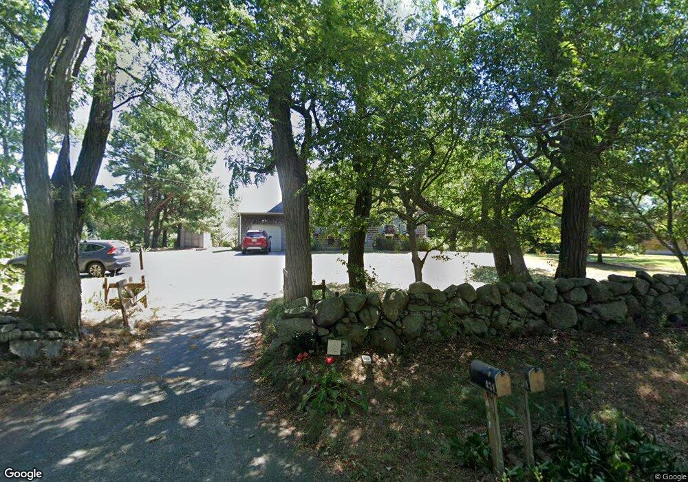
431 Broad Rock Rd Wakefield, RI 02879
Estimated Value: $670,105 - $721,000
3
Beds
2
Baths
1,685
Sq Ft
$415/Sq Ft
Est. Value
About This Home
This home is located at 431 Broad Rock Rd, Wakefield, RI 02879 and is currently estimated at $699,526, approximately $415 per square foot. 431 Broad Rock Rd is a home located in Washington County with nearby schools including South Kingstown High School, Monsignor Matthew Clarke Catholic Regional School, and Bradley School-South.
Ownership History
Date
Name
Owned For
Owner Type
Purchase Details
Closed on
Mar 29, 1991
Sold by
Pat Realty Dev Co Inc
Bought by
Gennari John M
Current Estimated Value
Home Financials for this Owner
Home Financials are based on the most recent Mortgage that was taken out on this home.
Original Mortgage
$116,900
Interest Rate
9.17%
Create a Home Valuation Report for This Property
The Home Valuation Report is an in-depth analysis detailing your home's value as well as a comparison with similar homes in the area
Home Values in the Area
Average Home Value in this Area
Purchase History
| Date | Buyer | Sale Price | Title Company |
|---|---|---|---|
| Gennari John M | $132,000 | -- |
Source: Public Records
Mortgage History
| Date | Status | Borrower | Loan Amount |
|---|---|---|---|
| Open | Gennari John M | $98,000 | |
| Closed | Gennari John M | $116,900 |
Source: Public Records
Tax History Compared to Growth
Tax History
| Year | Tax Paid | Tax Assessment Tax Assessment Total Assessment is a certain percentage of the fair market value that is determined by local assessors to be the total taxable value of land and additions on the property. | Land | Improvement |
|---|---|---|---|---|
| 2025 | $4,896 | $547,700 | $218,900 | $328,800 |
| 2024 | $4,896 | $443,100 | $168,800 | $274,300 |
| 2023 | $4,896 | $443,100 | $168,800 | $274,300 |
| 2022 | $4,852 | $443,100 | $168,800 | $274,300 |
| 2021 | $5,094 | $352,500 | $147,000 | $205,500 |
| 2020 | $5,094 | $352,500 | $147,000 | $205,500 |
| 2019 | $5,094 | $352,500 | $147,000 | $205,500 |
| 2018 | $5,027 | $320,600 | $136,800 | $183,800 |
| 2017 | $4,908 | $320,600 | $136,800 | $183,800 |
| 2016 | $4,838 | $320,600 | $136,800 | $183,800 |
| 2015 | $4,734 | $305,000 | $133,900 | $171,100 |
| 2014 | $4,721 | $305,000 | $133,900 | $171,100 |
Source: Public Records
Map
Nearby Homes
- 70 Broad Rock Rd
- 128 North Rd
- 918 Saugatucket Rd
- 3 Larkin St
- 40 Amos St
- 957 Saugatucket Rd
- 73 Camden Ct
- 128 Camden Ct
- 229 Saugatucket Rd
- 48 Stone Bridge Dr
- 53 Rocky Brook Way
- 156 River St Unit B
- 294 Rose Hill Rd
- 228 Rodman St
- 10 Hendricks St
- 37 Columbia St
- 45 Cherry Ln Unit C
- 128 Rodman St
- 38 Eisenhower Place
- 39 Hazard Ave
- 445 Broad Rock Rd
- 415 Broad Rock Rd
- 390 Broad Rock Rd
- 25 Lewis Ln
- 461 Broad Rock Rd
- 35 Lewis Ln
- 37 Lewis Ln
- 378 Broad Rock Rd
- 364 Oakwoods Dr
- 372 Oakwoods Dr
- 479 Broad Rock Rd
- 384 Oakwoods Dr
- 424 Oakwoods Dr
- 39 Lewis Ln
- 0 Lewis Ln
- 369 Oakwoods Dr
- 400 Oakwoods Dr
- 41 Lewis Ln
- 340 Oakwoods Dr
- 375 Oakwoods Dr