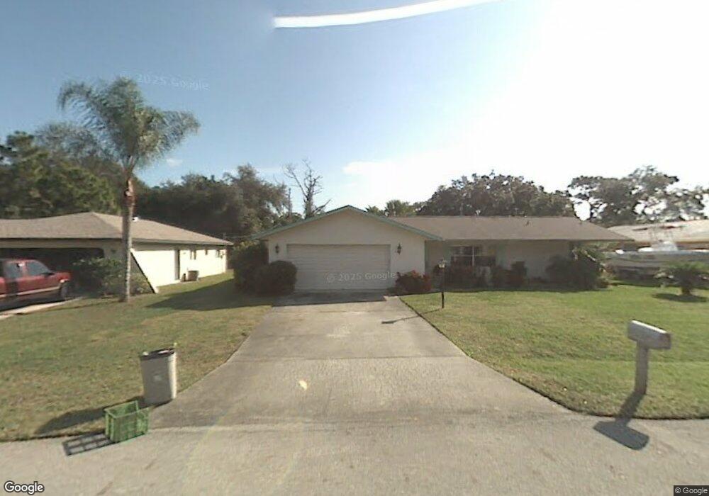
431 Plant Ave NE Palm Bay, FL 32907
Port Malabar NeighborhoodEstimated Value: $258,000 - $283,000
3
Beds
2
Baths
1,372
Sq Ft
$197/Sq Ft
Est. Value
About This Home
This home is located at 431 Plant Ave NE, Palm Bay, FL 32907 and is currently estimated at $269,754, approximately $196 per square foot. 431 Plant Ave NE is a home located in Brevard County with nearby schools including Port Malabar Elementary School, Stone Magnet Middle School, and Palm Bay Magnet Senior High School.
Ownership History
Date
Name
Owned For
Owner Type
Purchase Details
Closed on
Dec 23, 1996
Sold by
Conrad Joseph G and Conrad Esther
Bought by
Conrad Christopher A
Current Estimated Value
Home Financials for this Owner
Home Financials are based on the most recent Mortgage that was taken out on this home.
Original Mortgage
$67,000
Outstanding Balance
$6,731
Interest Rate
7.57%
Estimated Equity
$263,023
Create a Home Valuation Report for This Property
The Home Valuation Report is an in-depth analysis detailing your home's value as well as a comparison with similar homes in the area
Home Values in the Area
Average Home Value in this Area
Purchase History
| Date | Buyer | Sale Price | Title Company |
|---|---|---|---|
| Conrad Christopher A | $95,000 | -- |
Source: Public Records
Mortgage History
| Date | Status | Borrower | Loan Amount |
|---|---|---|---|
| Open | Conrad Christopher A | $67,000 |
Source: Public Records
Tax History Compared to Growth
Tax History
| Year | Tax Paid | Tax Assessment Tax Assessment Total Assessment is a certain percentage of the fair market value that is determined by local assessors to be the total taxable value of land and additions on the property. | Land | Improvement |
|---|---|---|---|---|
| 2025 | $719 | $77,750 | -- | -- |
| 2024 | $703 | $75,560 | -- | -- |
| 2023 | $703 | $73,360 | $0 | $0 |
| 2022 | $670 | $71,230 | $0 | $0 |
| 2021 | $691 | $69,160 | $0 | $0 |
| 2020 | $686 | $68,210 | $0 | $0 |
| 2019 | $846 | $66,680 | $0 | $0 |
| 2018 | $843 | $65,440 | $0 | $0 |
| 2017 | $874 | $64,100 | $0 | $0 |
| 2016 | $708 | $62,790 | $6,500 | $56,290 |
| 2015 | $723 | $62,360 | $6,500 | $55,860 |
| 2014 | $730 | $61,870 | $6,500 | $55,370 |
Source: Public Records
Map
Nearby Homes
- 401 Homestead Ave NE
- 1581 Charles Blvd NE
- 1712 Apache St NE
- 1650 Alpha St NE
- 350 Riley Ave NE
- 1651 Alpha St NE
- 312 Nogales Ave NE
- 430 Nogales Ave NE
- 1563 Omega St NE
- 000 Pioneer Ave NE
- 255 Roman Ave NE
- 282 Velvet Ave NE
- 1811 Barker St NE
- 449 Brookdale Ave NE
- 481 Ralwood Ln NE
- 584 Laurel Oak Ct NE
- 1886 Garcia St NE
- 1303 Nolan St NE
- 458 Beauregard Ave NE
- 1507 Meadowbrook Rd NE
- 421 Plant Ave NE
- 441 Plant Ave NE
- 442 New Ave NE
- 411 Plant Ave NE
- 451 Plant Ave NE
- 430 Plant Ave NE
- 440 Plant Ave NE
- 424 New Ave NE
- 420 Plant Ave NE
- 450 Plant Ave NE
- 478 New Ave NE
- 471 Plant Ave NE
- 410 Plant Ave NE
- 1607 Nebraska St NE
- 460 Plant Ave NE
- 419 Rome Ave NE
- 1623 Nebraska St NE
- 427 Rome Ave NE Unit Port Malabar Unit 29
- 435 Rome Ave NE
- 448 Nina Rd NE