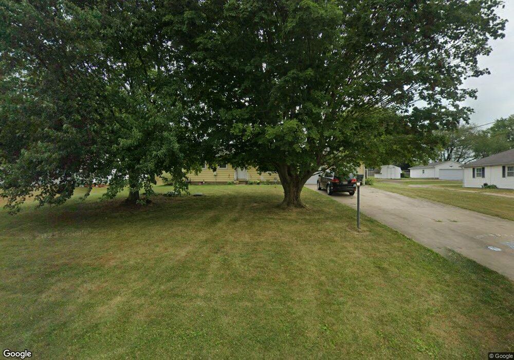
4310 Swallen Ave Louisville, OH 44641
Estimated Value: $177,116 - $232,000
2
Beds
2
Baths
960
Sq Ft
$208/Sq Ft
Est. Value
About This Home
This home is located at 4310 Swallen Ave, Louisville, OH 44641 and is currently estimated at $200,029, approximately $208 per square foot. 4310 Swallen Ave is a home located in Stark County with nearby schools including Louisville High School and St. Thomas Aquinas High School & Middle School.
Ownership History
Date
Name
Owned For
Owner Type
Purchase Details
Closed on
Nov 25, 2019
Sold by
Mcdonald Lisa A
Bought by
Dickerhoof Nathan J and Dickerhoof Jessica
Current Estimated Value
Home Financials for this Owner
Home Financials are based on the most recent Mortgage that was taken out on this home.
Original Mortgage
$135,990
Outstanding Balance
$119,658
Interest Rate
3.5%
Mortgage Type
FHA
Estimated Equity
$80,371
Create a Home Valuation Report for This Property
The Home Valuation Report is an in-depth analysis detailing your home's value as well as a comparison with similar homes in the area
Home Values in the Area
Average Home Value in this Area
Purchase History
| Date | Buyer | Sale Price | Title Company |
|---|---|---|---|
| Dickerhoof Nathan J | $138,500 | None Available |
Source: Public Records
Mortgage History
| Date | Status | Borrower | Loan Amount |
|---|---|---|---|
| Open | Dickerhoof Nathan J | $135,990 |
Source: Public Records
Tax History Compared to Growth
Tax History
| Year | Tax Paid | Tax Assessment Tax Assessment Total Assessment is a certain percentage of the fair market value that is determined by local assessors to be the total taxable value of land and additions on the property. | Land | Improvement |
|---|---|---|---|---|
| 2025 | -- | $47,610 | $14,950 | $32,660 |
| 2024 | -- | $47,610 | $14,950 | $32,660 |
| 2023 | $1,859 | $38,220 | $10,570 | $27,650 |
| 2022 | $1,865 | $38,220 | $10,570 | $27,650 |
| 2021 | $1,870 | $38,220 | $10,570 | $27,650 |
| 2020 | $1,561 | $33,710 | $9,520 | $24,190 |
| 2019 | $1,156 | $33,710 | $9,520 | $24,190 |
| 2018 | $1,151 | $33,710 | $9,520 | $24,190 |
| 2017 | $1,104 | $31,440 | $8,930 | $22,510 |
| 2016 | $868 | $26,960 | $8,930 | $18,030 |
| 2015 | $218 | $26,960 | $8,930 | $18,030 |
| 2014 | $762 | $23,490 | $7,770 | $15,720 |
| 2013 | $108 | $23,490 | $7,770 | $15,720 |
Source: Public Records
Map
Nearby Homes
- 2110 Edmar St
- 2015 E Main St
- 1812 E Broad St
- 1715 High St
- 3390 Meese Rd NE
- 5495 Meese Rd NE
- 0 Michigan Blvd
- 5765 Maplegrove St
- 641 S Nickelplate St
- 308 Superior St
- 520 S Silver St
- 5990 Meese Rd NE
- 728 E Broad St
- 1170 Winding Ridge Ave
- 908 Sand Lot Cir
- 6052 N Nickelplate St
- 910 Crosswyck Cir
- 8225 Georgetown St
- 325 Lincoln Ave
- 204 E Broad St
- 4310 Swallen Ave
- 4320 Swallen Ave
- 4284 Swallen Ave
- 4344 Swallen Ave
- 4315 Swallen Ave
- 4274 Swallen Ave
- 4364 Swallen Ave
- 4242 Swallen Ave
- 4269 Swallen Ave
- 4400 Swallen Ave
- 4375 Swallen Ave
- 4375 Swallen Ave
- 4191 Swallen Ave
- 4420 Swallen Ave
- 4174 Swallen Ave
- 4440 Swallen Ave
- 9580 Louisville St
- 9604 Louisville St
- 9668 Louisville St
- 9604 Louisville St NE