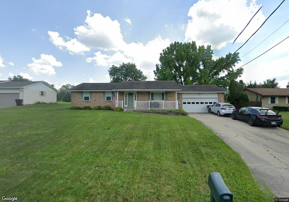
4317 Randall Dr Liberty Township, OH 45011
Estimated Value: $252,000 - $333,000
3
Beds
2
Baths
1,506
Sq Ft
$197/Sq Ft
Est. Value
About This Home
This home is located at 4317 Randall Dr, Liberty Township, OH 45011 and is currently estimated at $297,433, approximately $197 per square foot. 4317 Randall Dr is a home located in Butler County with nearby schools including Cherokee Elementary School, Heritage Early Childhood School, and Lakota Plains Junior School.
Ownership History
Date
Name
Owned For
Owner Type
Purchase Details
Closed on
Jul 30, 1998
Sold by
Bullock David A and Bullock Emily Jane
Bought by
Stone Richard Scott and Stone Valerie L
Current Estimated Value
Home Financials for this Owner
Home Financials are based on the most recent Mortgage that was taken out on this home.
Original Mortgage
$110,532
Outstanding Balance
$22,074
Interest Rate
7.03%
Mortgage Type
FHA
Estimated Equity
$275,359
Purchase Details
Closed on
May 1, 1988
Create a Home Valuation Report for This Property
The Home Valuation Report is an in-depth analysis detailing your home's value as well as a comparison with similar homes in the area
Home Values in the Area
Average Home Value in this Area
Purchase History
| Date | Buyer | Sale Price | Title Company |
|---|---|---|---|
| Stone Richard Scott | $111,000 | Midland Title Security Inc | |
| -- | $75,000 | -- |
Source: Public Records
Mortgage History
| Date | Status | Borrower | Loan Amount |
|---|---|---|---|
| Open | Stone Richard Scott | $110,532 |
Source: Public Records
Tax History Compared to Growth
Tax History
| Year | Tax Paid | Tax Assessment Tax Assessment Total Assessment is a certain percentage of the fair market value that is determined by local assessors to be the total taxable value of land and additions on the property. | Land | Improvement |
|---|---|---|---|---|
| 2024 | $2,876 | $73,630 | $13,070 | $60,560 |
| 2023 | $2,840 | $73,500 | $13,070 | $60,430 |
| 2022 | $2,594 | $52,660 | $13,070 | $39,590 |
| 2021 | $2,580 | $52,660 | $13,070 | $39,590 |
| 2020 | $2,647 | $52,660 | $13,070 | $39,590 |
| 2019 | $4,770 | $49,520 | $12,430 | $37,090 |
| 2018 | $2,779 | $49,520 | $12,430 | $37,090 |
| 2017 | $2,819 | $49,520 | $12,430 | $37,090 |
| 2016 | $2,544 | $44,200 | $12,430 | $31,770 |
| 2015 | $2,540 | $44,200 | $12,430 | $31,770 |
| 2014 | $2,675 | $44,200 | $12,430 | $31,770 |
| 2013 | $2,675 | $44,910 | $12,430 | $32,480 |
Source: Public Records
Map
Nearby Homes
- 5765 Keshena Dr
- 0 Liberty Square Dr
- 4328 Palomino Ln
- 5870 Shetland Ct
- 4334 Palomino Ln
- 5861 Mill Crest Ct
- 4706 Oakview Ct
- 5467 Pacific Crest Ln
- 5901 Jenny Marie Ct
- 5485 Superior Ct
- 4821 Osprey Pointe Dr
- Serenity Plan at Timberhill - Classic Series
- 3972 Olinger Ln
- 3980 Olinger Ln
- 5480 White Pine Ln
- 5560 Birch Ct
- 5556 Birch Ct
- 5490 White Pine Ln
- Dawson Plan at Timberhill - Classic Series
- 5549 Birch Ct
- 4307 Randall Dr
- 4327 Randall Dr
- 5824 Keshena Ct
- 5834 Keshena Ct
- 4297 Randall Dr
- 4337 Randall Dr
- 4320 Randall Dr
- 4310 Randall Dr
- 5816 Keshena Ct
- 5831 Keshena Ct
- 4330 Randall Dr
- 4287 Randall Dr
- 4300 Randall Dr
- 4349 Randall Dr
- 4340 Randall Dr
- 4290 Randall Dr
- 5821 Keshena Ct
- 5732 Keshena Dr
- 4277 Randall Dr
- 5806 Keshena Ct