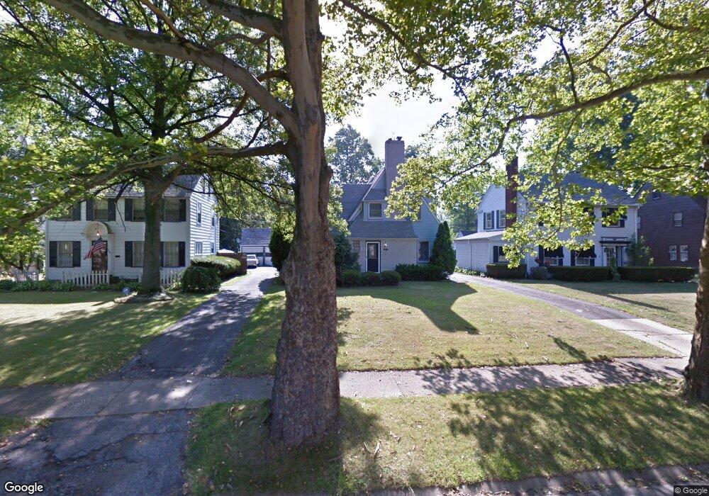
4325 Howard St Youngstown, OH 44512
Estimated Value: $104,535 - $168,000
4
Beds
3
Baths
2,468
Sq Ft
$55/Sq Ft
Est. Value
About This Home
This home is located at 4325 Howard St, Youngstown, OH 44512 and is currently estimated at $136,384, approximately $55 per square foot. 4325 Howard St is a home located in Mahoning County with nearby schools including Taft Elementary School, East High School, and Horizon Science Academy - Youngstown.
Ownership History
Date
Name
Owned For
Owner Type
Purchase Details
Closed on
Jan 29, 2022
Sold by
Cbw Enterprises Llc
Bought by
Drm Resources Llc
Current Estimated Value
Purchase Details
Closed on
Dec 13, 2021
Sold by
Tag Resoruces Llc
Bought by
Cbw Enterprises Llc
Purchase Details
Closed on
Sep 11, 2013
Sold by
Durkin Thomas M and Durkin Pamela J
Bought by
Tag Resources Llc
Purchase Details
Closed on
Jan 1, 1990
Bought by
Durkin Thos M and Durkin Pamela J
Create a Home Valuation Report for This Property
The Home Valuation Report is an in-depth analysis detailing your home's value as well as a comparison with similar homes in the area
Home Values in the Area
Average Home Value in this Area
Purchase History
| Date | Buyer | Sale Price | Title Company |
|---|---|---|---|
| Drm Resources Llc | $34,000 | None Listed On Document | |
| Cbw Enterprises Llc | $31,500 | Title Co Of Warren Agcy Inc | |
| Tag Resources Llc | $22,500 | Attorney | |
| Durkin Thos M | -- | -- |
Source: Public Records
Tax History Compared to Growth
Tax History
| Year | Tax Paid | Tax Assessment Tax Assessment Total Assessment is a certain percentage of the fair market value that is determined by local assessors to be the total taxable value of land and additions on the property. | Land | Improvement |
|---|---|---|---|---|
| 2024 | $1,590 | $32,550 | $2,140 | $30,410 |
| 2023 | $1,579 | $32,550 | $2,140 | $30,410 |
| 2022 | $1,321 | $20,960 | $2,160 | $18,800 |
| 2021 | $1,321 | $20,960 | $2,160 | $18,800 |
| 2020 | $1,329 | $20,960 | $2,160 | $18,800 |
| 2019 | $1,334 | $18,880 | $1,940 | $16,940 |
| 2018 | $1,348 | $18,880 | $1,940 | $16,940 |
| 2017 | $1,345 | $18,880 | $1,940 | $16,940 |
| 2016 | $1,352 | $20,430 | $2,330 | $18,100 |
| 2015 | $1,324 | $20,430 | $2,330 | $18,100 |
| 2014 | $1,315 | $20,430 | $2,330 | $18,100 |
| 2013 | $1,298 | $20,430 | $2,330 | $18,100 |
Source: Public Records
Map
Nearby Homes
- 4312 Helena Ave
- 4307 Helena Ave
- 30 Pinehurst Ave
- 4144 Helena Ave
- 4504 Southern Blvd
- 60 Shadyside Dr
- 4508 Southern Blvd
- 94 Shadyside Dr
- 94 Beechwood Dr
- 83 Beechwood Dr
- 3916 Howard St
- 28 Terrace Dr
- 4250 Oak Knoll Dr
- 148 Clifton Dr
- 204 Lowell Ave
- 117 Overhill Rd
- 4141 Windsor Rd
- 188 Clarencedale Ave
- 4225 Stratford Rd
- 230 Clarencedale Ave