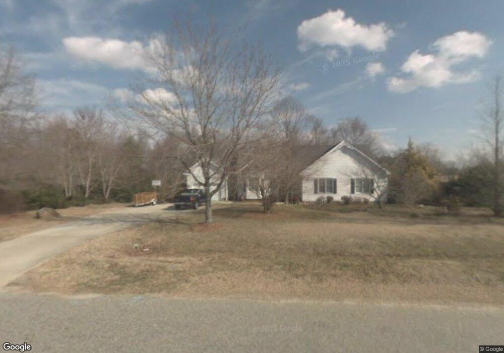
4329 S Mountain Dr Raleigh, NC 27603
Estimated Value: $412,175 - $466,000
--
Bed
3
Baths
1,751
Sq Ft
$246/Sq Ft
Est. Value
About This Home
This home is located at 4329 S Mountain Dr, Raleigh, NC 27603 and is currently estimated at $430,044, approximately $245 per square foot. 4329 S Mountain Dr is a home located in Wake County with nearby schools including Vance Elementary School, North Garner Middle, and Garner High.
Ownership History
Date
Name
Owned For
Owner Type
Purchase Details
Closed on
Jan 7, 2002
Sold by
Clawson Paul W and Clawson Sharon P
Bought by
Hobbs Marvin Baxter and Hobbs Shelly Osborne
Current Estimated Value
Home Financials for this Owner
Home Financials are based on the most recent Mortgage that was taken out on this home.
Original Mortgage
$160,075
Outstanding Balance
$78,812
Interest Rate
9.99%
Estimated Equity
$351,232
Create a Home Valuation Report for This Property
The Home Valuation Report is an in-depth analysis detailing your home's value as well as a comparison with similar homes in the area
Home Values in the Area
Average Home Value in this Area
Purchase History
| Date | Buyer | Sale Price | Title Company |
|---|---|---|---|
| Hobbs Marvin Baxter | $160,000 | -- |
Source: Public Records
Mortgage History
| Date | Status | Borrower | Loan Amount |
|---|---|---|---|
| Open | Hobbs Marvin Baxter | $160,075 |
Source: Public Records
Tax History Compared to Growth
Tax History
| Year | Tax Paid | Tax Assessment Tax Assessment Total Assessment is a certain percentage of the fair market value that is determined by local assessors to be the total taxable value of land and additions on the property. | Land | Improvement |
|---|---|---|---|---|
| 2025 | $2,761 | $428,534 | $100,000 | $328,534 |
| 2024 | $2,681 | $428,534 | $100,000 | $328,534 |
| 2023 | $2,114 | $268,522 | $56,000 | $212,522 |
| 2022 | $1,959 | $268,522 | $56,000 | $212,522 |
| 2021 | $1,907 | $268,522 | $56,000 | $212,522 |
| 2020 | $1,875 | $268,522 | $56,000 | $212,522 |
| 2019 | $1,796 | $217,418 | $56,000 | $161,418 |
| 2018 | $1,652 | $217,418 | $56,000 | $161,418 |
| 2017 | $1,566 | $217,418 | $56,000 | $161,418 |
| 2016 | $1,534 | $217,418 | $56,000 | $161,418 |
| 2015 | $1,542 | $219,083 | $44,000 | $175,083 |
| 2014 | $1,462 | $219,083 | $44,000 | $175,083 |
Source: Public Records
Map
Nearby Homes
- 1105 High Summit Dr
- 101 Lyle Rd
- 1124 Armsleigh Ct
- 7805 Crestwood Dr
- 1121 Whitecroft Dr
- 286 Fosterton Cottage Way
- 342 Amber Acorn Ave
- 173 Tawny Slope Ct
- 8529 Hurst Dr
- 264 Fosterton Cottage Way
- 262 Fosterton Cottage Way
- 372 Amber Acorn Ave
- 252 Fosterton Cottage Way
- 684 Ben Ledi Ct
- 51 Cheshire Downs Ct
- 456 Grange Farm Place
- 517 Prestonfield Way
- 513 Prestonfield Way
- 4705 Trotter Dr
- 621 Ben Ledi Ct
- 4333 S Mountain Dr
- 4321 S Mountain Dr
- 4320 S Mountain Dr
- 4341 S Mountain Dr
- 4336 S Mountain Dr
- 4317 S Mountain Dr
- 8909 Ten Ten Rd
- 1104 Sky Ridge Dr
- 4309 S Mountain Dr
- 1101 Sky Point Ct
- 8828 Ten Ten Rd
- 1105 Sky Ridge Dr
- 1109 Sky Point Ct
- 8900 Ten Ten Rd
- 1025 S Knoll Ct
- 4200 Buffaloe Farm Ln
- 1017 S Knoll Ct
- 1108 Sky Ridge Dr
- 1109 Sky Ridge Dr
- 1009 S Knoll Ct