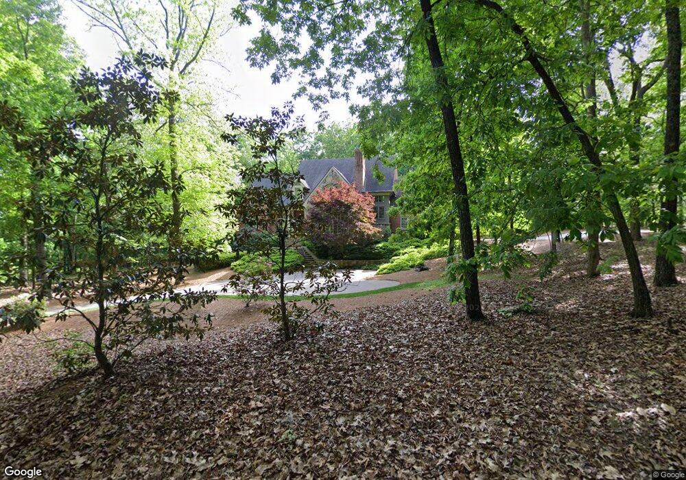
4331 Morrison Rd Powder Springs, GA 30127
West Cobb NeighborhoodEstimated Value: $737,000 - $1,111,000
3
Beds
3
Baths
4,233
Sq Ft
$214/Sq Ft
Est. Value
About This Home
This home is located at 4331 Morrison Rd, Powder Springs, GA 30127 and is currently estimated at $906,028, approximately $214 per square foot. 4331 Morrison Rd is a home located in Cobb County with nearby schools including Kemp Elementary School, Lovinggood Middle School, and Hillgrove High School.
Ownership History
Date
Name
Owned For
Owner Type
Purchase Details
Closed on
Sep 30, 2004
Sold by
Ballew James E and Ballew Yvonne
Bought by
Kimbrough Michael S and Kimbrough Kimbreell
Current Estimated Value
Home Financials for this Owner
Home Financials are based on the most recent Mortgage that was taken out on this home.
Original Mortgage
$271,422
Interest Rate
5.71%
Create a Home Valuation Report for This Property
The Home Valuation Report is an in-depth analysis detailing your home's value as well as a comparison with similar homes in the area
Home Values in the Area
Average Home Value in this Area
Purchase History
| Date | Buyer | Sale Price | Title Company |
|---|---|---|---|
| Kimbrough Michael S | $269,000 | -- |
Source: Public Records
Mortgage History
| Date | Status | Borrower | Loan Amount |
|---|---|---|---|
| Closed | Kimbrough Michael S | $271,422 |
Source: Public Records
Tax History Compared to Growth
Tax History
| Year | Tax Paid | Tax Assessment Tax Assessment Total Assessment is a certain percentage of the fair market value that is determined by local assessors to be the total taxable value of land and additions on the property. | Land | Improvement |
|---|---|---|---|---|
| 2025 | $10,986 | $475,892 | $117,040 | $358,852 |
| 2024 | $10,995 | $475,892 | $117,040 | $358,852 |
| 2023 | $8,709 | $395,496 | $108,416 | $287,080 |
| 2022 | $8,708 | $367,160 | $80,080 | $287,080 |
| 2021 | $7,896 | $330,032 | $80,080 | $249,952 |
| 2020 | $7,761 | $323,872 | $73,920 | $249,952 |
| 2019 | $6,981 | $288,244 | $56,672 | $231,572 |
| 2018 | $6,981 | $288,244 | $56,672 | $231,572 |
| 2017 | $6,593 | $277,156 | $45,584 | $231,572 |
| 2016 | $6,611 | $277,156 | $45,584 | $231,572 |
| 2015 | $6,744 | $277,948 | $39,424 | $238,524 |
| 2014 | $6,778 | $277,948 | $0 | $0 |
Source: Public Records
Map
Nearby Homes
- 292 County Rd SW
- 280 County Rd SW
- 286 County Rd SW
- 777 Chanson Dr SW
- 380 Parkside Meadow Dr SW
- 3797 Churchill Dr SW
- 700 Broadlands Ln Unit 1
- 3780 Churchill Dr SW
- 4188 Fawn Ivy Ln
- 3722 Casteel Park Dr SW
- 1079 Angel Ln
- 4796 Dallas Hwy
- 4562 Willow Oak Trail Unit 3
- 1072 Sweet Mia Ln
- 633 Wynnewood Ct SW
- 4609 McTyre Way NW
- 1073 Sweet Mia Ln
- 4351 Morrison Rd
- 490 Mayes Rd
- 4205 Morrison Rd Unit 17
- 0 Morrison Rd Unit 8825841
- 0 Morrison Rd Unit 8679755
- 0 Morrison Rd Unit 3013219
- 0 Morrison Rd Unit 8457846
- 560 Mayes Rd
- 4340 Morrison Rd
- 4375 Morrison Rd
- 580 Mayes Rd
- 416 Mayes Rd
- 470 Mayes Rd
- 398 Mayes Rd
- 511 Mayes Rd
- 590 Mayes Rd Unit 6 Acres
- 590 Mayes Rd
- 380 Mayes Rd
- 4390 Morrison Rd
- 362 Mayes Rd