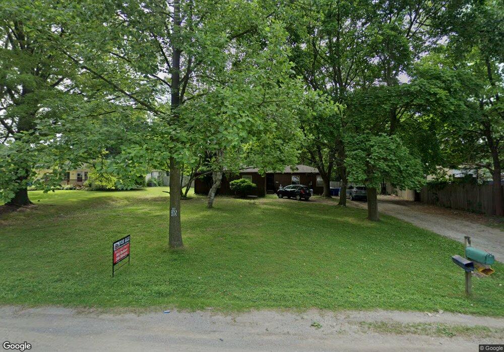
4332 Lessing Waterford, MI 48329
Waterford Township NeighborhoodEstimated Value: $242,000 - $295,783
3
Beds
2
Baths
1,196
Sq Ft
$231/Sq Ft
Est. Value
About This Home
This home is located at 4332 Lessing, Waterford, MI 48329 and is currently estimated at $275,696, approximately $230 per square foot. 4332 Lessing is a home located in Oakland County with nearby schools including Schoolcraft Elementary School, Waterford Kettering High School, and Mason Middle School.
Ownership History
Date
Name
Owned For
Owner Type
Purchase Details
Closed on
Aug 5, 2004
Sold by
Duncan Misty Jo
Bought by
Duncan Thomas Andrew and Duncan Misty Jo
Current Estimated Value
Home Financials for this Owner
Home Financials are based on the most recent Mortgage that was taken out on this home.
Original Mortgage
$136,000
Outstanding Balance
$65,733
Interest Rate
5.62%
Mortgage Type
Purchase Money Mortgage
Estimated Equity
$209,963
Purchase Details
Closed on
Oct 16, 2003
Sold by
Ballard Taffy Sue
Bought by
Duncan Misty Jo
Purchase Details
Closed on
Jan 21, 1999
Sold by
Ballard Bill
Bought by
Ballard Taffy Sue
Create a Home Valuation Report for This Property
The Home Valuation Report is an in-depth analysis detailing your home's value as well as a comparison with similar homes in the area
Home Values in the Area
Average Home Value in this Area
Purchase History
| Date | Buyer | Sale Price | Title Company |
|---|---|---|---|
| Duncan Thomas Andrew | -- | Blue Water Title | |
| Duncan Misty Jo | $130,000 | Philip R Seaver Title Co Inc | |
| Ballard Taffy Sue | -- | -- |
Source: Public Records
Mortgage History
| Date | Status | Borrower | Loan Amount |
|---|---|---|---|
| Open | Duncan Thomas Andrew | $136,000 |
Source: Public Records
Tax History Compared to Growth
Tax History
| Year | Tax Paid | Tax Assessment Tax Assessment Total Assessment is a certain percentage of the fair market value that is determined by local assessors to be the total taxable value of land and additions on the property. | Land | Improvement |
|---|---|---|---|---|
| 2024 | $1,179 | $135,710 | $0 | $0 |
| 2023 | $1,124 | $127,700 | $0 | $0 |
| 2022 | $2,711 | $114,880 | $0 | $0 |
| 2021 | $1,762 | $110,020 | $0 | $0 |
| 2020 | $1,030 | $107,200 | $0 | $0 |
| 2019 | $1,710 | $98,810 | $0 | $0 |
| 2018 | $2,441 | $75,570 | $0 | $0 |
| 2017 | $1,563 | $75,570 | $0 | $0 |
| 2016 | $2,168 | $68,620 | $0 | $0 |
| 2015 | -- | $59,390 | $0 | $0 |
| 2014 | -- | $50,990 | $0 | $0 |
| 2011 | -- | $55,910 | $0 | $0 |
Source: Public Records
Map
Nearby Homes
- 6570 Saline Dr
- 6522 Saline Dr
- 6533 Cloverton Dr
- 6685 Windiate Rd
- 6629 Andersonville Rd Unit A8
- 6723 Andersonville Rd Unit E42
- 000 Waterloo St
- 4602 Curtis Ln
- 6689 Andersonville Rd
- 3880 Lotus Dr
- 4619 Curtis Ln
- 4341 Barnard Rd
- 4123 Windiate Park Dr
- 4281 Marcus Rd
- 6624 Wellesley Terrace
- 3867 Percy King Rd
- 6031 Southward Ave
- 6003 Rolton Ct
- 6788 Balmoral Terrace
- 00 Blain Island