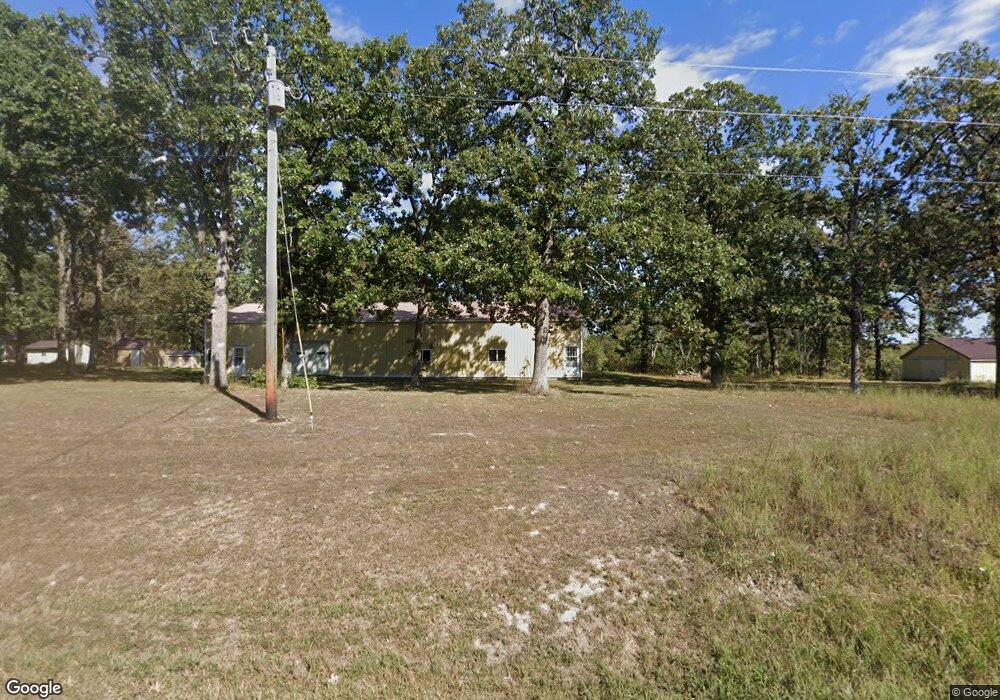
43339 Highway 87 Russellville, MO 65074
Estimated Value: $269,614 - $706,000
--
Bed
--
Bath
1,184
Sq Ft
$359/Sq Ft
Est. Value
About This Home
This home is located at 43339 Highway 87, Russellville, MO 65074 and is currently estimated at $424,871, approximately $358 per square foot. 43339 Highway 87 is a home.
Create a Home Valuation Report for This Property
The Home Valuation Report is an in-depth analysis detailing your home's value as well as a comparison with similar homes in the area
Home Values in the Area
Average Home Value in this Area
Tax History Compared to Growth
Tax History
| Year | Tax Paid | Tax Assessment Tax Assessment Total Assessment is a certain percentage of the fair market value that is determined by local assessors to be the total taxable value of land and additions on the property. | Land | Improvement |
|---|---|---|---|---|
| 2024 | $1,161 | $19,280 | $0 | $0 |
| 2023 | $1,163 | $19,280 | $0 | $0 |
| 2022 | $1,161 | $19,280 | $0 | $0 |
| 2021 | $1,161 | $19,280 | $0 | $0 |
| 2020 | $1,080 | $17,770 | $0 | $0 |
| 2019 | $1,093 | $17,770 | $0 | $0 |
| 2018 | $1,084 | $17,790 | $0 | $0 |
| 2017 | $1,070 | $14,360 | $790 | $13,570 |
| 2016 | $1,072 | $17,790 | $0 | $0 |
| 2011 | -- | $17,770 | $0 | $0 |
Source: Public Records
Map
Nearby Homes
- 59289 Prairie Hill Rd
- TBD 13A Shaw Rd
- 0 Shaw Rd
- 10 Hidden Oaks Rd
- 111 County Road 00-4
- 0 Missouri 87
- 901 N Oak St
- 612 N Maple St
- 11 Hancock Rd
- 412 N Maple St
- 207 Greenwich Ave
- 705 W Rollotrend Ln
- 304 N Maple St
- 509 Sunset Strip
- 110 W Autry St
- 207 N Leeds Ave
- 612 E High St
- 102 Gerhart Ave
- 920 E North St
- 206 N Chestnut St
- 43370 Highway 87
- 43507 Highway 87
- 58970 Shepherd Rd
- 59011 Shalom Dr
- 5291 Shalom Dr
- 59008 Shalom Dr
- 59030 Shalom Dr
- 42959 Missouri 87
- 42959 Highway 87
- 42959 Highway 87
- 42924 Highway 87
- 59034 Shalom Dr
- 59034 Shalom Dr
- 59291 Shalom Dr
- 59391 Shalom Dr
- 42798 Highway 87
- 42798 Highway 87
- 42798 Missouri 87
- 59026 Shalom Dr
- 59636 Shepherd Rd