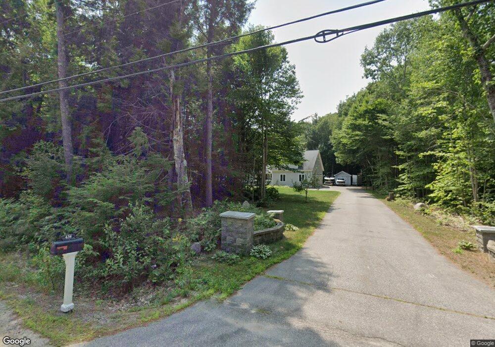
434 Davis Hill Rd Center Conway, NH 03813
Estimated Value: $739,000 - $819,405
3
Beds
3
Baths
3,380
Sq Ft
$228/Sq Ft
Est. Value
About This Home
This home is located at 434 Davis Hill Rd, Center Conway, NH 03813 and is currently estimated at $771,351, approximately $228 per square foot. 434 Davis Hill Rd is a home located in Carroll County with nearby schools including A. Crosby Kennett Middle School, Kennett High School, and Cady Memorial School.
Ownership History
Date
Name
Owned For
Owner Type
Purchase Details
Closed on
Apr 7, 2006
Sold by
Graziano Leonard W and Graziano Sheila R
Bought by
Porter Mark F and Porter Sonya M
Current Estimated Value
Home Financials for this Owner
Home Financials are based on the most recent Mortgage that was taken out on this home.
Original Mortgage
$220,000
Interest Rate
6.26%
Mortgage Type
Purchase Money Mortgage
Create a Home Valuation Report for This Property
The Home Valuation Report is an in-depth analysis detailing your home's value as well as a comparison with similar homes in the area
Home Values in the Area
Average Home Value in this Area
Purchase History
| Date | Buyer | Sale Price | Title Company |
|---|---|---|---|
| Porter Mark F | $420,000 | -- |
Source: Public Records
Mortgage History
| Date | Status | Borrower | Loan Amount |
|---|---|---|---|
| Open | Porter Mark F | $270 | |
| Open | Porter Mark F | $210,000 | |
| Closed | Porter Mark F | $220,000 |
Source: Public Records
Tax History Compared to Growth
Tax History
| Year | Tax Paid | Tax Assessment Tax Assessment Total Assessment is a certain percentage of the fair market value that is determined by local assessors to be the total taxable value of land and additions on the property. | Land | Improvement |
|---|---|---|---|---|
| 2024 | $10,320 | $860,000 | $96,000 | $764,000 |
| 2023 | $10,060 | $932,300 | $96,000 | $836,300 |
| 2022 | $8,027 | $440,100 | $71,700 | $368,400 |
| 2021 | $7,191 | $440,100 | $71,700 | $368,400 |
| 2020 | $7,653 | $440,100 | $71,700 | $368,400 |
| 2019 | $7,623 | $440,100 | $71,700 | $368,400 |
| 2018 | $15,658 | $374,000 | $71,500 | $302,500 |
| 2017 | $7,473 | $374,000 | $71,500 | $302,500 |
| 2016 | $7,222 | $374,000 | $71,500 | $302,500 |
| 2015 | $7,153 | $374,700 | $71,500 | $303,200 |
| 2014 | $7,067 | $374,700 | $71,500 | $303,200 |
| 2013 | $6,899 | $386,300 | $71,500 | $314,800 |
Source: Public Records
Map
Nearby Homes
- 361 Davis Hill Rd
- 289 Davis Hill Rd
- 293 Pemigewasset Dr
- 33 Sands Cir
- 48 Sands Cir Unit 48D
- 25 Singer Ln
- 827 Davis Hill Rd
- 574 Old Mill Rd
- 106 Pemigewasset Dr
- 00 Brownfield Rd Unit 11
- 00 Davis Hill Rd Unit 97
- 1049 E Main St
- 63 Mill St
- 1440 E Conway Rd
- 42 Harmony Ln Unit 5
- 43 Wildwood Way
- 14 Goldfinch Ln
- 169 Mountainvale Dr
- 00 Stritch Rd Unit 58
- 1139 E Conway Rd
- 450 Davis Hill Rd
- 29 Overlook Dr Unit 101
- 466 Davis Hill Rd
- 53 Amber Way Unit 204
- 53 Amber Way Unit 201
- 53 Amber Way Unit 203
- 53 Amber Way
- 53 Amber Way Unit 206
- 2 Overlook Dr Unit 2
- 200 Hiram Philbrook Rd
- 465 Davis Hill Rd
- 386 Davis Hill Rd
- 180 Hiram Philbrook Rd
- 103 Overlook Dr Unit 103
- 14 Camelot Ct
- 106 Overlook Dr Unit 106
- 9 Amber Way
- 389 Davis Hill Rd
- 10 Royal View Dr
- 401 Davis Hill Rd