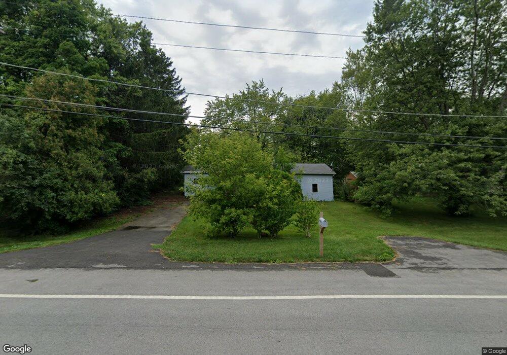
43410 N Kenosha Rd Zion, IL 60099
West Zion NeighborhoodEstimated Value: $250,000 - $473,140
2
Beds
1
Bath
968
Sq Ft
$354/Sq Ft
Est. Value
About This Home
This home is located at 43410 N Kenosha Rd, Zion, IL 60099 and is currently estimated at $342,535, approximately $353 per square foot. 43410 N Kenosha Rd is a home located in Lake County with nearby schools including Newport Elementary School, Beach Park Middle School, and Zion-Benton Township High School.
Ownership History
Date
Name
Owned For
Owner Type
Purchase Details
Closed on
Feb 11, 2025
Sold by
Zion Landfill Inc
Bought by
County Of Lake
Current Estimated Value
Purchase Details
Closed on
Jul 26, 2019
Sold by
Enright William S and Banks Shawn
Bought by
Advanced Disposal Svcs Zion Landfill Inc
Purchase Details
Closed on
Jun 22, 2018
Sold by
Enright William S and Banks Shawn
Bought by
Enright William S and Banks Shawn
Create a Home Valuation Report for This Property
The Home Valuation Report is an in-depth analysis detailing your home's value as well as a comparison with similar homes in the area
Home Values in the Area
Average Home Value in this Area
Purchase History
| Date | Buyer | Sale Price | Title Company |
|---|---|---|---|
| County Of Lake | $11,000 | Wheatland Title | |
| Advanced Disposal Svcs Zion Landfill Inc | $250,000 | First American Title | |
| Enright William S | -- | None Available |
Source: Public Records
Tax History Compared to Growth
Tax History
| Year | Tax Paid | Tax Assessment Tax Assessment Total Assessment is a certain percentage of the fair market value that is determined by local assessors to be the total taxable value of land and additions on the property. | Land | Improvement |
|---|---|---|---|---|
| 2024 | $4,007 | $28,470 | $14,596 | $13,874 |
| 2023 | $4,007 | $40,876 | $14,090 | $26,786 |
| 2022 | $3,792 | $38,069 | $13,782 | $24,287 |
| 2021 | $3,918 | $37,100 | $13,431 | $23,669 |
| 2020 | $3,845 | $35,404 | $12,817 | $22,587 |
| 2019 | $3,853 | $33,590 | $12,160 | $21,430 |
| 2018 | $4,025 | $39,556 | $14,679 | $24,877 |
| 2017 | $3,941 | $37,212 | $13,809 | $23,403 |
| 2016 | $3,818 | $35,426 | $13,146 | $22,280 |
| 2015 | $3,665 | $32,489 | $12,056 | $20,433 |
| 2014 | $1,992 | $21,228 | $6,841 | $14,387 |
| 2012 | $2,065 | $22,060 | $7,109 | $14,951 |
Source: Public Records
Map
Nearby Homes
- 210 Oak Ln
- Lt0 128th St
- 43100 N Lewis Ave
- 42908 N Lewis Ave
- 11279 W Russell Rd
- Lt0 39th Ave
- 432 Megan Place
- 436 Megan Place
- 429 Megan Place
- 43411 Lynn Dale Dr
- 3903 9th St
- 0 9th St
- 12122 28th Ave
- 908 Countrywood Dr
- Lt5 113th St
- 12111 28th Ave
- Lt6 113th St
- 1210 Lorelei Dr
- Lt19 Cedar Ridge Ct
- Lt3 113th St
- 43378 N Kenosha Rd
- 43432 N Kenosha Rd
- 43364 N Kenosha Rd
- 43346 N Kenosha Rd
- 11971 W Russell Rd
- 200 Prairie Ave
- 43451 N Kenosha Rd
- 43320 N Kenosha Rd
- 210 Prairie Ave
- 201 Oak Ln
- 43296 N Kenosha Rd
- 11833 W Russell Rd
- 43264 N Kenosha Rd
- 202 Oak Ln
- 220 Prairie Ave
- 205 Oak Ln
- 205 W Oak Ln
- 11787 W Russell Rd
- 43228 N Kenosha Rd
- 206 W Oak Ln