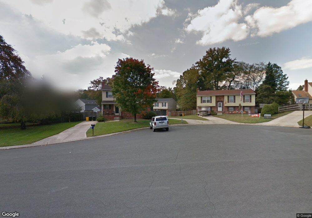
436 Mali Ct Millersville, MD 21108
Estimated Value: $391,635 - $481,000
--
Bed
2
Baths
1,108
Sq Ft
$406/Sq Ft
Est. Value
About This Home
This home is located at 436 Mali Ct, Millersville, MD 21108 and is currently estimated at $449,409, approximately $405 per square foot. 436 Mali Ct is a home located in Anne Arundel County with nearby schools including Rippling Woods Elementary School, Old Mill Middle School North, and Old Mill High School.
Ownership History
Date
Name
Owned For
Owner Type
Purchase Details
Closed on
Oct 24, 1995
Sold by
Dempsey Robert E
Bought by
Wilson Odell W
Current Estimated Value
Home Financials for this Owner
Home Financials are based on the most recent Mortgage that was taken out on this home.
Original Mortgage
$146,550
Outstanding Balance
$1,028
Interest Rate
7.6%
Estimated Equity
$448,381
Purchase Details
Closed on
Sep 18, 1989
Sold by
Midgett Carroll E
Bought by
Dempsey Robert E
Home Financials for this Owner
Home Financials are based on the most recent Mortgage that was taken out on this home.
Original Mortgage
$103,900
Interest Rate
10.05%
Create a Home Valuation Report for This Property
The Home Valuation Report is an in-depth analysis detailing your home's value as well as a comparison with similar homes in the area
Home Values in the Area
Average Home Value in this Area
Purchase History
| Date | Buyer | Sale Price | Title Company |
|---|---|---|---|
| Wilson Odell W | $143,700 | -- | |
| Dempsey Robert E | $129,900 | -- |
Source: Public Records
Mortgage History
| Date | Status | Borrower | Loan Amount |
|---|---|---|---|
| Open | Wilson Odell W | $146,550 | |
| Previous Owner | Dempsey Robert E | $103,900 |
Source: Public Records
Tax History Compared to Growth
Tax History
| Year | Tax Paid | Tax Assessment Tax Assessment Total Assessment is a certain percentage of the fair market value that is determined by local assessors to be the total taxable value of land and additions on the property. | Land | Improvement |
|---|---|---|---|---|
| 2025 | $3,158 | $373,033 | -- | -- |
| 2024 | $3,158 | $355,800 | $200,700 | $155,100 |
| 2023 | $3,069 | $347,733 | $0 | $0 |
| 2022 | $2,870 | $339,667 | $0 | $0 |
| 2021 | $5,641 | $331,600 | $175,700 | $155,900 |
| 2020 | $2,720 | $314,200 | $0 | $0 |
| 2019 | $2,664 | $296,800 | $0 | $0 |
| 2018 | $2,833 | $279,400 | $133,300 | $146,100 |
| 2017 | $2,505 | $275,867 | $0 | $0 |
| 2016 | -- | $272,333 | $0 | $0 |
| 2015 | -- | $268,800 | $0 | $0 |
| 2014 | -- | $267,567 | $0 | $0 |
Source: Public Records
Map
Nearby Homes
- 518 Kenora Dr
- 8218 Sherbrooke Ct
- 429 Hardmoore Ct
- 248 Michele Cir
- 494 Kenilworth Ct
- 266 Nathan Way
- 258 Nathan Way
- 462 Aventura Ct
- 525 Old Mill Rd
- 326 Eagles Ridge Way
- 8224 Bernard Dr N
- 529 Chalet Dr W
- 268 Glenda Ct
- 2664 Carver Rd
- 8421 Norwood Dr
- 565 Belmawr Place
- 8251 Rupert Rd S
- 8253 Rupert Rd S
- 8333 Kippis Rd
- 460 Marianna Dr
- 434 Mali Ct
- 438 Mali Ct
- 435 Williamstowne Ct
- 8344 Williamstowne Dr
- 8346 Williamstowne Dr
- 433 Williamstowne Ct
- 440 Mali Ct
- 8348 Williamstowne Dr
- 432 Mali Ct
- 442 Mali Ct
- 431 Williamstowne Ct
- 437 Williamstowne Ct
- 8350 Williamstowne Dr
- 430 Mali Ct
- 439 Williamstowne Ct
- 430 Williamstowne Ct
- 441 Williamstowne Ct
- 429 Mali Ct
- 435 Mali Ct
- 433 Mali Ct