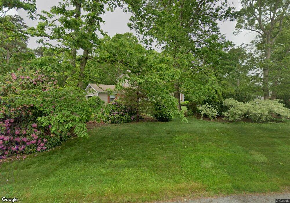
44 Kensington Dr Sandwich, MA 02563
Estimated Value: $639,000 - $760,000
3
Beds
3
Baths
2,080
Sq Ft
$330/Sq Ft
Est. Value
About This Home
This home is located at 44 Kensington Dr, Sandwich, MA 02563 and is currently estimated at $686,365, approximately $329 per square foot. 44 Kensington Dr is a home located in Barnstable County with nearby schools including Sandwich Middle High School, Montessori School of Sandwich, and Riverview School.
Ownership History
Date
Name
Owned For
Owner Type
Purchase Details
Closed on
Jan 28, 2019
Sold by
Stjames Rand G and Stjames Anna M
Bought by
Stjames Ret
Current Estimated Value
Purchase Details
Closed on
Apr 22, 1991
Sold by
Then Carol Yates
Bought by
St James Rand G and Stjames Anna M
Home Financials for this Owner
Home Financials are based on the most recent Mortgage that was taken out on this home.
Original Mortgage
$74,000
Interest Rate
9.4%
Mortgage Type
Purchase Money Mortgage
Create a Home Valuation Report for This Property
The Home Valuation Report is an in-depth analysis detailing your home's value as well as a comparison with similar homes in the area
Home Values in the Area
Average Home Value in this Area
Purchase History
| Date | Buyer | Sale Price | Title Company |
|---|---|---|---|
| Stjames Ret | -- | -- | |
| St James Rand G | $136,500 | -- |
Source: Public Records
Mortgage History
| Date | Status | Borrower | Loan Amount |
|---|---|---|---|
| Previous Owner | St James Rand G | $74,000 |
Source: Public Records
Tax History Compared to Growth
Tax History
| Year | Tax Paid | Tax Assessment Tax Assessment Total Assessment is a certain percentage of the fair market value that is determined by local assessors to be the total taxable value of land and additions on the property. | Land | Improvement |
|---|---|---|---|---|
| 2025 | $6,511 | $616,000 | $220,300 | $395,700 |
| 2024 | $6,219 | $575,800 | $196,800 | $379,000 |
| 2023 | $6,073 | $528,100 | $178,900 | $349,200 |
| 2022 | $5,808 | $441,300 | $159,700 | $281,600 |
| 2021 | $5,562 | $403,900 | $153,500 | $250,400 |
| 2020 | $5,501 | $384,400 | $150,000 | $234,400 |
| 2019 | $5,250 | $366,600 | $147,200 | $219,400 |
| 2018 | $5,476 | $346,300 | $142,200 | $204,100 |
| 2017 | $4,897 | $328,000 | $137,600 | $190,400 |
| 2016 | $4,656 | $321,800 | $136,200 | $185,600 |
| 2015 | $4,517 | $304,800 | $122,700 | $182,100 |
Source: Public Records
Map
Nearby Homes
- 186 Quaker Meeting House Rd
- 52 Windsor Rd
- 296 Cotuit Rd
- 193 Farmersville Rd
- 376 Route 6a Unit 17
- 6 Woodvue Cir
- 9 Bramble Bush Dr
- 8 Peters Pond Dr
- 58 Southpoint Dr Unit J
- 185 Cotuit Rd Unit BE4
- 185 Cotuit Rd Unit JP1
- 185 Cotuit Rd Unit MA 5
- 86 Greenville Dr
- 163 Cotuit Rd
- 17 Southpoint Dr Unit 17
- 17 Southpoint Dr Unit 17C
- 363 Service Rd
- 34 Southpoint Dr
- 9 Crestview Drive Extension
- 5 Whiffletree Cir
- 12 Carver Dr
- 45 Kensington Dr
- 46 Kensington Dr
- 42 Kensington Dr
- 185 Quaker Meeting House Rd
- 11 Carver Dr
- 47 Kensington Dr
- 10 Carver Dr
- 183 Quaker Meetinghouse Rd
- 43 Kensington Dr
- 9 Carver Dr
- 183 Quaker Meeting
- 183 Quaker Meeting House Rd
- 183 Quaker Meetinghouse House Rd
- 183 Quaker Meeting House Rd
- 195 Quaker Meeting House Rd
- 195 Quaker Meetinghouse Rd
- 181 Quaker Meeting House Rd
- 181 Quaker Meetinghouse Rd
- 8 Carver Dr