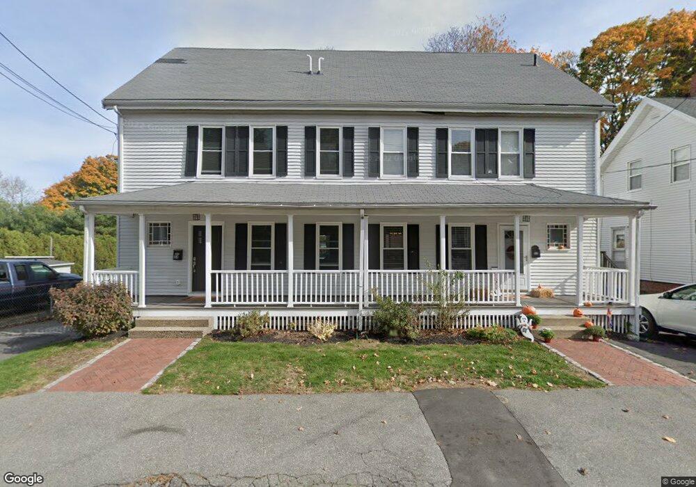
44 Lake St Unit 44A Wakefield, MA 01880
West Side NeighborhoodEstimated Value: $847,000
6
Beds
2
Baths
2,688
Sq Ft
$315/Sq Ft
Est. Value
About This Home
This home is located at 44 Lake St Unit 44A, Wakefield, MA 01880 and is currently priced at $847,000, approximately $315 per square foot. 44 Lake St Unit 44A is a home located in Middlesex County with nearby schools including Wakefield Memorial High School, St Joseph School, and St. Patrick Elementary School.
Ownership History
Date
Name
Owned For
Owner Type
Purchase Details
Closed on
Jul 31, 2006
Sold by
Allen Leonard P and Allen Sally J
Bought by
Curran Colleen and Curran Courtney
Current Estimated Value
Home Financials for this Owner
Home Financials are based on the most recent Mortgage that was taken out on this home.
Original Mortgage
$376,000
Outstanding Balance
$224,639
Interest Rate
6.67%
Mortgage Type
Purchase Money Mortgage
Purchase Details
Closed on
Nov 16, 1989
Sold by
Cassidy Paul F
Bought by
Doyle Jonathan F
Home Financials for this Owner
Home Financials are based on the most recent Mortgage that was taken out on this home.
Original Mortgage
$198,000
Interest Rate
9.97%
Mortgage Type
Purchase Money Mortgage
Purchase Details
Closed on
Dec 29, 1987
Sold by
Colantuonio Philip
Bought by
Cassidy Paul F
Create a Home Valuation Report for This Property
The Home Valuation Report is an in-depth analysis detailing your home's value as well as a comparison with similar homes in the area
Home Values in the Area
Average Home Value in this Area
Purchase History
| Date | Buyer | Sale Price | Title Company |
|---|---|---|---|
| Curran Colleen | $470,000 | -- | |
| Doyle Jonathan F | $220,000 | -- | |
| Doyle Jonathan F | $220,000 | -- | |
| Cassidy Paul F | $165,000 | -- |
Source: Public Records
Mortgage History
| Date | Status | Borrower | Loan Amount |
|---|---|---|---|
| Open | Curran Colleen | $376,000 | |
| Previous Owner | Cassidy Paul F | $190,000 | |
| Previous Owner | Cassidy Paul F | $194,500 | |
| Previous Owner | Cassidy Paul F | $198,000 |
Source: Public Records
Tax History Compared to Growth
Tax History
| Year | Tax Paid | Tax Assessment Tax Assessment Total Assessment is a certain percentage of the fair market value that is determined by local assessors to be the total taxable value of land and additions on the property. | Land | Improvement |
|---|---|---|---|---|
| 2021 | $8,394 | $659,400 | $282,300 | $377,100 |
| 2020 | $7,871 | $616,400 | $263,900 | $352,500 |
| 2019 | $7,520 | $586,100 | $250,900 | $335,200 |
| 2018 | $7,002 | $540,700 | $231,400 | $309,300 |
| 2017 | $6,585 | $505,400 | $216,300 | $289,100 |
| 2016 | $5,999 | $444,700 | $204,600 | $240,100 |
| 2015 | $5,601 | $415,500 | $191,200 | $224,300 |
| 2014 | $5,107 | $399,600 | $183,900 | $215,700 |
Source: Public Records
Map
Nearby Homes
- 69 Foundry St Unit 416
- 69 Foundry St Unit 310
- 62 Foundry St Unit 310
- 62 Foundry St Unit 312
- 62 Foundry St Unit 506
- 62 Foundry St Unit 202
- 62 Foundry St Unit 208
- 62 Foundry St Unit 414
- 62 Foundry St Unit 406
- 62 Foundry St Unit 313
- Unit 208 Plan at Wrenly
- Unit 310 Plan at Wrenly
- 5 Byron St
- 50 Albion St
- 6 Avon Ct Unit 2
- 10 Converse St
- 38 Bennett St Unit 3D
- 22 Jefferson Rd
- 34 Cedar St
- 9 Avon St Unit 2