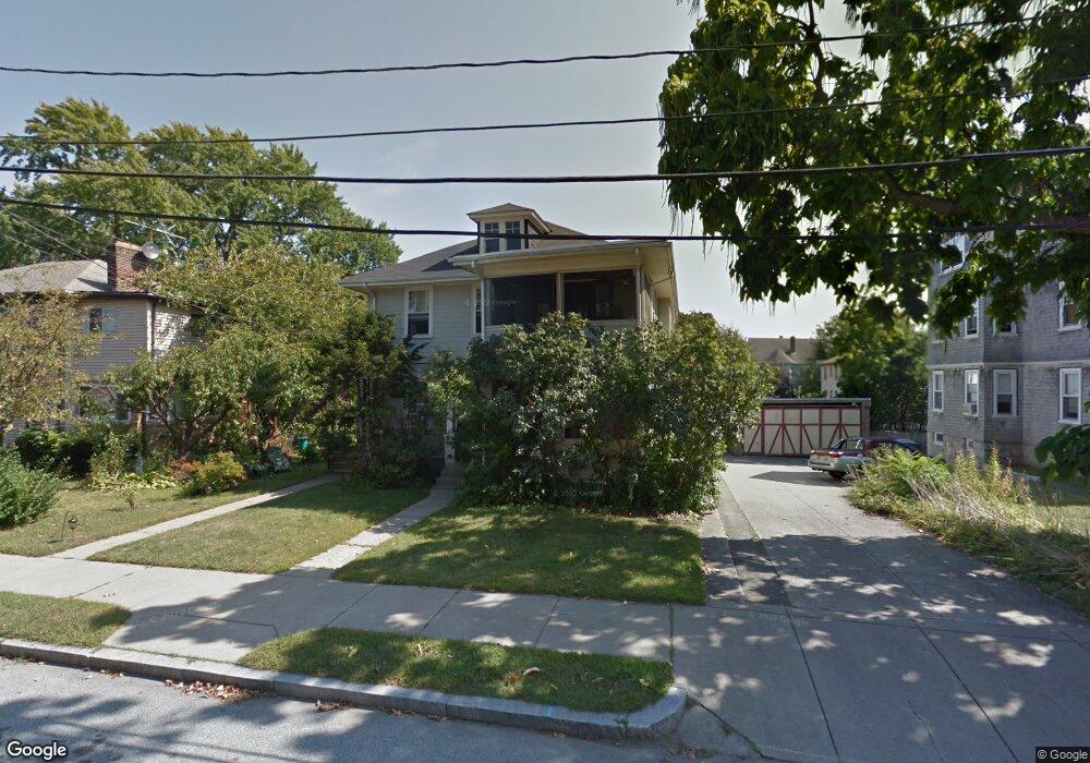
44 Lothrop St Unit 46 Newtonville, MA 02460
Nonantum NeighborhoodEstimated Value: $1,150,000 - $1,502,000
6
Beds
3
Baths
2,692
Sq Ft
$497/Sq Ft
Est. Value
About This Home
This home is located at 44 Lothrop St Unit 46, Newtonville, MA 02460 and is currently estimated at $1,337,469, approximately $496 per square foot. 44 Lothrop St Unit 46 is a home located in Middlesex County with nearby schools including Horace Mann Elementary School, Lincoln-Eliot Elementary School, and F.A. Day Middle School.
Ownership History
Date
Name
Owned For
Owner Type
Purchase Details
Closed on
Feb 15, 2023
Sold by
Lennon Gail C and Lennon Mark H
Bought by
Lennon Ret and Lennon
Current Estimated Value
Purchase Details
Closed on
Jan 31, 2022
Sold by
Collins Edmund T and Collins Jean M
Bought by
Lennon Mark H and Lennon Gail C
Home Financials for this Owner
Home Financials are based on the most recent Mortgage that was taken out on this home.
Original Mortgage
$636,000
Interest Rate
3.45%
Mortgage Type
Purchase Money Mortgage
Create a Home Valuation Report for This Property
The Home Valuation Report is an in-depth analysis detailing your home's value as well as a comparison with similar homes in the area
Home Values in the Area
Average Home Value in this Area
Purchase History
| Date | Buyer | Sale Price | Title Company |
|---|---|---|---|
| Lennon Ret | -- | None Available | |
| Lennon Mark H | $475,000 | None Available |
Source: Public Records
Mortgage History
| Date | Status | Borrower | Loan Amount |
|---|---|---|---|
| Previous Owner | Lennon Mark H | $636,000 |
Source: Public Records
Tax History Compared to Growth
Tax History
| Year | Tax Paid | Tax Assessment Tax Assessment Total Assessment is a certain percentage of the fair market value that is determined by local assessors to be the total taxable value of land and additions on the property. | Land | Improvement |
|---|---|---|---|---|
| 2025 | $10,156 | $1,036,300 | $641,000 | $395,300 |
| 2024 | $9,820 | $1,006,100 | $622,300 | $383,800 |
| 2023 | $9,417 | $925,000 | $493,600 | $431,400 |
| 2022 | $9,010 | $856,500 | $457,000 | $399,500 |
| 2021 | $8,426 | $783,100 | $419,300 | $363,800 |
| 2020 | $8,176 | $783,100 | $419,300 | $363,800 |
| 2019 | $7,648 | $731,900 | $391,900 | $340,000 |
| 2018 | $7,589 | $701,400 | $367,900 | $333,500 |
| 2017 | $7,156 | $643,500 | $337,500 | $306,000 |
| 2016 | $6,719 | $590,400 | $309,600 | $280,800 |
| 2015 | $6,406 | $551,800 | $289,300 | $262,500 |
Source: Public Records
Map
Nearby Homes
- 49 Hawthorn St
- 3 Ashmont Ave
- 42-44 Judkins St
- 22-24 Emerald St
- 11 Murphy Ct
- 188-190 Adams St
- 158 Adams St
- 53 West St
- 34 West St Unit A
- 86 West St
- 77 Court St Unit 205
- 286 Nevada St Unit 286
- 282 Nevada St Unit 282
- 12-14 Middle St
- 168 Walnut St
- 290 Watertown St Unit 3
- 290 Watertown St Unit 4
- 191 Linwood Ave
- 324 Adams St Unit 2
- 611 Watertown St Unit 14
- 38 Lothrop St
- 50 Lothrop St
- 50 Lothrop St Unit 1
- 54 Lothrop St Unit 56
- 47 Ashmont Ave Unit 49
- 54-56 Lothrop St
- 56 Lothrop St Unit 56
- 34 Lothrop St Unit 36
- 5 Jenison St
- 45 Ashmont Ave
- 111 Crafts St Unit 113
- 111 Crafts St Unit 111
- 111-113 Crafts St Unit 113
- 65 Ashmont Ave Unit 67
- 58 Lothrop St Unit 60
- 55 Lothrop St Unit 55
- 55 Lothrop St Unit 1
- 4 Jenison St
- 35 Lothrop St
- 33 Lothrop St