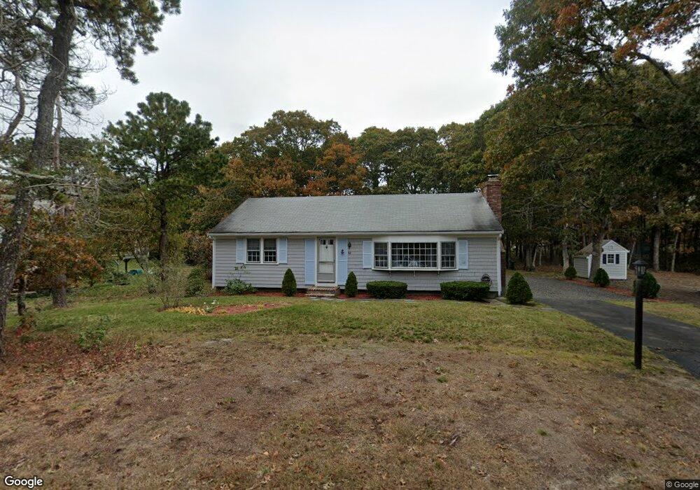
44 Uncle Stanleys Way South Dennis, MA 02660
South Dennis NeighborhoodEstimated Value: $477,000 - $529,000
2
Beds
1
Bath
1,008
Sq Ft
$507/Sq Ft
Est. Value
About This Home
This home is located at 44 Uncle Stanleys Way, South Dennis, MA 02660 and is currently estimated at $510,708, approximately $506 per square foot. 44 Uncle Stanleys Way is a home located in Barnstable County with nearby schools including Dennis-Yarmouth Regional High School.
Ownership History
Date
Name
Owned For
Owner Type
Purchase Details
Closed on
Jan 20, 1995
Sold by
Turner Eleanor P
Bought by
Puntonio Jerry J
Current Estimated Value
Home Financials for this Owner
Home Financials are based on the most recent Mortgage that was taken out on this home.
Original Mortgage
$34,500
Interest Rate
9.16%
Mortgage Type
Purchase Money Mortgage
Create a Home Valuation Report for This Property
The Home Valuation Report is an in-depth analysis detailing your home's value as well as a comparison with similar homes in the area
Home Values in the Area
Average Home Value in this Area
Purchase History
| Date | Buyer | Sale Price | Title Company |
|---|---|---|---|
| Puntonio Jerry J | $89,500 | -- |
Source: Public Records
Mortgage History
| Date | Status | Borrower | Loan Amount |
|---|---|---|---|
| Closed | Puntonio Jerry J | $34,500 |
Source: Public Records
Tax History Compared to Growth
Tax History
| Year | Tax Paid | Tax Assessment Tax Assessment Total Assessment is a certain percentage of the fair market value that is determined by local assessors to be the total taxable value of land and additions on the property. | Land | Improvement |
|---|---|---|---|---|
| 2025 | $1,930 | $445,700 | $132,200 | $313,500 |
| 2024 | $1,808 | $411,900 | $127,200 | $284,700 |
| 2023 | $1,748 | $374,400 | $115,600 | $258,800 |
| 2022 | $1,725 | $308,000 | $115,700 | $192,300 |
| 2021 | $1,642 | $272,300 | $113,400 | $158,900 |
| 2020 | $1,571 | $257,500 | $113,400 | $144,100 |
| 2019 | $0 | $250,300 | $122,300 | $128,000 |
| 2018 | $0 | $220,700 | $105,900 | $114,800 |
| 2017 | $1,335 | $217,000 | $105,900 | $111,100 |
| 2016 | $1,234 | $188,900 | $111,200 | $77,700 |
| 2015 | $1,209 | $188,900 | $111,200 | $77,700 |
| 2014 | $1,218 | $191,800 | $95,300 | $96,500 |
Source: Public Records
Map
Nearby Homes
- 15 Captain Jud Rd
- 11 Uncle Stanleys Way
- 153 Bayridge Dr
- 17 Margate Ln
- 4 Ebb Rd
- 13 Covey Dr
- 10 Joanne Dr
- 17 Fairmount Rd
- 17 Fairmount Rd
- 118 Driftwood Ln
- 25 Skerry Rd
- 32 Captain Walsh Dr
- 7 Vinland Dr
- 111 Merchant Ave
- 129 Driftwood Ln
- 1 Norseman Dr
- 6 Nimble Hill Dr
- 59 Main St Unit 19-2
- 59 Route 6a Unit 29-4
- 59 Massachusetts 6a Unit 19-2
- 44 Uncle Stanleys Way
- 54 Uncle Stanley's
- 40 Uncle Stanleys Way
- 50-A Uncle Stanleys Way
- 50 Uncle Stanley's Way
- 50 Uncle Stanleys Way
- 47 Uncle Stanley's Way
- 47 Uncle Stanleys Way
- 41 Uncle Stanleys Way
- 51 Hazelwood Rd
- 47 Hazelwood Rd
- 55 Hazelwood Rd
- 37 Uncle Stanleys Way
- 34 Uncle Stanleys Way
- 43 Hazelwood Rd
- 51 Uncle Stanleys Way
- 44 Uncle Stanley
- 48 Uncle Bobs Way
- 44 Uncle Bobs Way
- 59 Hazelwood Rd