440 Knottwood Ct Arnold, MD 21012
Estimated Value: $384,815 - $414,000
--
Bed
3
Baths
1,340
Sq Ft
$301/Sq Ft
Est. Value
About This Home
This home is located at 440 Knottwood Ct, Arnold, MD 21012 and is currently estimated at $403,954, approximately $301 per square foot. 440 Knottwood Ct is a home located in Anne Arundel County with nearby schools including Broadneck Elementary School, Magothy River Middle School, and Broadneck High School.
Ownership History
Date
Name
Owned For
Owner Type
Purchase Details
Closed on
Jan 25, 2007
Sold by
Harris Deborah B
Bought by
Harris Deborah B
Current Estimated Value
Purchase Details
Closed on
Jan 24, 2007
Sold by
Harris Deborah B
Bought by
Harris Deborah B
Purchase Details
Closed on
Aug 12, 2005
Sold by
Simmons Richard A
Bought by
Harris Deborah B
Purchase Details
Closed on
Jan 17, 2001
Sold by
Simmons Richard A
Bought by
Simmons Richard A and Simmons Robin D
Purchase Details
Closed on
Jan 5, 1995
Sold by
Kimberly Woods Associates
Bought by
Simmons Richard A
Home Financials for this Owner
Home Financials are based on the most recent Mortgage that was taken out on this home.
Original Mortgage
$103,150
Interest Rate
9.23%
Create a Home Valuation Report for This Property
The Home Valuation Report is an in-depth analysis detailing your home's value as well as a comparison with similar homes in the area
Home Values in the Area
Average Home Value in this Area
Purchase History
| Date | Buyer | Sale Price | Title Company |
|---|---|---|---|
| Harris Deborah B | -- | -- | |
| Harris Deborah B | -- | -- | |
| Harris Deborah B | $268,000 | -- | |
| Simmons Richard A | -- | -- | |
| Simmons Richard A | $106,390 | -- |
Source: Public Records
Mortgage History
| Date | Status | Borrower | Loan Amount |
|---|---|---|---|
| Previous Owner | Simmons Richard A | $103,150 |
Source: Public Records
Tax History Compared to Growth
Tax History
| Year | Tax Paid | Tax Assessment Tax Assessment Total Assessment is a certain percentage of the fair market value that is determined by local assessors to be the total taxable value of land and additions on the property. | Land | Improvement |
|---|---|---|---|---|
| 2025 | $2,807 | $261,800 | -- | -- |
| 2024 | $2,807 | $239,200 | $115,000 | $124,200 |
| 2023 | $2,732 | $237,333 | $0 | $0 |
| 2022 | $2,461 | $235,467 | $0 | $0 |
| 2021 | $2,425 | $233,600 | $115,000 | $118,600 |
| 2020 | $2,425 | $224,600 | $0 | $0 |
| 2019 | $2,095 | $215,600 | $0 | $0 |
| 2018 | $2,095 | $206,600 | $90,000 | $116,600 |
| 2017 | $2,229 | $206,600 | $0 | $0 |
| 2016 | -- | $206,600 | $0 | $0 |
| 2015 | -- | $218,400 | $0 | $0 |
| 2014 | -- | $213,733 | $0 | $0 |
Source: Public Records
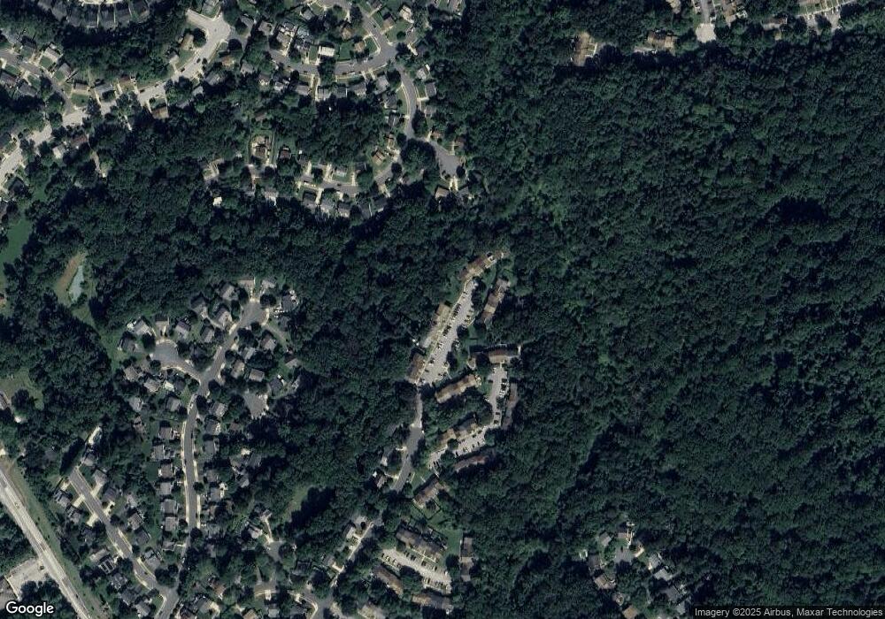
Map
Nearby Homes
- 303 Ternwing Dr
- 1215 Driftwood Ct
- 516 Norton Ln
- 1217 Springwood Ct
- 1078 Brightleaf Ct
- 507 Greenblades Ct
- 1256 Crowell Ct
- 923 Whitstable Blvd
- 1182 Palmwood Ct
- 1180 Mosswood Ct
- 400 Colonial Ridge Ln
- 1205 Farley Ct N
- 515 Bay Hills Dr
- 33 Sheridan Rd
- 493 Colonial Ridge Ln
- 404 Alameda Pkwy
- 349 Candle Ridge Ct
- Severn Plan at Ford's Grant
- Newport Plan at Ford's Grant
- Magothy Plan at Ford's Grant
- 438 Knottwood Ct
- 442 Knottwood Ct
- 436 Knottwood Ct
- 434 Knottwood Ct
- 432 Knottwood Ct
- 430 Knottwood Ct
- 428 Knottwood Ct
- 446 Knottwood Ct
- 426 Knottwood Ct
- 426 Knottwood Ct Unit 170
- 448 Knottwood Ct
- 441 Knottwood Ct
- 1239 Birchcrest Ct
- 443 Knottwood Ct
- 424 Knottwood Ct
- 450 Knottwood Ct
- 445 Knottwood Ct
- 447 Knottwood Ct
- 422 Knottwood Ct
- 452 Knottwood Ct