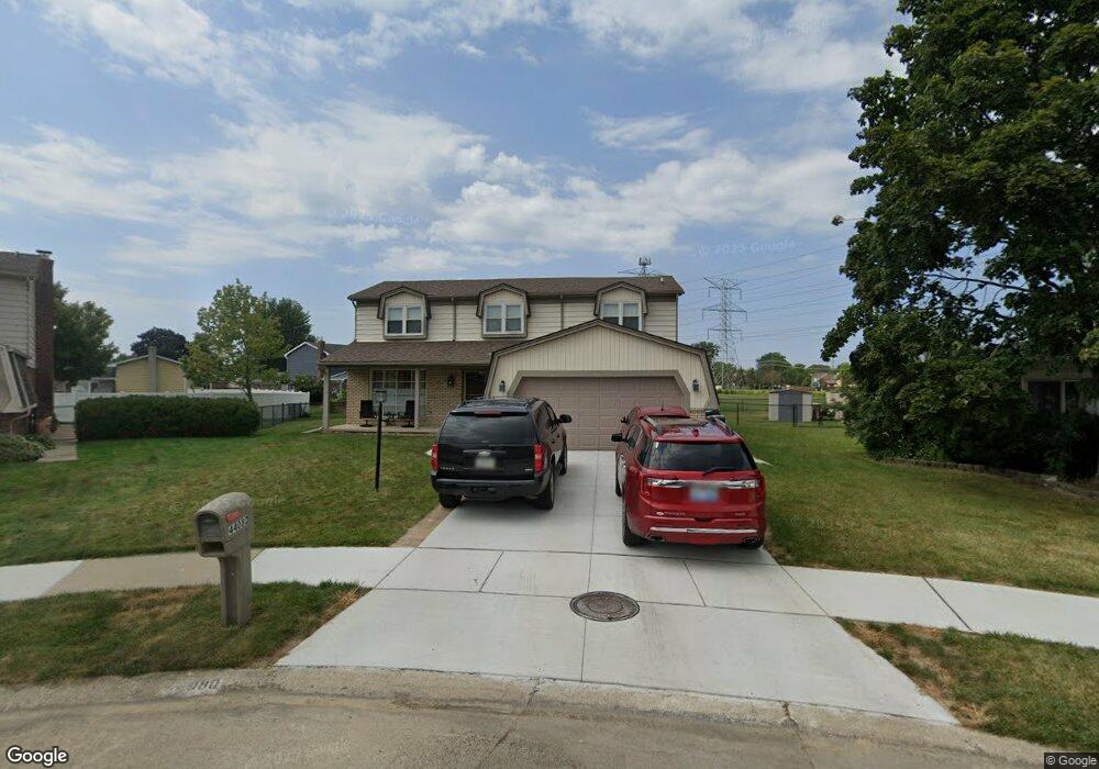
44080 Palisades Dr Canton, MI 48187
Estimated Value: $382,906 - $428,000
--
Bed
3
Baths
2,171
Sq Ft
$189/Sq Ft
Est. Value
About This Home
This home is located at 44080 Palisades Dr, Canton, MI 48187 and is currently estimated at $409,477, approximately $188 per square foot. 44080 Palisades Dr is a home located in Wayne County with nearby schools including Canton High School, Discovery Middle School, and Salem High School.
Ownership History
Date
Name
Owned For
Owner Type
Purchase Details
Closed on
Jun 24, 2013
Sold by
Lane Richard G and Lane Danette
Bought by
Lane Richard G
Current Estimated Value
Home Financials for this Owner
Home Financials are based on the most recent Mortgage that was taken out on this home.
Original Mortgage
$165,995
Interest Rate
3.83%
Mortgage Type
New Conventional
Create a Home Valuation Report for This Property
The Home Valuation Report is an in-depth analysis detailing your home's value as well as a comparison with similar homes in the area
Home Values in the Area
Average Home Value in this Area
Purchase History
| Date | Buyer | Sale Price | Title Company |
|---|---|---|---|
| Lane Richard G | -- | Lsi |
Source: Public Records
Mortgage History
| Date | Status | Borrower | Loan Amount |
|---|---|---|---|
| Closed | Lane Richard G | $165,995 |
Source: Public Records
Tax History Compared to Growth
Tax History
| Year | Tax Paid | Tax Assessment Tax Assessment Total Assessment is a certain percentage of the fair market value that is determined by local assessors to be the total taxable value of land and additions on the property. | Land | Improvement |
|---|---|---|---|---|
| 2025 | $1,753 | $192,700 | $0 | $0 |
| 2024 | $1,753 | $174,600 | $0 | $0 |
| 2023 | $1,672 | $156,500 | $0 | $0 |
| 2022 | $3,706 | $137,300 | $0 | $0 |
| 2021 | $2,052 | $135,800 | $0 | $0 |
| 2020 | $3,549 | $129,600 | $0 | $0 |
| 2019 | $3,484 | $119,100 | $0 | $0 |
| 2018 | $1,421 | $108,510 | $0 | $0 |
| 2017 | $3,593 | $107,200 | $0 | $0 |
| 2016 | $3,175 | $109,700 | $0 | $0 |
| 2015 | $7,807 | $98,340 | $0 | $0 |
| 2013 | $7,856 | $78,560 | $0 | $0 |
| 2010 | -- | $86,070 | $50,476 | $35,594 |
Source: Public Records
Map
Nearby Homes
- 44150 Duchess Dr
- 437 Corinne Blvd
- 278 Cornell St
- 44893 Fair Oaks Dr
- 227 Edington Cir
- 1322 Saltz Ct
- 288 Edington Cir Unit 61
- 45030 Glengarry Rd
- 1822 N Sheldon Rd
- 1710 Longfellow Dr
- 5887 Northford
- 603 Concord Dr Unit 67
- 1926 Marlowe St
- 1494 Ranier Blvd
- 58560 Stuart Dr
- 42771 Lilley Pointe Dr Unit 154
- 44497 Savery Dr Unit 103
- 550 Concord Dr Unit 75
- 42789 Lilley Pointe Dr Unit 146
- 42697 Redfern St
- 44068 Palisades Dr
- 44270 Harsdale Dr
- 44079 Palisades Dr
- 44260 Harsdale Dr
- 44056 Palisades Dr
- 44260 Harsdale Ct
- 44280 Harsdale Ct
- 44280 Harsdale Dr
- 44270 Harsdale Ct
- 44067 Palisades Dr
- 44044 Palisades Dr
- 44250 Harsdale Dr
- 44055 Palisades Dr
- 44250 Harsdale Ct
- 44290 Harsdale Dr
- 44043 Palisades Dr
- 44032 Palisades Dr
- 44216 Harsdale Dr
- 44226 Harsdale Dr
- 44202 Harsdale Dr