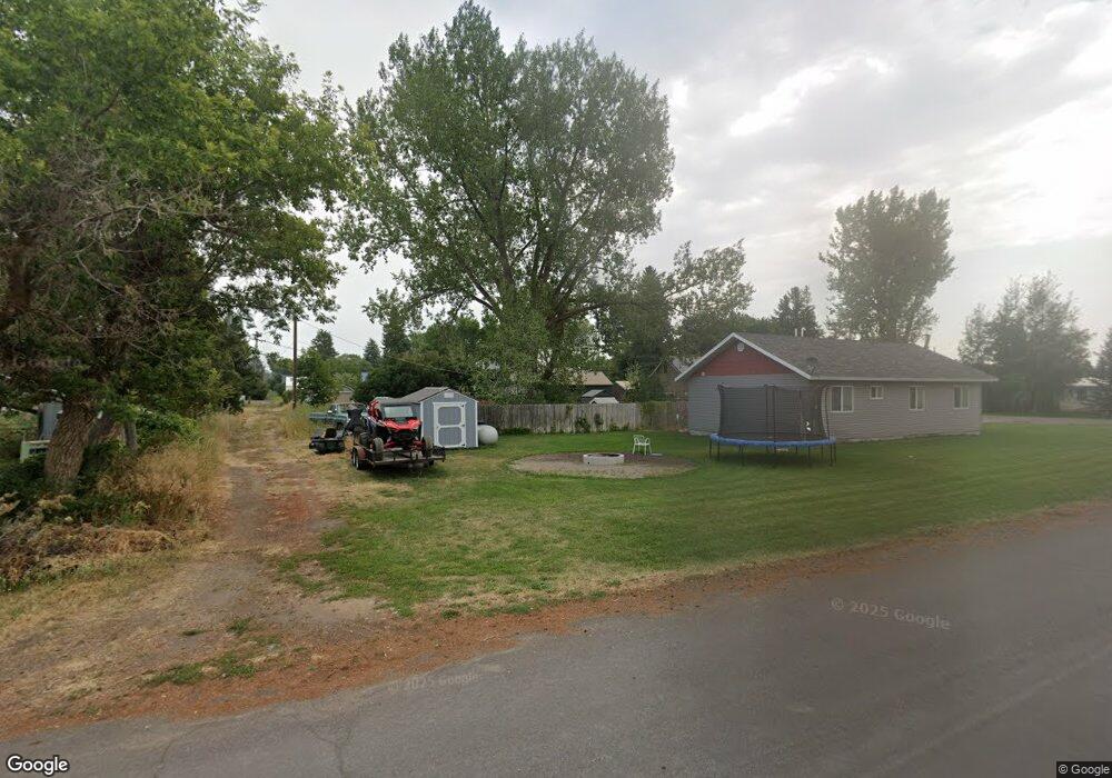
441 Highland St Ashton, ID 83420
Estimated Value: $176,000 - $267,000
2
Beds
1
Bath
1,091
Sq Ft
$200/Sq Ft
Est. Value
About This Home
This home is located at 441 Highland St, Ashton, ID 83420 and is currently estimated at $218,163, approximately $199 per square foot. 441 Highland St is a home with nearby schools including Ashton Elementary School and North Fremont Junior/Senior High School.
Ownership History
Date
Name
Owned For
Owner Type
Purchase Details
Closed on
Feb 16, 2010
Sold by
Bergman Eileen K and Estate Of Gerald Kent And Hele
Bought by
White Michael V
Current Estimated Value
Home Financials for this Owner
Home Financials are based on the most recent Mortgage that was taken out on this home.
Original Mortgage
$43,350
Outstanding Balance
$28,690
Interest Rate
5.03%
Mortgage Type
New Conventional
Estimated Equity
$189,473
Create a Home Valuation Report for This Property
The Home Valuation Report is an in-depth analysis detailing your home's value as well as a comparison with similar homes in the area
Home Values in the Area
Average Home Value in this Area
Purchase History
| Date | Buyer | Sale Price | Title Company |
|---|---|---|---|
| White Michael V | -- | -- |
Source: Public Records
Mortgage History
| Date | Status | Borrower | Loan Amount |
|---|---|---|---|
| Open | White Michael V | $43,350 |
Source: Public Records
Tax History Compared to Growth
Tax History
| Year | Tax Paid | Tax Assessment Tax Assessment Total Assessment is a certain percentage of the fair market value that is determined by local assessors to be the total taxable value of land and additions on the property. | Land | Improvement |
|---|---|---|---|---|
| 2025 | $782 | $71,455 | $15,050 | $56,405 |
| 2024 | $782 | $69,969 | $15,050 | $54,919 |
| 2023 | $524 | $69,969 | $15,050 | $54,919 |
| 2022 | $508 | $36,714 | $14,000 | $22,714 |
| 2021 | $534 | $30,110 | $12,250 | $17,860 |
| 2020 | $510 | $27,920 | $12,250 | $15,670 |
| 2019 | $500 | $27,920 | $12,250 | $15,670 |
| 2018 | $494 | $26,740 | $12,250 | $14,490 |
| 2017 | $5 | $24,366 | $11,883 | $12,483 |
| 2016 | $445 | $24,366 | $11,883 | $12,483 |
| 2015 | $440 | $48,735 | $0 | $0 |
| 2014 | $374 | $24,366 | $0 | $0 |
| 2013 | $374 | $24,366 | $0 | $0 |
Source: Public Records
Map
Nearby Homes
- 641 Fremont St
- 511 Id-47
- 1189 N Sunflower Ln
- 417 Main St
- 268 10th St
- L2 BLK 1 E 1300 Rd N
- LOTS 1-3 E 1300 Rd N
- 137 Spruce St
- 540 N 4th St Unit 4
- 540 N 4th St Unit 2
- 540 N 4th St Unit 3
- 3660 E 1312 N
- TBD Annies Landing
- 1413 U S 20
- 1331 N 3687 E
- 3706 E 1300 Rd N
- 3660 E 1100 N
- 3656 Fishermans Dr
- 1387 Cedar Lake Ln
- TBD Fishermans Dr