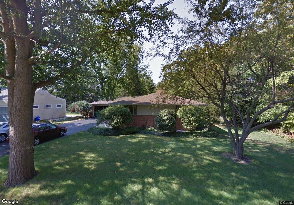
441 Lawndale Ave Woodstock, IL 60098
Estimated Value: $326,913 - $354,000
3
Beds
2
Baths
1,808
Sq Ft
$191/Sq Ft
Est. Value
About This Home
This home is located at 441 Lawndale Ave, Woodstock, IL 60098 and is currently estimated at $344,478, approximately $190 per square foot. 441 Lawndale Ave is a home located in McHenry County with nearby schools including Dean Street Elementary School, Creekside Middle School, and Woodstock High School.
Ownership History
Date
Name
Owned For
Owner Type
Purchase Details
Closed on
Nov 24, 2000
Sold by
Andrew Dan E and Andrew Lorena M
Bought by
Bock Raymond H and Bock Cynthia J
Current Estimated Value
Home Financials for this Owner
Home Financials are based on the most recent Mortgage that was taken out on this home.
Original Mortgage
$164,000
Outstanding Balance
$60,871
Interest Rate
7.8%
Estimated Equity
$283,607
Create a Home Valuation Report for This Property
The Home Valuation Report is an in-depth analysis detailing your home's value as well as a comparison with similar homes in the area
Home Values in the Area
Average Home Value in this Area
Purchase History
| Date | Buyer | Sale Price | Title Company |
|---|---|---|---|
| Bock Raymond H | $205,000 | Chicago Title Insurance Co |
Source: Public Records
Mortgage History
| Date | Status | Borrower | Loan Amount |
|---|---|---|---|
| Open | Bock Raymond H | $164,000 | |
| Closed | Bock Raymond H | $30,750 |
Source: Public Records
Tax History Compared to Growth
Tax History
| Year | Tax Paid | Tax Assessment Tax Assessment Total Assessment is a certain percentage of the fair market value that is determined by local assessors to be the total taxable value of land and additions on the property. | Land | Improvement |
|---|---|---|---|---|
| 2024 | $6,807 | $89,879 | $10,088 | $79,791 |
| 2023 | $6,386 | $81,280 | $9,123 | $72,157 |
| 2022 | $6,589 | $74,906 | $8,096 | $66,810 |
| 2021 | $6,225 | $69,986 | $7,564 | $62,422 |
| 2020 | $5,963 | $66,501 | $7,187 | $59,314 |
| 2019 | $5,757 | $63,479 | $6,860 | $56,619 |
| 2018 | $6,286 | $67,392 | $7,826 | $59,566 |
| 2017 | $6,132 | $63,428 | $7,366 | $56,062 |
| 2016 | $6,024 | $58,729 | $6,820 | $51,909 |
| 2013 | -- | $54,883 | $11,958 | $42,925 |
Source: Public Records
Map
Nearby Homes
- 601 S Jefferson St
- 434 Lake Ave
- 331 Chestnut St
- 330 Lake Ave
- 908 Bunker St
- 415 Dean St
- 9999 E Calhoun St
- 125 Forest Ave
- 104 Stewart Ave
- 200 E Judd St
- 722 E Calhoun St
- 1288 Prairie Ridge Trail
- 3848 Riverwoods Dr
- 3902 Riverwoods Dr
- 3842 Riverwoods Dr
- 3839 Riverwoods Dr
- Townsend Plan at Clublands of Antioch - Horizon Series
- Napa Plan at Clublands of Antioch - Andare Series
- 1249 Prairie Ridge Trail
- 3851 Riverwoods Dr
- 429 Lawndale Ave
- 449 Lawndale Ave
- 440 Lawndale Ave
- 457 Lawndale Ave
- 701 Lawndale Ave
- 434 Lawndale Ave
- 450 Fremont St
- 619 Lawndale Ave
- 428 Lawndale Ave
- 613 Lawndale Ave
- 454 Lawndale Ave
- 456 Fremont St
- 438 Fremont St
- 508 Fremont St
- 422 Lawndale Ave
- 607 Lawndale Ave
- 426 Lawndale Ave
- 435 Laurel Ave
- 518 Fremont St
- 511 Lawndale Ave