441 Misty Hilltop Moretown, VT 05660
Estimated Value: $1,053,000 - $1,987,000
5
Beds
5
Baths
7,915
Sq Ft
$194/Sq Ft
Est. Value
About This Home
This home is located at 441 Misty Hilltop, Moretown, VT 05660 and is currently estimated at $1,533,714, approximately $193 per square foot. 441 Misty Hilltop is a home located in Washington County with nearby schools including Moretown Elementary School, Waitsfield Elementary School, and Harwood Union Middle & High School.
Ownership History
Date
Name
Owned For
Owner Type
Purchase Details
Closed on
Jan 4, 2024
Sold by
Natale Misty Hilltop Llc
Bought by
Macmillan Rob
Current Estimated Value
Purchase Details
Closed on
Dec 1, 2017
Sold by
Pape Misty Hilltop Properties Llc
Bought by
Natale Misty Hilltop Llc
Purchase Details
Closed on
Oct 9, 2008
Sold by
Pape Paul Frederick
Bought by
Pape Misty Hilltop Properties Llc
Purchase Details
Closed on
Sep 12, 2003
Sold by
Pledged Property Iii Llc
Bought by
Pape Paul Frederick
Purchase Details
Closed on
Aug 4, 2003
Sold by
Ocwen Mtg Loan Asset Backed Cert Ser and Wells Fargo Bank Minnesota Trustee
Bought by
Pledged Property Iii Llc
Create a Home Valuation Report for This Property
The Home Valuation Report is an in-depth analysis detailing your home's value as well as a comparison with similar homes in the area
Home Values in the Area
Average Home Value in this Area
Purchase History
| Date | Buyer | Sale Price | Title Company |
|---|---|---|---|
| Macmillan Rob | $1,300,000 | -- | |
| Macmillan Rob | $1,300,000 | -- | |
| Natale Misty Hilltop Llc | $720,000 | -- | |
| Natale Misty Hilltop Llc | $720,000 | -- | |
| Natale Misty Hilltop Llc | $720,000 | -- | |
| Pape Misty Hilltop Properties Llc | -- | -- | |
| Pape Misty Hilltop Properties Llc | -- | -- | |
| Pape Paul Frederick | $680,000 | -- | |
| Pledged Property Iii Llc | $680,000 | -- |
Source: Public Records
Tax History Compared to Growth
Tax History
| Year | Tax Paid | Tax Assessment Tax Assessment Total Assessment is a certain percentage of the fair market value that is determined by local assessors to be the total taxable value of land and additions on the property. | Land | Improvement |
|---|---|---|---|---|
| 2024 | $19,746 | $1,292,100 | $421,000 | $871,100 |
| 2023 | $19,746 | $1,058,400 | $287,700 | $770,700 |
| 2022 | $23,460 | $1,058,400 | $287,700 | $770,700 |
| 2021 | $22,697 | $1,058,400 | $287,700 | $770,700 |
| 2020 | $23,454 | $1,058,400 | $287,700 | $770,700 |
| 2019 | $22,281 | $1,058,400 | $287,700 | $770,700 |
| 2018 | $21,842 | $1,058,400 | $287,700 | $770,700 |
| 2016 | $18,456 | $1,058,600 | $287,900 | $770,700 |
Source: Public Records
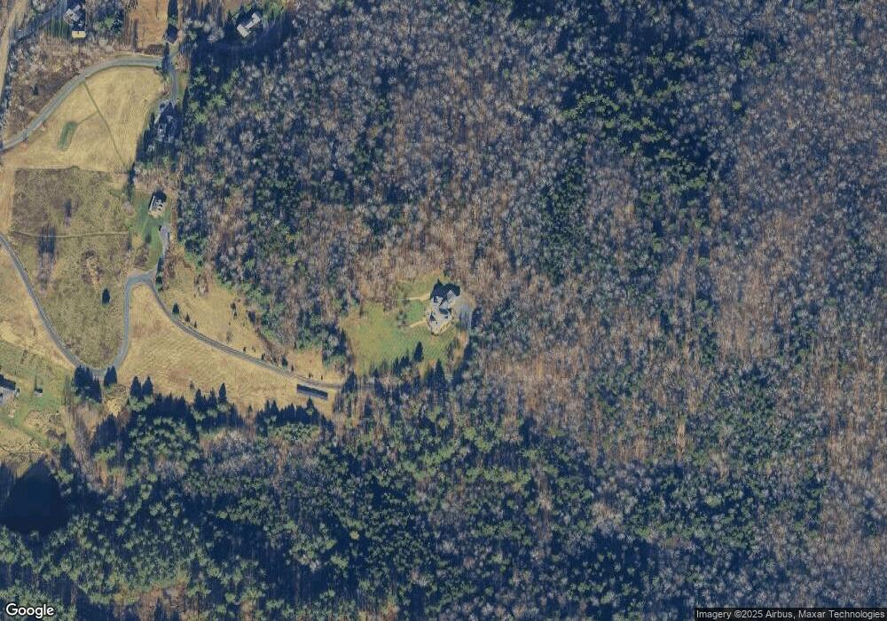
Map
Nearby Homes
- 80 Wade Rd
- 1407 Moretown Mountain Rd
- 1808 Route 100b
- 75 The Commons Unit 10
- 82 Moretown Common Rd Unit 30
- 459 Bat Hennesey Rd
- 989 Vermont Route 100b Route
- 1006 Brownsville Rd
- 720 Bat Hennessy Rd
- 778 Route 100 B
- 360 Ward Brook Rd
- 397 Pony Farm Rd
- 1910 Stevens Brook Rd
- 0 Devils Washbowl
- TBD Wilder Rd
- TBD Taylor Rd
- 3000 Vermont Route 100 Unit 6A
- 3000 Vermont Route 100 Unit 6C
- 801 Vt Route 100
- 801 Vermont Route 100
- 197 Misty Hilltop
- 122 Snowden Ln
- 2318 Moretown Common Rd
- 125 Snowden Ln
- 2110 Moretown Common Rd
- 2206 Moretown Common Rd
- 0 Maple Ridge Rd Unit 4812284
- 2107 Moretown Common Rd
- 2565 Moretown Common Rd
- 00 Moretown Common Rd
- 141 Wade Rd
- 307 Wade Rd
- 686 Farnham Rd
- 2846 Moretown Common Rd
- 2848 Moretown Common Rd
- 2956 Moretown Common Rd
- 139 Wade Rd
- 731 Farnham Rd
- 232 Wade Rd
- 286 Farnham Rd