441 S Sand Crane Cir Sparks, NV 89436
Sparks Galleria NeighborhoodEstimated Value: $532,470 - $562,000
3
Beds
2
Baths
1,823
Sq Ft
$303/Sq Ft
Est. Value
About This Home
This home is located at 441 S Sand Crane Cir, Sparks, NV 89436 and is currently estimated at $552,618, approximately $303 per square foot. 441 S Sand Crane Cir is a home located in Washoe County with nearby schools including Miguel Sepulveda Elementary School, Sky Ranch Middle School, and Edward C Reed High School.
Ownership History
Date
Name
Owned For
Owner Type
Purchase Details
Closed on
Jul 29, 2024
Sold by
Wood Geri Darlene and Wood Darlene G
Bought by
Geri Darlene Wood Trust and Wood
Current Estimated Value
Purchase Details
Closed on
Nov 3, 2005
Sold by
Preserve At Galleria Llc
Bought by
Wood Darlene G
Home Financials for this Owner
Home Financials are based on the most recent Mortgage that was taken out on this home.
Original Mortgage
$229,866
Interest Rate
5.87%
Mortgage Type
Negative Amortization
Create a Home Valuation Report for This Property
The Home Valuation Report is an in-depth analysis detailing your home's value as well as a comparison with similar homes in the area
Home Values in the Area
Average Home Value in this Area
Purchase History
| Date | Buyer | Sale Price | Title Company |
|---|---|---|---|
| Geri Darlene Wood Trust | -- | None Listed On Document | |
| Wood Darlene G | $350,000 | Stewart Title Of Northern Nv |
Source: Public Records
Mortgage History
| Date | Status | Borrower | Loan Amount |
|---|---|---|---|
| Previous Owner | Wood Darlene G | $229,866 |
Source: Public Records
Tax History Compared to Growth
Tax History
| Year | Tax Paid | Tax Assessment Tax Assessment Total Assessment is a certain percentage of the fair market value that is determined by local assessors to be the total taxable value of land and additions on the property. | Land | Improvement |
|---|---|---|---|---|
| 2025 | $2,354 | $125,376 | $39,480 | $85,896 |
| 2024 | $2,354 | $120,259 | $33,880 | $86,379 |
| 2023 | $2,285 | $117,837 | $36,190 | $81,647 |
| 2022 | $2,219 | $96,695 | $28,840 | $67,855 |
| 2021 | $2,153 | $92,432 | $24,850 | $67,582 |
| 2020 | $2,090 | $92,149 | $24,500 | $67,649 |
| 2019 | $2,029 | $88,552 | $23,940 | $64,612 |
| 2018 | $1,970 | $80,828 | $17,745 | $63,083 |
| 2017 | $1,912 | $79,995 | $16,905 | $63,090 |
| 2016 | $1,864 | $80,089 | $15,645 | $64,444 |
| 2015 | $1,861 | $78,303 | $14,280 | $64,023 |
| 2014 | $1,806 | $56,183 | $10,150 | $46,033 |
| 2013 | -- | $49,833 | $7,875 | $41,958 |
Source: Public Records
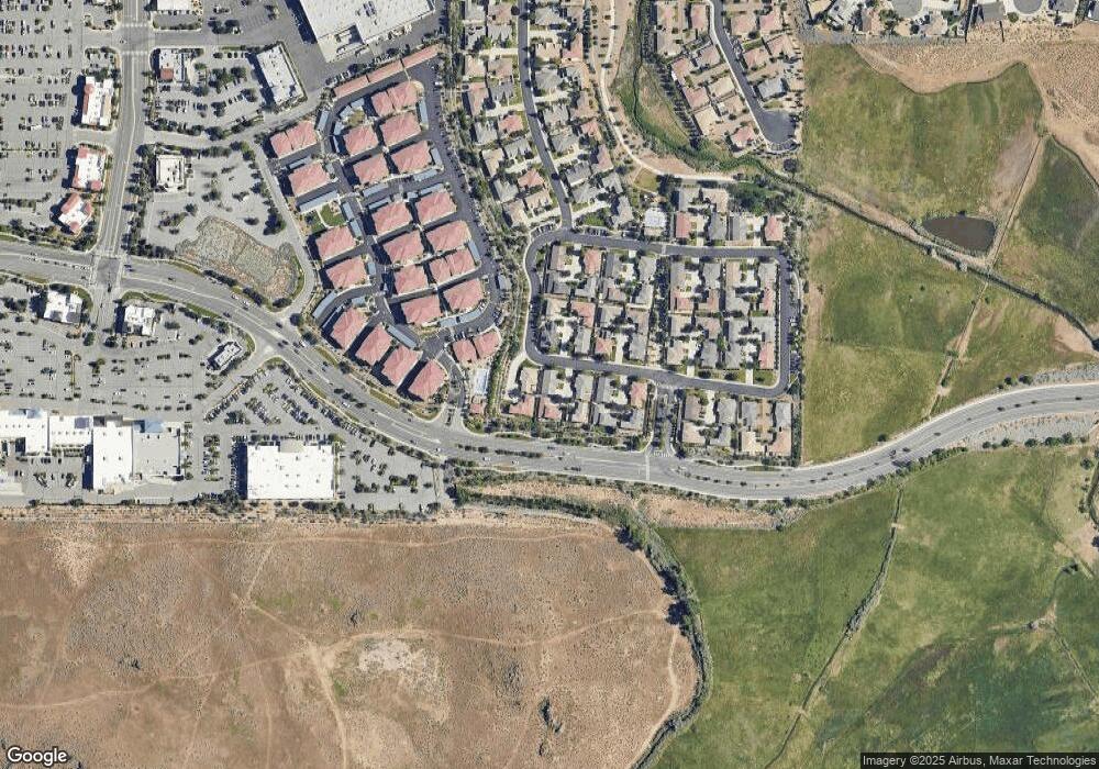
Map
Nearby Homes
- 510 S Sand Crane Cir
- 4719 Wood Thrush Ln
- 519 N Sand Crane Cir
- 4739 Wood Thrush Ln
- 4823 Tree Swallow Ln
- 4794 Sage Thrasher Way
- 4730 Tabuka Ln
- 4956 Monrovia Dr
- 4748 Pradera St
- 4515 Whitney Cir
- 4950 San Diego Ct
- 3988 Ella Jayne Ct Unit Lot 6
- 5049 Keams Ct
- 6550 Pyramid Way Unit 26
- 6550 Pyramid Way Unit 61
- 1357 Silver View Cir
- 801 Pinchot Pass Ct Unit 7
- 811 Pinchot Pass Ct Unit 5
- 4995 Wine Cellar Dr
- 3602 Oakridge Dr
- 471 S Sand Crane Cir
- 451 S Sand Crane Cir
- 431 S Sand Crane Cir
- 440 S Sand Crane Cir
- 421 S Sand Crane Cir
- 461 S Sand Crane Cir
- 470 S Sand Crane Cir
- 481 S Sand Crane Cir
- 445 S Sand Crane Cir
- 491 S Sand Crane Cir
- 480 S Sand Crane Cir
- 450 S Sand Crane Cir
- 460 S Sand Crane Cir
- 511 S Sand Crane Cir
- 490 S Sand Crane Cir
- 501 S Sand Crane Cir
- 449 N Sand Crane Cir
- 459 N Sand Crane Cir
- 500 S Sand Crane Cir
- 429 S Sand Crane Cir