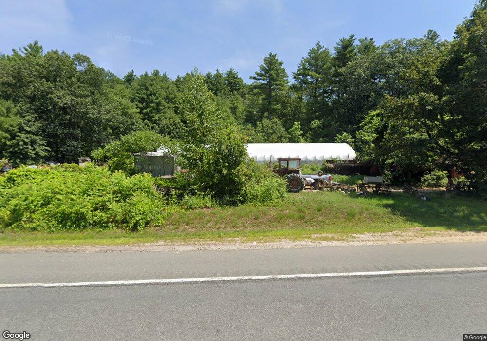
442 Amherst Rd Sunderland, MA 01375
Estimated Value: $321,000 - $501,000
4
Beds
1
Bath
1,720
Sq Ft
$232/Sq Ft
Est. Value
About This Home
This home is located at 442 Amherst Rd, Sunderland, MA 01375 and is currently estimated at $399,573, approximately $232 per square foot. 442 Amherst Rd is a home located in Franklin County with nearby schools including Sunderland Elementary School and Frontier Regional School.
Ownership History
Date
Name
Owned For
Owner Type
Purchase Details
Closed on
Aug 16, 2012
Sold by
Bagdon John J and Bagdon David R
Bought by
Bagdon Jonathan E and Bagdon Tracy-Ann
Current Estimated Value
Create a Home Valuation Report for This Property
The Home Valuation Report is an in-depth analysis detailing your home's value as well as a comparison with similar homes in the area
Home Values in the Area
Average Home Value in this Area
Purchase History
| Date | Buyer | Sale Price | Title Company |
|---|---|---|---|
| Bagdon Jonathan E | $100,000 | -- | |
| Bagdon Jonathan E | $100,000 | -- |
Source: Public Records
Mortgage History
| Date | Status | Borrower | Loan Amount |
|---|---|---|---|
| Previous Owner | Bagdon Jonathan E | $35,000 | |
| Previous Owner | Bagdon Jonathan E | $35,000 |
Source: Public Records
Tax History Compared to Growth
Tax History
| Year | Tax Paid | Tax Assessment Tax Assessment Total Assessment is a certain percentage of the fair market value that is determined by local assessors to be the total taxable value of land and additions on the property. | Land | Improvement |
|---|---|---|---|---|
| 2025 | $33 | $253,100 | $113,200 | $139,900 |
| 2024 | $3,326 | $253,100 | $113,200 | $139,900 |
| 2023 | $3,030 | $236,700 | $103,400 | $133,300 |
| 2022 | $3,038 | $206,700 | $88,900 | $117,800 |
| 2021 | $2,852 | $184,100 | $81,400 | $102,700 |
| 2020 | $2,850 | $184,600 | $81,400 | $103,200 |
| 2019 | $2,755 | $179,700 | $79,200 | $100,500 |
| 2018 | $2,616 | $174,400 | $74,400 | $100,000 |
| 2017 | $2,498 | $174,200 | $76,000 | $98,200 |
| 2016 | $2,675 | $182,500 | $74,400 | $108,100 |
| 2015 | $2,612 | $182,500 | $74,400 | $108,100 |
| 2014 | $2,551 | $182,500 | $74,400 | $108,100 |
Source: Public Records
Map
Nearby Homes
- 15 S Plain Rd
- 146 Old Amherst Rd
- 110 Old Amherst Rd
- 73 Depot Rd
- 113 Juggler Meadow Rd
- 259 Long Plain Rd
- 238 N Main St
- Lot 3A-3 Leverett Rd
- 55 Putney Rd
- 134 Montague Rd
- 0 Henry St
- Lot C Mountain Rd
- Lot A Mountain Rd
- Lot B Mountain Rd
- 958 E Pleasant St
- 3 Depot Rd
- 15 Crestview Dr
- 7 Roosevelt St
- 40 Eastern Ave
- 13 Harlow Dr
- 23 Bull Hill Rd
- 425 Amherst Rd
- 422 Amherst Rd
- 467 Amherst Rd
- 398 Amherst Rd
- 389 Amherst Rd
- 512 Amherst Rd
- 475 Amherst Rd
- 526 Amherst Rd
- 100 Bull Hill Rd
- 351 Amherst Rd
- 538 Amherst Rd
- Lot B Amherst Rd
- 330 Amherst Rd
- 196 S Silver Ln
- 12 N Plain Rd
- 118 Bull Hill Rd
- 122 S Silver Ln
- 122 S Silver Ln Unit 2
- 122 S Silver Ln