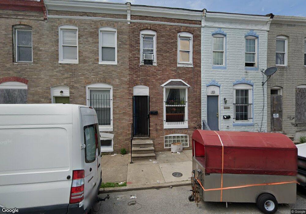
442 Furrow St Baltimore, MD 21223
Carrollton Ridge NeighborhoodEstimated Value: $48,000
--
Bed
1
Bath
910
Sq Ft
$53/Sq Ft
Est. Value
About This Home
This home is located at 442 Furrow St, Baltimore, MD 21223 and is currently estimated at $48,000, approximately $52 per square foot. 442 Furrow St is a home located in Baltimore City with nearby schools including Booker T. Washington Middle School, Edmondson Westside High School, and Digital Harbor High School.
Ownership History
Date
Name
Owned For
Owner Type
Purchase Details
Closed on
Jan 14, 2021
Sold by
Castillo Abel Rauda
Bought by
Zarate Eduardo Ramirez
Current Estimated Value
Purchase Details
Closed on
Nov 20, 2009
Sold by
Calles Rebecca
Bought by
Castillo Abel Rauda
Purchase Details
Closed on
Jun 22, 2006
Sold by
Henriquez Juan R
Bought by
Calles Rebecca and Rauda Abel
Purchase Details
Closed on
Feb 24, 2006
Sold by
Sumner Elizabeth R
Bought by
Henriquez Juan R
Create a Home Valuation Report for This Property
The Home Valuation Report is an in-depth analysis detailing your home's value as well as a comparison with similar homes in the area
Home Values in the Area
Average Home Value in this Area
Purchase History
| Date | Buyer | Sale Price | Title Company |
|---|---|---|---|
| Zarate Eduardo Ramirez | -- | Accommodation | |
| Castillo Abel Rauda | -- | -- | |
| Calles Rebecca | $25,000 | -- | |
| Henriquez Juan R | $20,000 | -- |
Source: Public Records
Tax History Compared to Growth
Tax History
| Year | Tax Paid | Tax Assessment Tax Assessment Total Assessment is a certain percentage of the fair market value that is determined by local assessors to be the total taxable value of land and additions on the property. | Land | Improvement |
|---|---|---|---|---|
| 2025 | $642 | $31,667 | -- | -- |
| 2024 | $642 | $27,333 | $0 | $0 |
| 2023 | $540 | $23,000 | $4,000 | $19,000 |
| 2022 | $480 | $20,333 | $0 | $0 |
| 2021 | $417 | $17,667 | $0 | $0 |
| 2020 | $354 | $15,000 | $3,000 | $12,000 |
| 2019 | $352 | $15,000 | $3,000 | $12,000 |
| 2018 | $354 | $15,000 | $3,000 | $12,000 |
| 2017 | $354 | $15,000 | $0 | $0 |
| 2016 | $71 | $15,000 | $0 | $0 |
| 2015 | $71 | $15,000 | $0 | $0 |
| 2014 | $71 | $3,000 | $0 | $0 |
Source: Public Records
Map
Nearby Homes
- 419 Furrow St
- 423 Furrow St
- 411 Furrow St
- 420 S Smallwood St
- 426 S Smallwood St
- 406 S Smallwood St
- 2202 Ashton St
- 2241 Ramsay St
- 452 Furrow St
- 454 Furrow St
- 347 S Smallwood St
- 342 S Smallwood St
- 328 Furrow St
- 430 S Bentalou St
- 510 S Smallwood St
- 408 S Bentalou St
- 478 S Bentalou St
- 480 S Bentalou St
- 406 S Pulaski St
- 2228 Christian St
- 444 Furrow St
- 440 Furrow St
- 438 Furrow St
- 446 Furrow St
- 448 Furrow St
- 436 Furrow St
- 450 Furrow St
- 434 Furrow St
- 432 Furrow St
- 430 Furrow St
- 429 S Bentalou St
- 427 S Bentalou St
- 431 S Bentalou St
- 425 S Bentalou St
- 433 S Bentalou St
- 423 S Bentalou St
- 428 Furrow St
- 456 Furrow St
- 2208 Ashton St
- 435 S Bentalou St