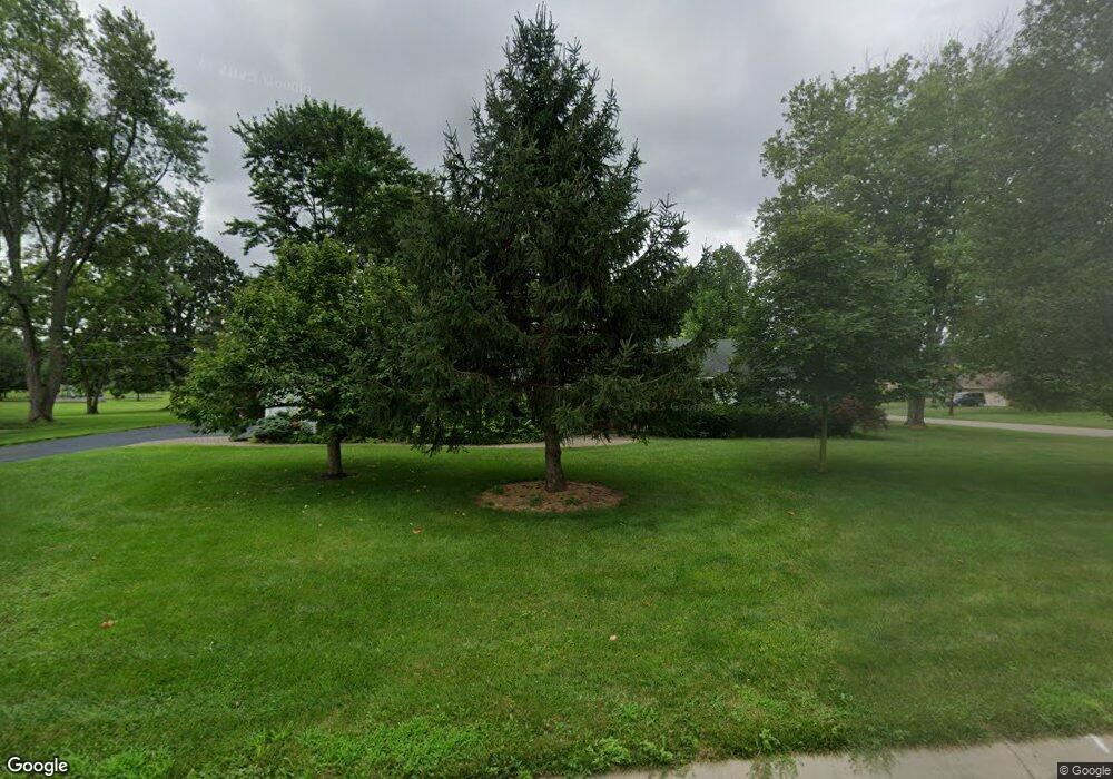
442 Southbrook Dr Dayton, OH 45459
Woodbourne-Hyde Park NeighborhoodEstimated Value: $342,000 - $437,000
3
Beds
3
Baths
2,127
Sq Ft
$176/Sq Ft
Est. Value
About This Home
This home is located at 442 Southbrook Dr, Dayton, OH 45459 and is currently estimated at $375,223, approximately $176 per square foot. 442 Southbrook Dr is a home located in Montgomery County with nearby schools including Primary Village North, John Hole Elementary, and Hadley E Watts Middle School.
Ownership History
Date
Name
Owned For
Owner Type
Purchase Details
Closed on
Jul 21, 2017
Sold by
Kuppin Pamela L
Bought by
Strack Paul W
Current Estimated Value
Home Financials for this Owner
Home Financials are based on the most recent Mortgage that was taken out on this home.
Original Mortgage
$167,000
Outstanding Balance
$139,015
Interest Rate
3.96%
Mortgage Type
New Conventional
Estimated Equity
$236,208
Purchase Details
Closed on
Oct 24, 2012
Sold by
Kuppin Paul I and Kuppin Pamela L
Bought by
Kupping Pamela L and Pamela L Kuppin Living Trust
Purchase Details
Closed on
Nov 22, 2006
Sold by
Vavul William G
Bought by
Kuppin Paul I and Kuppin Pamela L
Home Financials for this Owner
Home Financials are based on the most recent Mortgage that was taken out on this home.
Original Mortgage
$166,400
Interest Rate
6.47%
Mortgage Type
Purchase Money Mortgage
Create a Home Valuation Report for This Property
The Home Valuation Report is an in-depth analysis detailing your home's value as well as a comparison with similar homes in the area
Home Values in the Area
Average Home Value in this Area
Purchase History
| Date | Buyer | Sale Price | Title Company |
|---|---|---|---|
| Strack Paul W | $237,000 | Landmark Title Agency South | |
| Kupping Pamela L | -- | None Available | |
| Kuppin Paul I | $208,000 | Attorney |
Source: Public Records
Mortgage History
| Date | Status | Borrower | Loan Amount |
|---|---|---|---|
| Open | Strack Paul W | $167,000 | |
| Previous Owner | Kuppin Paul I | $166,400 |
Source: Public Records
Tax History Compared to Growth
Tax History
| Year | Tax Paid | Tax Assessment Tax Assessment Total Assessment is a certain percentage of the fair market value that is determined by local assessors to be the total taxable value of land and additions on the property. | Land | Improvement |
|---|---|---|---|---|
| 2024 | $4,947 | $89,360 | $17,560 | $71,800 |
| 2023 | $4,947 | $89,360 | $17,560 | $71,800 |
| 2022 | $4,678 | $68,740 | $13,510 | $55,230 |
| 2021 | $4,691 | $68,740 | $13,510 | $55,230 |
| 2020 | $4,685 | $68,740 | $13,510 | $55,230 |
| 2019 | $4,356 | $58,580 | $13,510 | $45,070 |
| 2018 | $4,571 | $58,580 | $13,510 | $45,070 |
| 2017 | $3,850 | $58,580 | $13,510 | $45,070 |
| 2016 | $3,547 | $52,000 | $13,510 | $38,490 |
| 2015 | $3,490 | $52,000 | $13,510 | $38,490 |
| 2014 | $3,490 | $52,000 | $13,510 | $38,490 |
| 2012 | -- | $51,510 | $11,670 | $39,840 |
Source: Public Records
Map
Nearby Homes
- 6935 Paragon Rd
- 7006 Cedar Pines Ct
- 312 Trebor Ln
- 427 Meadowview Dr
- 36 Blackstone Dr
- 121 S Village Dr
- 152 Cheltenham Dr
- 950 Olde Sterling Way
- 24 Nicholson Ct Unit 10
- 187 Cheltenham Dr
- 901 Olde Sterling Way
- 40 Nicholson Ct Unit 4
- 119 Blackstone Dr
- 6013 Gothic Place
- 6000 Cobbleskill Ct
- 281 N Village Dr
- 190 Winchcombe Dr
- 160 Ashford Dr
- 85 Poinciana Dr
- 7687 Normandy Ln
- 6706 Yorkcliff Place
- 400 Southbrook Dr
- 441 Southbrook Dr
- 456 Southbrook Dr
- 447 Southbrook Dr
- 6515 Rosa Linda Dr
- 6712 Yorkcliff Place
- 6709 Yorkcliff Place
- 453 Southbrook Dr
- 6715 Yorkcliff Place
- 308 Southbrook Dr
- 298 Marylhurst Dr
- 462 Southbrook Dr
- 6718 Yorkcliff Place
- 290 Marylhurst Dr
- 307 Southbrook Dr
- 320 Marylhurst Dr
- 459 Southbrook Dr
- 6727 Yorkcliff Place
- 6508 Rosa Linda Dr
