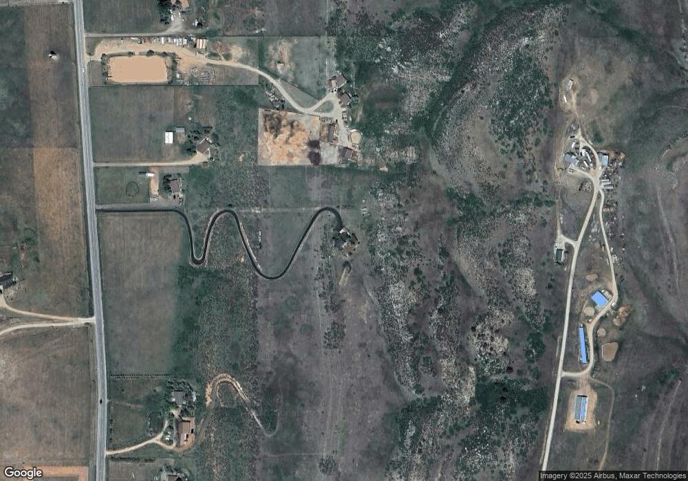
4420 S County Road 29 Loveland, CO 80537
Estimated Value: $959,000 - $1,309,000
3
Beds
5
Baths
1,857
Sq Ft
$584/Sq Ft
Est. Value
About This Home
This home is located at 4420 S County Road 29, Loveland, CO 80537 and is currently estimated at $1,084,591, approximately $584 per square foot. 4420 S County Road 29 is a home located in Larimer County with nearby schools including Big Thompson Elementary School, Walt Clark Middle School, and Thompson Valley High School.
Ownership History
Date
Name
Owned For
Owner Type
Purchase Details
Closed on
Jan 21, 2003
Sold by
Gonzales Benny J and Gonzales Elah K
Bought by
Watson Elah K
Current Estimated Value
Home Financials for this Owner
Home Financials are based on the most recent Mortgage that was taken out on this home.
Original Mortgage
$256,650
Outstanding Balance
$109,011
Interest Rate
5.96%
Estimated Equity
$975,580
Purchase Details
Closed on
Sep 8, 1998
Sold by
Coleman Ann R
Bought by
Covey Robert B and Jennings Valerie H
Home Financials for this Owner
Home Financials are based on the most recent Mortgage that was taken out on this home.
Original Mortgage
$75,545
Interest Rate
8%
Mortgage Type
Seller Take Back
Purchase Details
Closed on
Jul 1, 1993
Sold by
Freeman Antoinette Theresa
Bought by
Coleman Ann R
Create a Home Valuation Report for This Property
The Home Valuation Report is an in-depth analysis detailing your home's value as well as a comparison with similar homes in the area
Home Values in the Area
Average Home Value in this Area
Purchase History
| Date | Buyer | Sale Price | Title Company |
|---|---|---|---|
| Watson Elah K | -- | Stewart Title | |
| Covey Robert B | $98,500 | -- | |
| Coleman Ann R | $41,700 | -- |
Source: Public Records
Mortgage History
| Date | Status | Borrower | Loan Amount |
|---|---|---|---|
| Open | Watson Elah K | $256,650 | |
| Previous Owner | Covey Robert B | $75,545 |
Source: Public Records
Tax History Compared to Growth
Tax History
| Year | Tax Paid | Tax Assessment Tax Assessment Total Assessment is a certain percentage of the fair market value that is determined by local assessors to be the total taxable value of land and additions on the property. | Land | Improvement |
|---|---|---|---|---|
| 2025 | $4,876 | $63,563 | $11,939 | $51,624 |
| 2024 | $4,706 | $63,563 | $11,939 | $51,624 |
| 2022 | $3,562 | $45,176 | $7,576 | $37,600 |
| 2021 | $3,655 | $46,476 | $7,794 | $38,682 |
| 2020 | $2,830 | $35,979 | $7,794 | $28,185 |
| 2019 | $2,782 | $35,979 | $7,794 | $28,185 |
| 2018 | $2,637 | $32,357 | $6,696 | $25,661 |
| 2017 | $2,269 | $32,357 | $6,696 | $25,661 |
| 2016 | $2,119 | $29,213 | $5,174 | $24,039 |
| 2015 | $2,100 | $29,210 | $5,170 | $24,040 |
| 2014 | $2,058 | $27,670 | $4,540 | $23,130 |
Source: Public Records
Map
Nearby Homes
- 4400 Sedona Hills Dr
- 5644 Kiva Ridge Dr
- 5714 Bluff Ln
- 3020 Blue Mountain Ct
- 2909 Pronghorn Ct
- 2712 S County Road 29
- 8701 Rock Hill Rd
- 4012 Lakefront Dr
- 2272 Golden Valley Rd
- 6502 & 6200 Kiva Ridge Dr
- 6319 Sedona Hills Dr
- 9209 Four Wheel Dr
- 4260 S County Road 23
- 3204 Indian Blind Trail
- 6950 W County Road 18
- 4707 Lonetree Dr
- 1932 N County Road 23
- 1350 S County Road 29
- 4616 Lonetree Dr
- 2366 Shoreside Dr
- 4220 S County Road 29
- 4384 S County Road 29
- 4300 S County Road 29
- 4562 S County Road 29
- 4415 Wild Wing Dr
- 4100 S County Road 29
- 4604 S County Road 29
- 4750 S County Road 29
- 4445 S County Road 29
- 3994 S County Road 29
- 4856 S County Road 29
- 4044 S County Road 29
- 4539 S County Road 29
- 4241 S County Road 29
- 3848 S County Road 29
- 4033 S County Road 29
- 4731 S County Road 29
- 4731 S County Road 29
- 5045 Wild Wing Dr
- 4952 S County Road 29
