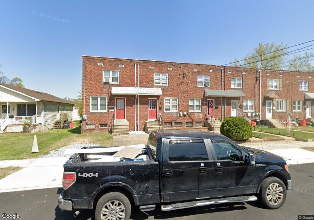
443 Thomson Ave Unit M27 Paulsboro, NJ 08066
Estimated Value: $123,612 - $162,000
--
Bed
--
Bath
896
Sq Ft
$162/Sq Ft
Est. Value
About This Home
This home is located at 443 Thomson Ave Unit M27, Paulsboro, NJ 08066 and is currently estimated at $145,403, approximately $162 per square foot. 443 Thomson Ave Unit M27 is a home located in Gloucester County with nearby schools including Billingsport Elementary School, Loudenslager Elementary School, and Paulsboro High School.
Ownership History
Date
Name
Owned For
Owner Type
Purchase Details
Closed on
May 23, 2022
Sold by
Roy Myers Ii
Bought by
Mjor Development Group Llc
Current Estimated Value
Purchase Details
Closed on
Feb 14, 2014
Sold by
Jrm Rental Properties Llc
Bought by
Myers Roy
Purchase Details
Closed on
Aug 1, 2007
Sold by
Myers Roy
Bought by
Jrm Rental Properties Llc
Purchase Details
Closed on
Sep 24, 2003
Sold by
Hud
Bought by
Myers Roy
Home Financials for this Owner
Home Financials are based on the most recent Mortgage that was taken out on this home.
Original Mortgage
$32,000
Interest Rate
6.15%
Mortgage Type
Purchase Money Mortgage
Purchase Details
Closed on
Apr 4, 2003
Sold by
Fox James E and Fox Diane M
Bought by
Hud
Purchase Details
Closed on
Oct 30, 1997
Sold by
Manson Frank W
Bought by
Fox James Elwood and Fox Diane Mary
Home Financials for this Owner
Home Financials are based on the most recent Mortgage that was taken out on this home.
Original Mortgage
$54,959
Interest Rate
7.19%
Mortgage Type
FHA
Create a Home Valuation Report for This Property
The Home Valuation Report is an in-depth analysis detailing your home's value as well as a comparison with similar homes in the area
Home Values in the Area
Average Home Value in this Area
Purchase History
| Date | Buyer | Sale Price | Title Company |
|---|---|---|---|
| Mjor Development Group Llc | -- | Gleaner Robert A | |
| Myers Roy | -- | -- | |
| Jrm Rental Properties Llc | -- | None Available | |
| Myers Roy | $40,000 | Independence Abstract & Titl | |
| Hud | -- | -- | |
| Fox James Elwood | $55,000 | Heritage Title |
Source: Public Records
Mortgage History
| Date | Status | Borrower | Loan Amount |
|---|---|---|---|
| Previous Owner | Myers Roy | $32,000 | |
| Previous Owner | Fox James Elwood | $54,959 |
Source: Public Records
Tax History Compared to Growth
Tax History
| Year | Tax Paid | Tax Assessment Tax Assessment Total Assessment is a certain percentage of the fair market value that is determined by local assessors to be the total taxable value of land and additions on the property. | Land | Improvement |
|---|---|---|---|---|
| 2025 | $1,756 | $39,900 | $14,900 | $25,000 |
| 2024 | $1,754 | $39,900 | $14,900 | $25,000 |
| 2023 | $1,754 | $39,900 | $14,900 | $25,000 |
| 2022 | $1,722 | $39,900 | $14,900 | $25,000 |
| 2021 | $1,689 | $39,900 | $14,900 | $25,000 |
| 2020 | $1,678 | $39,900 | $14,900 | $25,000 |
| 2019 | $1,626 | $39,900 | $14,900 | $25,000 |
| 2018 | $1,533 | $39,900 | $14,900 | $25,000 |
| 2017 | $1,526 | $39,900 | $14,900 | $25,000 |
| 2016 | $1,454 | $39,900 | $14,900 | $25,000 |
| 2015 | $1,446 | $39,900 | $14,900 | $25,000 |
| 2014 | $1,933 | $57,400 | $17,100 | $40,300 |
Source: Public Records
Map
Nearby Homes
- 219 Vanneman Blvd
- L18 20 W Broad St
- 335 W Buck St
- 344 W Washington St
- 255 Elizabeth Ave
- 269 W Broad St
- 836 E Broad St
- 1043 Penn Line Rd
- 227 W Buck St
- 1214 Walter Ave
- 1534 Pine St
- 330 Croce Ave
- 1519 Pine St
- 122 W Washington St
- 129 W Washington St
- 1224 Heddon Ave
- 140 142 W Jefferson St
- 28 W Jefferson St
- 21 W Adams St
- 11 W Washington St
- 441 Thomson Ave
- 443 1/2 Thomson Ave
- 439 1/2 Thomson Ave
- 439 Thomson Ave
- 439 Thomson Ave Unit M27
- 445 Thomson Ave
- 437 Thomson Ave
- 435 1/2 Thomson Ave
- 435 Thomson Ave
- 451 Thomson Ave
- 433 Thomson Ave
- 444 W Broad St
- 438 W Broad St
- 442 1/2 Thomson Ave
- 442 Thomson Ave
- 440 Thomson Ave
- 444 Thomson Ave
- 432 Thomson Ave
- 446 Thomson Ave
- 446 1/2 Thomson Ave