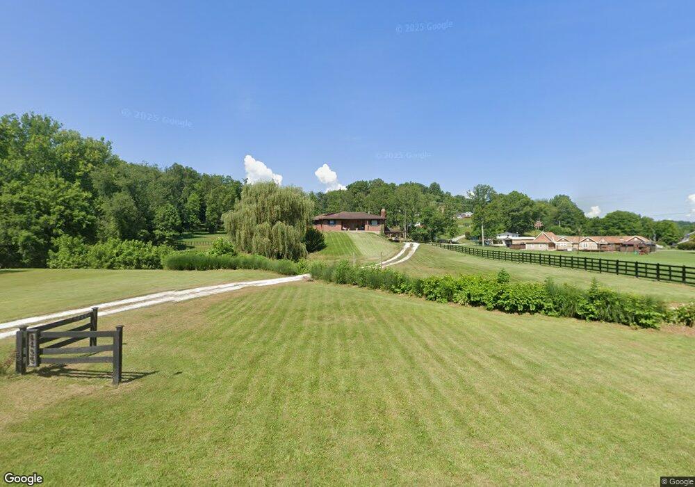
4435 State Route 5 Ashland, KY 41102
Estimated Value: $106,000 - $192,000
3
Beds
3
Baths
1,616
Sq Ft
$98/Sq Ft
Est. Value
About This Home
This home is located at 4435 State Route 5, Ashland, KY 41102 and is currently estimated at $158,371, approximately $98 per square foot. 4435 State Route 5 is a home located in Boyd County with nearby schools including Boyd County High School and Rose Hill Christian School.
Ownership History
Date
Name
Owned For
Owner Type
Purchase Details
Closed on
Jul 25, 2025
Sold by
Cherokee Trust and Sager Bryan Thomas
Bought by
Gullett Michael Dean and Gullett Cheri Lynn
Current Estimated Value
Purchase Details
Closed on
May 8, 2021
Sold by
Gullett Michael D and Gullett Cheri
Bought by
Cornwell Steven A and Cornwell Whitney Nicole
Home Financials for this Owner
Home Financials are based on the most recent Mortgage that was taken out on this home.
Original Mortgage
$209,595
Interest Rate
2.9%
Mortgage Type
New Conventional
Create a Home Valuation Report for This Property
The Home Valuation Report is an in-depth analysis detailing your home's value as well as a comparison with similar homes in the area
Home Values in the Area
Average Home Value in this Area
Purchase History
| Date | Buyer | Sale Price | Title Company |
|---|---|---|---|
| Gullett Michael Dean | $90,000 | None Listed On Document | |
| Gullett Michael Dean | $90,000 | None Listed On Document | |
| Cornwell Steven A | $206,000 | Bestitle Title Agency |
Source: Public Records
Mortgage History
| Date | Status | Borrower | Loan Amount |
|---|---|---|---|
| Previous Owner | Cornwell Steven A | $209,595 |
Source: Public Records
Tax History Compared to Growth
Tax History
| Year | Tax Paid | Tax Assessment Tax Assessment Total Assessment is a certain percentage of the fair market value that is determined by local assessors to be the total taxable value of land and additions on the property. | Land | Improvement |
|---|---|---|---|---|
| 2024 | $439 | $31,600 | $15,000 | $16,600 |
| 2023 | $206 | $15,000 | $15,000 | $0 |
| 2022 | $206 | $15,000 | $15,000 | $0 |
| 2021 | $2,720 | $197,649 | $197,649 | $0 |
| 2020 | $2,766 | $196,500 | $196,500 | $0 |
| 2019 | $2,781 | $196,500 | $0 | $0 |
| 2018 | $2,762 | $196,500 | $0 | $0 |
| 2017 | $2,717 | $196,500 | $0 | $0 |
| 2016 | $2,604 | $196,500 | $0 | $0 |
| 2015 | $2,717 | $196,500 | $11,500 | $185,000 |
| 2012 | $2,458 | $196,500 | $11,500 | $185,000 |
Source: Public Records
Map
Nearby Homes
- 4873 Cardinal Dr
- 912 Shady Oak Dr
- 4028 Dickerson Rd
- 5609 Small Blvd
- 313 Forestdale Rd
- 225 W Dog Ridge Rd
- 222 W Meadowbrook Rd
- 0 Dee Ct
- 122 W Hicks Ct
- 5201 Bybee Rd
- 0 Muddy Unit 57870
- 5415 Bybee Rd
- 3028 State Route 5
- 350 Kentucky 716
- 523 W New Buckley Rd
- 509 Middletown Ave Unit WW
- 219 Johnson Ave
- 500 Middletown Ave
- 2660 Main St W
- 2620 Piqua St
- 4509 State Route 5
- 1822 W Hearthstone Dr
- 1903 W Hearthstone Ln
- 1904 W Hearthstone Dr
- 4503 State Route 5
- 1909 W Hearthstone Dr
- 0 Route 5 Unit 56066
- 1654 W Rose Rd
- 1916 W Hearthstone Dr
- 1914 W Hearthstone Ln
- 4537 State Route 5
- 1911 W Hearthstone Ln
- 1901 W Steele Dr
- 1948 W Hearthstone Dr
- 1932 W Hearthstone Ln
- 2020 W Hearthstone Ct
- 1947 W Hearthstone Dr
- 1937 W Hearthstone Ln
- 2024 W Hearthstone Ct
- 2000 W Hearthstone Dr