446 Hawks Nest Rd Monroe, VA 24574
Estimated Value: $305,000 - $451,255
1
Bed
1
Bath
936
Sq Ft
$391/Sq Ft
Est. Value
About This Home
This home is located at 446 Hawks Nest Rd, Monroe, VA 24574 and is currently estimated at $366,418, approximately $391 per square foot. 446 Hawks Nest Rd is a home located in Amherst County with nearby schools including Elon Elementary School, Monelison Middle School, and Amherst County High School.
Ownership History
Date
Name
Owned For
Owner Type
Purchase Details
Closed on
Mar 23, 2011
Sold by
Watson Travis L and Watson Laura
Bought by
Saville John A and Saville Kimberly B
Current Estimated Value
Home Financials for this Owner
Home Financials are based on the most recent Mortgage that was taken out on this home.
Original Mortgage
$205,469
Outstanding Balance
$142,500
Interest Rate
4.99%
Mortgage Type
Purchase Money Mortgage
Estimated Equity
$223,918
Purchase Details
Closed on
Feb 23, 2007
Sold by
Spear Randl J and Spear Hila J
Bought by
Watson Travis L and Watson Laura
Home Financials for this Owner
Home Financials are based on the most recent Mortgage that was taken out on this home.
Original Mortgage
$212,500
Interest Rate
6.33%
Mortgage Type
Purchase Money Mortgage
Create a Home Valuation Report for This Property
The Home Valuation Report is an in-depth analysis detailing your home's value as well as a comparison with similar homes in the area
Home Values in the Area
Average Home Value in this Area
Purchase History
| Date | Buyer | Sale Price | Title Company |
|---|---|---|---|
| Saville John A | $205,469 | Southern Title | |
| Watson Travis L | -- | None Available |
Source: Public Records
Mortgage History
| Date | Status | Borrower | Loan Amount |
|---|---|---|---|
| Open | Saville John A | $205,469 | |
| Previous Owner | Watson Travis L | $212,500 |
Source: Public Records
Tax History Compared to Growth
Tax History
| Year | Tax Paid | Tax Assessment Tax Assessment Total Assessment is a certain percentage of the fair market value that is determined by local assessors to be the total taxable value of land and additions on the property. | Land | Improvement |
|---|---|---|---|---|
| 2025 | $1,623 | $266,000 | $167,200 | $98,800 |
| 2024 | $1,623 | $266,000 | $167,200 | $98,800 |
| 2023 | $1,623 | $266,000 | $167,200 | $98,800 |
| 2022 | $1,623 | $266,000 | $167,200 | $98,800 |
| 2021 | $1,623 | $266,000 | $167,200 | $98,800 |
| 2020 | $1,623 | $266,000 | $167,200 | $98,800 |
| 2019 | $1,473 | $241,400 | $173,200 | $68,200 |
| 2018 | $1,473 | $241,400 | $173,200 | $68,200 |
| 2017 | $1,473 | $241,400 | $173,200 | $68,200 |
| 2016 | $1,473 | $241,400 | $173,200 | $68,200 |
| 2015 | $1,352 | $241,400 | $173,200 | $68,200 |
| 2014 | $1,352 | $241,400 | $173,200 | $68,200 |
Source: Public Records
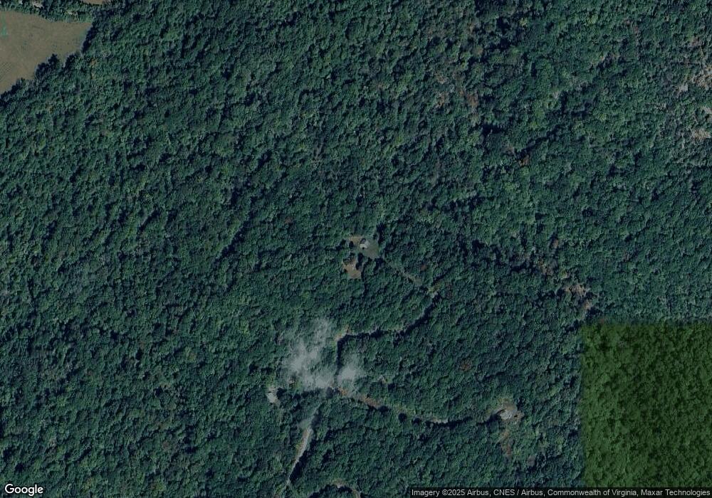
Map
Nearby Homes
- 139 Indigo Ridge
- 700 Cloudcroft Dr
- 166 Serenity Ln
- 2294 High Peak Rd
- 12 Gun Mountain Dr
- 233 Saddleback Way
- 144 Manse Rd
- 202 Ridgecrest Dr
- 106 Monacan Park Rd
- 553 Gun Mountain Dr
- 253 Camden Dr
- 249 Camden Dr
- 257 Camden Dr
- 295 Foxcroft Dr
- 216 Burford Farm Rd
- 7 Crane Dr
- 14 Crane Dr
- 23 Crane Dr
- 8 Crane Dr
- 6 Crane Dr
- 296 Hawks Nest Rd
- 371 Hawks Nest Rd
- 116 Hawks Nest Rd
- 434 Hanging Rock Rd
- 375 Tree Loft Ln
- 706 Hanging Rock Rd
- 415 Hanging Rock Rd
- 153 Treeloft Ln
- 312 Montrose Rd
- 1915 Mistover Dr
- 1366 Mistover Dr
- 332 Montrose Rd
- 204 Tree Loft Ln
- 356 Montrose Rd
- 157 Coopers Cove Ln
- 142 Treeloft Ln
- 1850 Mistover Dr
- 310 Montrose Rd
- 372 Montrose Rd
- 124 Coopers Cove Ln