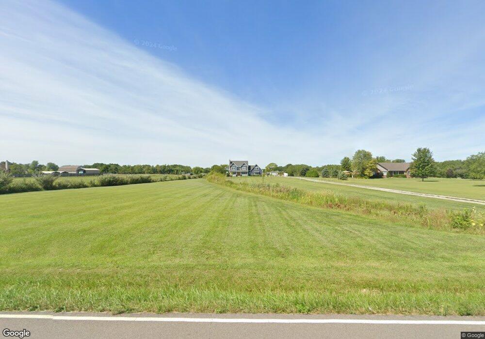
4465 Riggs Rd Oxford, OH 45056
Estimated Value: $486,000 - $752,000
5
Beds
4
Baths
3,206
Sq Ft
$194/Sq Ft
Est. Value
About This Home
This home is located at 4465 Riggs Rd, Oxford, OH 45056 and is currently estimated at $622,447, approximately $194 per square foot. 4465 Riggs Rd is a home with nearby schools including Talawanda Middle School, Talawanda High School, and Mcguffey Montessori School.
Ownership History
Date
Name
Owned For
Owner Type
Purchase Details
Closed on
Mar 17, 2016
Sold by
Burns Michael and Burns Cornelia
Bought by
Bunting Jared W and Bunting Barbara J
Current Estimated Value
Home Financials for this Owner
Home Financials are based on the most recent Mortgage that was taken out on this home.
Original Mortgage
$47,920
Outstanding Balance
$20,668
Interest Rate
3.65%
Mortgage Type
Closed End Mortgage
Estimated Equity
$601,779
Purchase Details
Closed on
Jul 23, 2007
Sold by
Nusbaum Donald D and Nusbaum Mekka M
Bought by
Burns Michael and Burns Cornelia
Create a Home Valuation Report for This Property
The Home Valuation Report is an in-depth analysis detailing your home's value as well as a comparison with similar homes in the area
Home Values in the Area
Average Home Value in this Area
Purchase History
| Date | Buyer | Sale Price | Title Company |
|---|---|---|---|
| Bunting Jared W | $59,900 | None Available | |
| Burns Michael | -- | Attorney |
Source: Public Records
Mortgage History
| Date | Status | Borrower | Loan Amount |
|---|---|---|---|
| Open | Bunting Jared W | $47,920 |
Source: Public Records
Tax History Compared to Growth
Tax History
| Year | Tax Paid | Tax Assessment Tax Assessment Total Assessment is a certain percentage of the fair market value that is determined by local assessors to be the total taxable value of land and additions on the property. | Land | Improvement |
|---|---|---|---|---|
| 2024 | $6,589 | $182,380 | $28,160 | $154,220 |
| 2023 | $6,486 | $178,700 | $28,160 | $150,540 |
| 2022 | $4,940 | $119,280 | $28,160 | $91,120 |
| 2021 | $4,713 | $119,280 | $28,160 | $91,120 |
| 2020 | $4,920 | $119,280 | $28,160 | $91,120 |
| 2019 | $7,964 | $97,130 | $26,880 | $70,250 |
| 2018 | $867 | $19,930 | $19,930 | $0 |
| 2017 | $849 | $19,930 | $19,930 | $0 |
| 2016 | $876 | $19,930 | $19,930 | $0 |
| 2015 | $537 | $24,080 | $24,080 | $0 |
| 2014 | $619 | $24,080 | $24,080 | $0 |
| 2013 | $619 | $14,630 | $14,630 | $0 |
Source: Public Records
Map
Nearby Homes
- 7755 Fairfield Rd
- 65 Great Horned Dr
- 1969 Snowy Ln
- 1985 Snowy Ln
- Chatham Plan at Owls' Landing
- Newcastle Plan at Owls' Landing
- Holcombe Plan at Owls' Landing
- Henley Plan at Owls' Landing
- Bridgeport Plan at Owls' Landing
- 80 Great Horned Dr
- 74 Great Horned Dr
- 71 Great Horned Dr
- 59 Great Horned Dr
- 53 Great Horned Dr
- 3858 Indian Creek Rd
- 60 Autumn Dr
- 6 Autumn Dr
- 812 Winding Brook Dr
- 3595 Riggs Rd
- 4495 Riggs Rd
- 4483 Riggs Rd
- 4401 Riggs Rd
- 4535 Riggs Rd
- 4395 Riggs Rd
- 4375 Riggs Rd
- 7278 Brookville Rd
- 7256 Brookville Rd
- 7252 Brookville Rd
- Lot Riggs Rd
- 9.0670ac Riggs Rd
- 4567 Riggs Rd
- 7297 Brookville Rd
- 7275 Brookville Rd
- 7247 Brookville Rd
- 7221 Brookville Rd
- 7331 Brookville Rd
- 7350 Brookville Rd
- 7350 Brookville Rd
- 7191 Brookville Rd