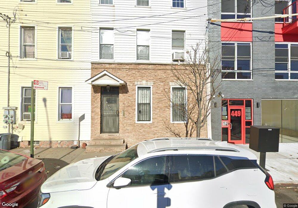
447 Liberty Ave Brooklyn, NY 11207
East New York NeighborhoodEstimated Value: $1,066,000 - $1,100,000
4
Beds
3
Baths
2,400
Sq Ft
$451/Sq Ft
Est. Value
About This Home
This home is located at 447 Liberty Ave, Brooklyn, NY 11207 and is currently estimated at $1,083,000, approximately $451 per square foot. 447 Liberty Ave is a home located in Kings County with nearby schools including P.S. 149 Danny Kaye, Vista Academy, and Liberty Avenue Middle School.
Ownership History
Date
Name
Owned For
Owner Type
Purchase Details
Closed on
Sep 23, 2025
Sold by
Carvajal Jafson and Rojas Hernan
Bought by
447 Liberty Corp
Current Estimated Value
Purchase Details
Closed on
Jul 22, 2020
Sold by
Carvajal Fanny
Bought by
Carvajal Jafson and Rojas Hernan
Purchase Details
Closed on
Apr 12, 1996
Sold by
Carvajal Robert and Carvajal Jafson
Bought by
Carvajal Fausto A and Carvajal Fanny
Create a Home Valuation Report for This Property
The Home Valuation Report is an in-depth analysis detailing your home's value as well as a comparison with similar homes in the area
Home Values in the Area
Average Home Value in this Area
Purchase History
| Date | Buyer | Sale Price | Title Company |
|---|---|---|---|
| 447 Liberty Corp | -- | -- | |
| Carvajal Jafson | -- | -- | |
| Carvajal Jafson | -- | -- | |
| Carvajal Fausto A | -- | -- | |
| Carvajal Fausto A | -- | -- |
Source: Public Records
Tax History Compared to Growth
Tax History
| Year | Tax Paid | Tax Assessment Tax Assessment Total Assessment is a certain percentage of the fair market value that is determined by local assessors to be the total taxable value of land and additions on the property. | Land | Improvement |
|---|---|---|---|---|
| 2025 | $3,886 | $70,680 | $8,940 | $61,740 |
| 2024 | $3,886 | $61,920 | $8,940 | $52,980 |
| 2023 | $3,710 | $64,320 | $8,940 | $55,380 |
| 2022 | $3,447 | $52,620 | $8,940 | $43,680 |
| 2021 | $3,431 | $57,120 | $8,940 | $48,180 |
| 2020 | $2,573 | $45,120 | $8,940 | $36,180 |
| 2019 | $1,027 | $45,120 | $8,940 | $36,180 |
| 2018 | $893 | $15,225 | $4,155 | $11,070 |
| 2017 | $849 | $14,389 | $4,591 | $9,798 |
| 2016 | $737 | $13,584 | $4,949 | $8,635 |
| 2015 | -- | $13,584 | $4,153 | $9,431 |
| 2014 | -- | $13,436 | $4,666 | $8,770 |
Source: Public Records
Map
Nearby Homes
- 159 Wyona St
- 207 Bradford St
- 174 van Siclen Ave
- 95 Wyona St
- 90 Wyona St
- 168 Miller Ave
- 243 Wyona St
- 124 Pennsylvania Ave
- 2735 Fulton St
- 57 Wyona St
- 2825 Atlantic Ave
- 303 Hendrix St
- 202 Schenck Ave
- 52 Bradford St
- 279 van Siclen Ave
- 35 Wyona St
- 2210 Pitkin Ave
- 572 Glenmore Ave
- 576 Glenmore Ave
- 2830 Fulton St
- 445 Liberty Ave
- 449 Liberty Ave
- 443 Liberty Ave
- 451 Liberty Ave
- 161 Wyona St
- 441 Liberty Ave Unit Building
- 441 Liberty Ave
- 453 Liberty Ave
- 453 Liberty Ave Unit Building
- 439 Liberty Ave
- 157 Wyona St
- 168 Bradford St
- 170-178 Bradford St
- 170 Bradford St Unit 2
- 170 Bradford St
- 155 Wyona St
- 153 Wyona St
- 450 Liberty Ave
- 158 Bradford St
- 158 Bradford St Unit 3R