4479 Woodrow Wilson Rd Springfield, TN 37172
Estimated Value: $561,000 - $577,634
--
Bed
2
Baths
1,784
Sq Ft
$319/Sq Ft
Est. Value
About This Home
This home is located at 4479 Woodrow Wilson Rd, Springfield, TN 37172 and is currently estimated at $569,317, approximately $319 per square foot. 4479 Woodrow Wilson Rd is a home located in Robertson County with nearby schools including East Robertson Elementary School and East Robertson High School.
Ownership History
Date
Name
Owned For
Owner Type
Purchase Details
Closed on
Aug 1, 2023
Sold by
Mitchell Family Revocable Trust
Bought by
Fisher Ernest S and Fisher Elaine M
Current Estimated Value
Purchase Details
Closed on
Mar 2, 2023
Sold by
Fisher Ernest Stephen and Fisher Elaine M
Bought by
Simmons Barbara Denise and Simmons Paul Stanley
Purchase Details
Closed on
Dec 11, 1995
Bought by
Cope Randall W
Purchase Details
Closed on
Feb 28, 1989
Bought by
Fisher Ernest S and Fisher Elaine M
Create a Home Valuation Report for This Property
The Home Valuation Report is an in-depth analysis detailing your home's value as well as a comparison with similar homes in the area
Home Values in the Area
Average Home Value in this Area
Purchase History
| Date | Buyer | Sale Price | Title Company |
|---|---|---|---|
| Fisher Ernest S | -- | None Listed On Document | |
| Simmons Barbara Denise | -- | -- | |
| Simmons Barbara Denise | -- | None Listed On Document | |
| Cope Randall W | $25,000 | -- | |
| Fisher Ernest S | $26,000 | -- |
Source: Public Records
Tax History Compared to Growth
Tax History
| Year | Tax Paid | Tax Assessment Tax Assessment Total Assessment is a certain percentage of the fair market value that is determined by local assessors to be the total taxable value of land and additions on the property. | Land | Improvement |
|---|---|---|---|---|
| 2024 | $1,588 | $88,200 | $19,325 | $68,875 |
| 2023 | $1,589 | $88,200 | $19,325 | $68,875 |
| 2022 | $1,575 | $61,150 | $10,925 | $50,225 |
| 2021 | $1,575 | $61,150 | $10,925 | $50,225 |
| 2020 | $1,575 | $61,150 | $10,925 | $50,225 |
| 2019 | $1,575 | $61,150 | $10,925 | $50,225 |
| 2018 | $1,575 | $61,150 | $10,925 | $50,225 |
| 2017 | $1,340 | $43,450 | $9,275 | $34,175 |
| 2016 | $1,340 | $43,450 | $9,275 | $34,175 |
| 2015 | $1,286 | $43,450 | $9,275 | $34,175 |
| 2014 | $1,286 | $43,450 | $9,275 | $34,175 |
Source: Public Records
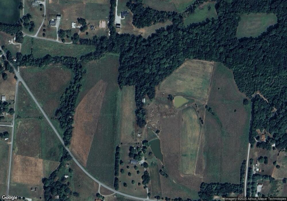
Map
Nearby Homes
- 4616 Woodrow Wilson Rd
- 6809 Lovel Cook Rd
- 7265 Highway 25 E
- 7341 Ruby Keith Rd
- 0 Woodrow Wilson Rd
- 4540 Roy Cole Rd
- 3057 Chance Ct
- 9611 Cross Plains Rd
- 3966 Baggett Rd
- 12354 Owens Chapel Rd
- 0 Pinson Rd
- 4844 Homer Worsham Rd
- 200 S Cedar St
- 4031 Wells Rd
- 2136 Neill Ln
- 4037 Weston Dr
- 3972 Baggett Rd
- 4002 Baggett Rd
- 0 Homer Worsham Rd
- 7452 Chowning Rd
- 4518 Woodrow Wilson Rd
- 4474 Woodrow Wilson Rd
- 4450 Woodrow Wilson Rd
- 4439 Woodrow Wilson Rd
- 4383 Oregon Rd
- 4438 Woodrow Wilson Rd
- 4373 Oregon Rd
- 4421 Woodrow Wilson Rd
- 4413 Woodrow Wilson Rd
- 4442 Oregon Rd
- 4442 Oregon Rd
- 4442 Woodrow Wilson Rd
- 7026 Cranor Rd
- 4440 Woodrow Wilson Rd
- 7006 Cranor Rd
- 4441 Woodrow Wilson Rd
- 4361 Oregon Rd
- 7022 Cranor Rd
- 4430 Woodrow Wilson Rd
- 4401 Woodrow Wilson Rd