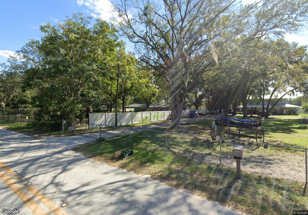
449 Plymouth Rd Auburndale, FL 33823
Estimated Value: $382,000 - $497,882
3
Beds
2
Baths
1,853
Sq Ft
$229/Sq Ft
Est. Value
About This Home
This home is located at 449 Plymouth Rd, Auburndale, FL 33823 and is currently estimated at $424,971, approximately $229 per square foot. 449 Plymouth Rd is a home located in Polk County with nearby schools including Lena Vista Elementary School, Jewett School of the Arts, and Frank E. Brigham Academy.
Ownership History
Date
Name
Owned For
Owner Type
Purchase Details
Closed on
Nov 12, 2019
Sold by
Dennis Vickie W
Bought by
Dennis Justin L and Dennis Charity J
Current Estimated Value
Purchase Details
Closed on
Apr 4, 2009
Sold by
Franesco Freddie and Martinez Ileana
Bought by
The White Family Trust
Purchase Details
Closed on
Mar 9, 2009
Sold by
Francisco Freddie and Martinez Ileana
Bought by
White Charlie E and White Alma J
Create a Home Valuation Report for This Property
The Home Valuation Report is an in-depth analysis detailing your home's value as well as a comparison with similar homes in the area
Home Values in the Area
Average Home Value in this Area
Purchase History
| Date | Buyer | Sale Price | Title Company |
|---|---|---|---|
| Dennis Justin L | $126,700 | Attorney | |
| Dennis Vickie W | -- | Attorney | |
| The White Family Trust | -- | None Available | |
| White Charlie E | -- | None Available |
Source: Public Records
Tax History Compared to Growth
Tax History
| Year | Tax Paid | Tax Assessment Tax Assessment Total Assessment is a certain percentage of the fair market value that is determined by local assessors to be the total taxable value of land and additions on the property. | Land | Improvement |
|---|---|---|---|---|
| 2025 | $3,009 | $229,750 | -- | -- |
| 2024 | $2,813 | $223,275 | -- | -- |
| 2023 | $2,813 | $216,772 | $0 | $0 |
| 2022 | $2,728 | $210,458 | $0 | $0 |
| 2021 | $2,745 | $204,328 | $15,200 | $189,128 |
| 2020 | $2,309 | $133,793 | $14,545 | $119,248 |
| 2018 | $712 | $75,284 | $0 | $0 |
| 2017 | $705 | $73,736 | $0 | $0 |
| 2016 | $678 | $72,219 | $0 | $0 |
| 2015 | $343 | $71,717 | $0 | $0 |
| 2014 | $637 | $71,148 | $0 | $0 |
Source: Public Records
Map
Nearby Homes
- 403 Liberty Dr
- 803 Auburn Grove Ct
- 823 Auburn Grove Ct
- 505 Bluff Dr
- 213 Herbert St
- 935 Ridge Dr
- 203 Herbert St
- 416 Mcelwee Dr
- 0 Berkley Rd
- 204 Herbert St
- 409 S Genathy Rd
- 127 Colonial Dr
- 202 Madalyn Ct
- 226 Denton Ave
- 182 Amber Blvd
- 176 Amber Blvd
- 205 Dixie Hwy
- 207 Moss Rd
- 208 Florida Dr
- 130 Dixie Hwy
- 435 Plymouth Rd
- 459 Plymouth Rd
- 454 Plymouth Rd
- 455 Plymouth Rd
- 460 Plymouth Rd Unit A
- 429 Plymouth Rd Unit A
- 503 Plymouth Rd
- 513 Plymouth Rd
- 265 Jones Rd
- 576 Old Dixie Hwy
- 460 Jones Rd
- 273 Jones Rd
- 516 Plymouth Rd
- 275 Jones Rd
- 129 Glenn Rd
- 277 Jones Rd
- 129 Berkley Rd
- 518 Plymouth Rd
- 1498 Berkley Rd
- 1273 Berkley Rd