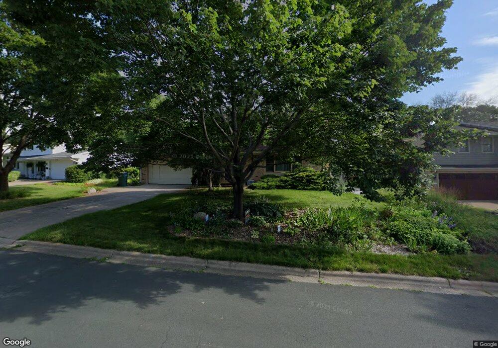
449 Woodhill Dr Saint Paul, MN 55113
South Owasso NeighborhoodEstimated Value: $468,973 - $538,000
4
Beds
2
Baths
2,176
Sq Ft
$227/Sq Ft
Est. Value
About This Home
This home is located at 449 Woodhill Dr, Saint Paul, MN 55113 and is currently estimated at $493,493, approximately $226 per square foot. 449 Woodhill Dr is a home located in Ramsey County with nearby schools including Central Park Elementary School, Roseville Area Middle School, and Roseville Area Senior High School.
Create a Home Valuation Report for This Property
The Home Valuation Report is an in-depth analysis detailing your home's value as well as a comparison with similar homes in the area
Home Values in the Area
Average Home Value in this Area
Tax History Compared to Growth
Tax History
| Year | Tax Paid | Tax Assessment Tax Assessment Total Assessment is a certain percentage of the fair market value that is determined by local assessors to be the total taxable value of land and additions on the property. | Land | Improvement |
|---|---|---|---|---|
| 2025 | $5,996 | $485,000 | $100,000 | $385,000 |
| 2023 | $5,996 | $423,800 | $90,000 | $333,800 |
| 2022 | $5,558 | $424,700 | $90,000 | $334,700 |
| 2021 | $4,982 | $370,200 | $90,000 | $280,200 |
| 2020 | $5,108 | $355,700 | $80,000 | $275,700 |
| 2019 | $5,114 | $342,600 | $80,000 | $262,600 |
| 2018 | $1,924 | $334,100 | $80,100 | $254,000 |
| 2017 | $2,518 | $141,000 | $80,100 | $60,900 |
| 2016 | $2,460 | $0 | $0 | $0 |
| 2015 | $2,758 | $178,500 | $70,800 | $107,700 |
| 2014 | $2,392 | $0 | $0 | $0 |
Source: Public Records
Map
Nearby Homes
- 2720 MacKubin St
- 437 County Road C W
- 387 Iona Ln
- 540 Woodhill Dr Unit 71
- 405 Judith Ave
- 2730 Dale St N Unit D101
- 2730 Dale St N Unit D309
- 2748 Kent St
- 556 County Road C W
- 2710 Dale St N Unit B212
- 350 County Road C W
- 2720 Dale St N Unit C208
- 2580 Western Ave N
- 2687 Galtier St
- 2814 Matilda St
- 405 Brooks Ave W
- 667 County Road C W
- 613 S Owasso Blvd W
- 2802 Marion St
- 2970 Western Ave N