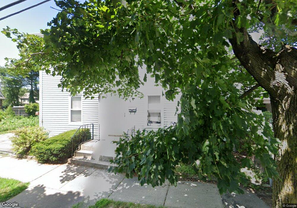
45 Auburndale Ave West Newton, MA 02465
West Newton NeighborhoodEstimated Value: $942,000 - $1,094,000
3
Beds
3
Baths
1,461
Sq Ft
$691/Sq Ft
Est. Value
About This Home
This home is located at 45 Auburndale Ave, West Newton, MA 02465 and is currently estimated at $1,009,575, approximately $691 per square foot. 45 Auburndale Ave is a home located in Middlesex County with nearby schools including C.C. Burr, F.A. Day Middle School, and Newton North High School.
Ownership History
Date
Name
Owned For
Owner Type
Purchase Details
Closed on
Jun 28, 2001
Sold by
Saycocie Dengnoi and Saycocie Visamay
Bought by
Bumble Marc D and Bumble Anna Petrov
Current Estimated Value
Home Financials for this Owner
Home Financials are based on the most recent Mortgage that was taken out on this home.
Original Mortgage
$275,000
Outstanding Balance
$105,978
Interest Rate
7.14%
Mortgage Type
Purchase Money Mortgage
Estimated Equity
$903,597
Purchase Details
Closed on
Dec 8, 2000
Sold by
Mercuri Antonio and Mercuri Petronilla
Bought by
Saycocie Dengnoi and Saycocie Visamy
Create a Home Valuation Report for This Property
The Home Valuation Report is an in-depth analysis detailing your home's value as well as a comparison with similar homes in the area
Home Values in the Area
Average Home Value in this Area
Purchase History
| Date | Buyer | Sale Price | Title Company |
|---|---|---|---|
| Bumble Marc D | $351,000 | -- | |
| Saycocie Dengnoi | $285,000 | -- |
Source: Public Records
Mortgage History
| Date | Status | Borrower | Loan Amount |
|---|---|---|---|
| Open | Saycocie Dengnoi | $145,000 | |
| Open | Saycocie Dengnoi | $275,000 |
Source: Public Records
Tax History Compared to Growth
Tax History
| Year | Tax Paid | Tax Assessment Tax Assessment Total Assessment is a certain percentage of the fair market value that is determined by local assessors to be the total taxable value of land and additions on the property. | Land | Improvement |
|---|---|---|---|---|
| 2025 | $7,887 | $804,800 | $0 | $0 |
| 2024 | $7,626 | $0 | $0 | $0 |
| 2023 | $7,269 | $714,000 | $614,300 | $99,700 |
| 2022 | $6,955 | $661,100 | $568,800 | $92,300 |
| 2021 | $6,711 | $623,700 | $536,600 | $87,100 |
| 2020 | $6,511 | $623,700 | $536,600 | $87,100 |
| 2019 | $6,327 | $605,500 | $521,000 | $84,500 |
| 2018 | $6,033 | $557,600 | $469,800 | $87,800 |
| 2017 | $5,860 | $527,000 | $443,200 | $83,800 |
| 2016 | $5,605 | $492,500 | $414,200 | $78,300 |
| 2015 | $5,344 | $460,300 | $387,100 | $73,200 |
Source: Public Records
Map
Nearby Homes
- 90 Auburndale Ave
- 14 Cottage Place Unit 14
- 106 River St Unit 18
- 106 River St Unit 2
- 106 River St Unit 14
- 44 Westland Ave
- 2 Elm St Unit 6
- 2 Elm St Unit 8
- 56 Dearborn St
- 371 Cherry St
- 265-267 River St Unit 267
- 265-267 River St Unit 265
- 287 Cherry St Unit 2
- 41 Kilburn Rd
- 10 Crescent St Unit 1
- 10 Crescent St Unit 2
- 17 Crescent St
- 160 Pine St Unit 12
- 101-103 Lexington St
- 0 Duncan Rd Unit 72925240
- 47 Auburn St
- 55 Auburndale Ave
- 9 Ryan Ct
- 37 Auburndale Ave Unit 39
- 13 Harold Terrace
- 11 Harold Terrace
- 13 Ryan Ct
- 13 Ryan Ct Unit 13
- 50 Auburndale Ave Unit 52
- 42 Auburndale Ave
- 52 Auburndale Ave
- 16 Smith Ct
- 58 Auburndale Ave
- 29 Smith Ct
- 31 Smith Ave
- 31 Auburn St
- 31 Auburn St Unit 1
- 31 Auburn St Unit 2
- 31 Auburn St Unit 2R
- 38 Auburndale Ave