45 Mount Toby Woods Sunderland, MA 01375
Estimated Value: $719,000 - $990,143
3
Beds
3
Baths
3,447
Sq Ft
$252/Sq Ft
Est. Value
About This Home
This home is located at 45 Mount Toby Woods, Sunderland, MA 01375 and is currently estimated at $867,786, approximately $251 per square foot. 45 Mount Toby Woods is a home located in Franklin County with nearby schools including Sunderland Elementary School and Frontier Regional School.
Ownership History
Date
Name
Owned For
Owner Type
Purchase Details
Closed on
Feb 28, 2002
Sold by
Erickson Neal A
Bought by
Santore Maria
Current Estimated Value
Purchase Details
Closed on
May 15, 1995
Sold by
Mt Toby Nt and Murphy Michael J
Bought by
Erickson Neal A and Erickson Donna W
Purchase Details
Closed on
Mar 26, 1991
Sold by
Wolfram William L
Bought by
Gardner Gregory M
Purchase Details
Closed on
Mar 21, 1991
Sold by
Scott Bruce
Bought by
Wolfram William L
Create a Home Valuation Report for This Property
The Home Valuation Report is an in-depth analysis detailing your home's value as well as a comparison with similar homes in the area
Home Values in the Area
Average Home Value in this Area
Purchase History
| Date | Buyer | Sale Price | Title Company |
|---|---|---|---|
| Santore Maria | $97,500 | -- | |
| Erickson Neal A | $96,000 | -- | |
| Gardner Gregory M | $5,550 | -- | |
| Wolfram William L | $18,500 | -- |
Source: Public Records
Tax History Compared to Growth
Tax History
| Year | Tax Paid | Tax Assessment Tax Assessment Total Assessment is a certain percentage of the fair market value that is determined by local assessors to be the total taxable value of land and additions on the property. | Land | Improvement |
|---|---|---|---|---|
| 2025 | $132 | $1,017,100 | $156,000 | $861,100 |
| 2024 | $13,365 | $1,017,100 | $156,000 | $861,100 |
| 2023 | $12,147 | $949,000 | $130,900 | $818,100 |
| 2022 | $12,197 | $829,700 | $112,700 | $717,000 |
| 2021 | $11,365 | $733,700 | $105,300 | $628,400 |
| 2020 | $11,296 | $731,600 | $105,300 | $626,300 |
| 2019 | $10,912 | $711,800 | $102,100 | $609,700 |
| 2018 | $10,007 | $667,100 | $98,600 | $568,500 |
| 2017 | $9,635 | $671,900 | $101,000 | $570,900 |
| 2016 | $9,733 | $663,900 | $106,300 | $557,600 |
| 2015 | $9,518 | $665,100 | $106,300 | $558,800 |
| 2014 | $9,298 | $665,100 | $106,300 | $558,800 |
Source: Public Records
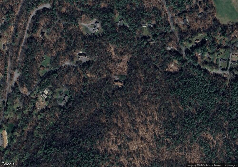
Map
Nearby Homes
- 2 Gunn Rd
- 2 Gunn Rd
- 35 A N Leverett Rd
- 39 N Leverett Rd
- 495 Federal St Unit B
- 134 Montague Rd
- 64 Main St
- 10 Hannabrooke Dr
- 0 Pocumtuck Dr Unit 73379330
- 132 Meadow Rd
- 238 N Main St
- 7 Stage Rd
- 259 Long Plain Rd
- 55 Putney Rd
- 13 Capt Lathrop Dr
- 110 Old Amherst Rd
- 0 Dudleyville Rd
- 146 Old Amherst Rd
- 208 Greenfield Rd
- 40 Eastern Ave
- 44 Mount Toby Woods
- 12 Bayberry Dr
- 43 Mount Toby Woods
- 8 Hemlock Dr
- 117 Reservation Rd
- 21 Bayberry Dr
- 41 Mount Toby Woods
- 0 Mt Toby Wood Dr Unit 30802376
- 30 Mount Toby Woods
- 96 Reservation Rd
- 110 Reservation Rd
- 116 Reservation Rd
- 7 Hemlock Dr
- 92 Reservation Rd
- 1 Mount Toby Woods
- 118 Reservation Rd
- 88 Reservation Rd
- 86 Reservation Rd
- 435 Montague Rd
- 78 Reservation Rd