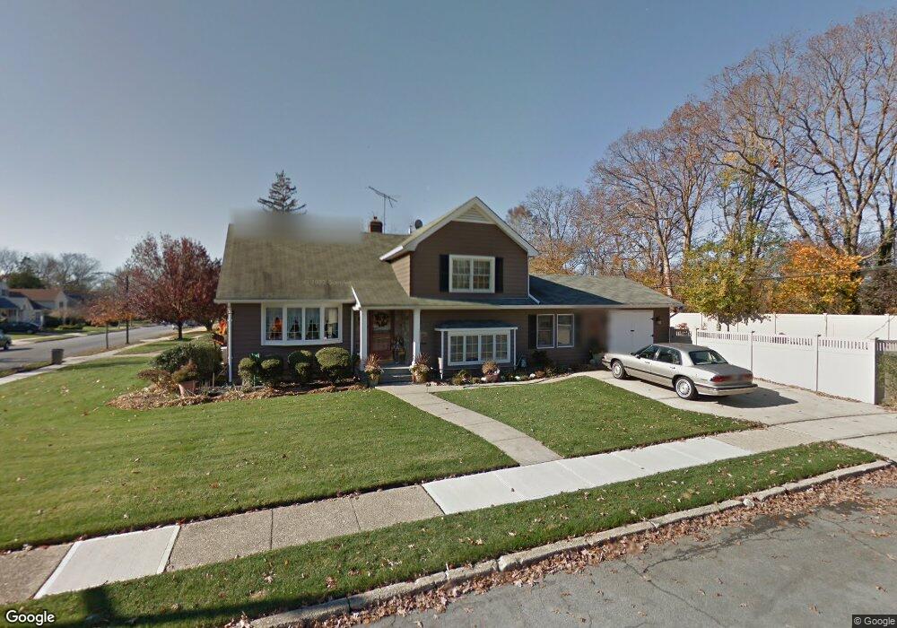
45 Poplar St Massapequa, NY 11758
Estimated Value: $850,146 - $863,000
4
Beds
2
Baths
2,089
Sq Ft
$410/Sq Ft
Est. Value
About This Home
This home is located at 45 Poplar St, Massapequa, NY 11758 and is currently estimated at $856,573, approximately $410 per square foot. 45 Poplar St is a home located in Nassau County with nearby schools including Charles E. Schwarting School, Plainedge Middle School, and Plainedge Senior High School.
Ownership History
Date
Name
Owned For
Owner Type
Purchase Details
Closed on
Apr 8, 2021
Sold by
Sweeney Michael R and Sweeney Joanne B
Bought by
Granato Robert and Escalante Jessica
Current Estimated Value
Home Financials for this Owner
Home Financials are based on the most recent Mortgage that was taken out on this home.
Original Mortgage
$522,400
Outstanding Balance
$471,664
Interest Rate
3%
Mortgage Type
New Conventional
Estimated Equity
$384,909
Purchase Details
Closed on
Sep 9, 1996
Create a Home Valuation Report for This Property
The Home Valuation Report is an in-depth analysis detailing your home's value as well as a comparison with similar homes in the area
Home Values in the Area
Average Home Value in this Area
Purchase History
| Date | Buyer | Sale Price | Title Company |
|---|---|---|---|
| Granato Robert | $653,000 | Advantage Title | |
| -- | $92,590 | -- |
Source: Public Records
Mortgage History
| Date | Status | Borrower | Loan Amount |
|---|---|---|---|
| Open | Granato Robert | $522,400 |
Source: Public Records
Tax History Compared to Growth
Tax History
| Year | Tax Paid | Tax Assessment Tax Assessment Total Assessment is a certain percentage of the fair market value that is determined by local assessors to be the total taxable value of land and additions on the property. | Land | Improvement |
|---|---|---|---|---|
| 2025 | $17,038 | $530 | $260 | $270 |
| 2024 | $5,902 | $522 | $256 | $266 |
| 2023 | $15,324 | $548 | $269 | $279 |
| 2022 | $15,324 | $548 | $269 | $279 |
| 2021 | $12,837 | $549 | $269 | $280 |
| 2020 | $12,313 | $557 | $483 | $74 |
| 2019 | $3,432 | $596 | $484 | $112 |
| 2018 | $7,192 | $636 | $0 | $0 |
| 2017 | $7,192 | $676 | $488 | $188 |
| 2016 | $10,670 | $716 | $465 | $251 |
| 2015 | $3,446 | $756 | $491 | $265 |
| 2014 | $3,446 | $756 | $491 | $265 |
| 2013 | $3,307 | $796 | $517 | $279 |
Source: Public Records
Map
Nearby Homes
- 408 Briarwood Rd
- 5 Webster Ave
- 3 Rutland Rd
- 208 Daniel Rd N
- 267 N Elm St
- 240 Wyngate Dr
- 956 N Park Ave
- 4090 Sherrey Ct
- 267 N Poplar St
- 7 Norman Place
- 344 N Hickory St
- 7 Crocus Dr
- 27 Midlawn Dr
- 250 N Poplar St
- 68 Thorne Ave
- 530 N Oak St
- 282 N Oak St
- 530 N Hawthorne St
- 558 N Hawthorne St
- 4129 Duff Place