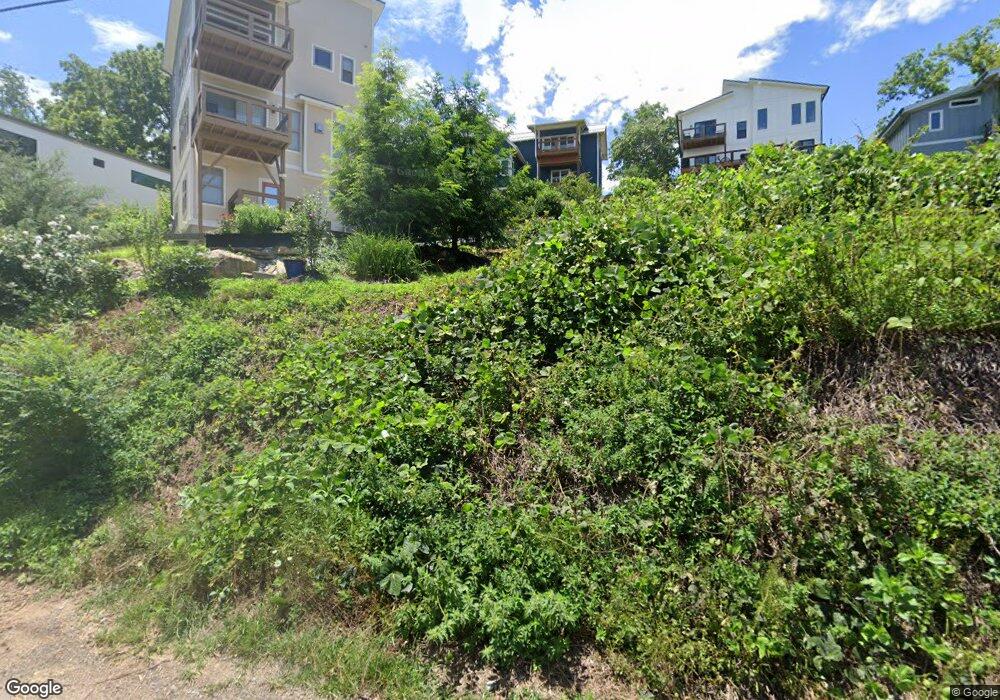
45 Tremont St Asheville, NC 28806
West Asheville NeighborhoodEstimated Value: $743,000 - $841,000
3
Beds
4
Baths
1,895
Sq Ft
$417/Sq Ft
Est. Value
About This Home
This home is located at 45 Tremont St, Asheville, NC 28806 and is currently estimated at $789,917, approximately $416 per square foot. 45 Tremont St is a home with nearby schools including Hall Fletcher Elementary, Isaac Dickson Elementary, and Ira B Jones Elementary.
Ownership History
Date
Name
Owned For
Owner Type
Purchase Details
Closed on
Dec 8, 2017
Sold by
Saraceno Carmelo A and Saraceno Maria
Bought by
Saraceno Viviana Palma
Current Estimated Value
Home Financials for this Owner
Home Financials are based on the most recent Mortgage that was taken out on this home.
Original Mortgage
$285,000
Interest Rate
3.94%
Mortgage Type
New Conventional
Purchase Details
Closed on
Nov 21, 2014
Sold by
Saraceno Viivana
Bought by
Saraceno Vivana Palma and Saraceno Carmelo A
Create a Home Valuation Report for This Property
The Home Valuation Report is an in-depth analysis detailing your home's value as well as a comparison with similar homes in the area
Home Values in the Area
Average Home Value in this Area
Purchase History
| Date | Buyer | Sale Price | Title Company |
|---|---|---|---|
| Saraceno Viviana Palma | -- | None Available | |
| Saraceno Vivana Palma | -- | None Available |
Source: Public Records
Mortgage History
| Date | Status | Borrower | Loan Amount |
|---|---|---|---|
| Closed | Saraceno Viviana Palma | $285,000 |
Source: Public Records
Tax History Compared to Growth
Tax History
| Year | Tax Paid | Tax Assessment Tax Assessment Total Assessment is a certain percentage of the fair market value that is determined by local assessors to be the total taxable value of land and additions on the property. | Land | Improvement |
|---|---|---|---|---|
| 2025 | $4,881 | $472,500 | $121,400 | $351,100 |
| 2024 | $4,881 | $472,500 | $121,400 | $351,100 |
| 2023 | $4,881 | $472,500 | $121,400 | $351,100 |
| 2022 | $4,712 | $472,500 | $121,400 | $351,100 |
| 2021 | $4,712 | $472,500 | $0 | $0 |
| 2020 | $3,865 | $358,600 | $0 | $0 |
| 2019 | $3,210 | $297,800 | $0 | $0 |
| 2018 | $3,149 | $292,100 | $0 | $0 |
| 2017 | $3,178 | $216,400 | $0 | $0 |
| 2016 | $2,660 | $216,400 | $0 | $0 |
| 2015 | $520 | $42,300 | $0 | $0 |
Source: Public Records
Map
Nearby Homes
- 140 Waynesville Ave
- 30 Waynesville Ave Unit 22
- 104 Deaver St
- 77 Tremont St
- 81 Tremont St
- 85 Tremont St
- 135 Westwood Place
- 40 Brownwood Ave
- 60 Sunrise Dr
- 253 Haywood Rd
- 20 Vandalia Ave
- 266 Waynesville Ave
- 259 Waynesville Ave Unit 1
- 202 Westwood Place
- 34 Vandalia Ave
- 45 Waynesville Ave
- 9 Reynolds Rd
- 31 Westwood Place
- 315 Haywood Rd Unit 111/211
- 43 Waynesville Ave
- 151 Waynesville Ave
- 157 Waynesville Ave
- 9999 Waynesville Ave
- 39 Tremont St
- 183 Waynesville Ave
- 149 Waynesville Ave
- TBD Tremont St Unit 3
- TBD Tremont St Unit 1
- 148 Waynesville Ave
- 29 Tremont St
- 141 Waynesville Ave
- 61 Tremont St
- 146 Waynesville Ave
- 144 Waynesville Ave
- 31 Tremont St
- 59 Tremont St
- 111 Deaver St
- 0 Waynesville Ave Unit 2428522
- 0 Waynesville Ave Unit Waynesville Ave, A
- 129 Waynesville Ave