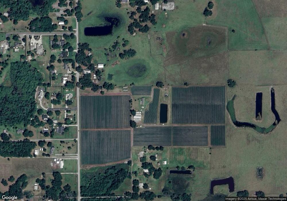
4501 Cannon Harrison Dr Plant City, FL 33565
Estimated Value: $360,000 - $865,000
4
Beds
2
Baths
2,262
Sq Ft
$251/Sq Ft
Est. Value
About This Home
This home is located at 4501 Cannon Harrison Dr, Plant City, FL 33565 and is currently estimated at $568,061, approximately $251 per square foot. 4501 Cannon Harrison Dr is a home located in Hillsborough County with nearby schools including Cork Elementary School, Tomlin Middle School, and Strawberry Crest High School.
Ownership History
Date
Name
Owned For
Owner Type
Purchase Details
Closed on
Jan 19, 2005
Sold by
Brunty Millard F and Brunty Sandra K
Bought by
Castillo Fidel and Castillo Hilda
Current Estimated Value
Home Financials for this Owner
Home Financials are based on the most recent Mortgage that was taken out on this home.
Original Mortgage
$148,750
Outstanding Balance
$74,654
Interest Rate
5.66%
Mortgage Type
Unknown
Estimated Equity
$493,407
Create a Home Valuation Report for This Property
The Home Valuation Report is an in-depth analysis detailing your home's value as well as a comparison with similar homes in the area
Home Values in the Area
Average Home Value in this Area
Purchase History
| Date | Buyer | Sale Price | Title Company |
|---|---|---|---|
| Castillo Fidel | $182,500 | Affordable Title Svcs Inc |
Source: Public Records
Mortgage History
| Date | Status | Borrower | Loan Amount |
|---|---|---|---|
| Open | Castillo Fidel | $148,750 |
Source: Public Records
Tax History Compared to Growth
Tax History
| Year | Tax Paid | Tax Assessment Tax Assessment Total Assessment is a certain percentage of the fair market value that is determined by local assessors to be the total taxable value of land and additions on the property. | Land | Improvement |
|---|---|---|---|---|
| 2024 | $4,298 | $263,884 | -- | -- |
| 2023 | $4,002 | $248,158 | $0 | $0 |
| 2022 | $3,765 | $245,920 | $0 | $0 |
| 2021 | $3,398 | $194,090 | $60,233 | $133,857 |
| 2020 | $2,990 | $156,239 | $0 | $0 |
| 2019 | $2,745 | $142,314 | $55,513 | $86,801 |
| 2018 | $2,648 | $133,481 | $0 | $0 |
| 2017 | $2,446 | $116,313 | $0 | $0 |
| 2016 | $2,486 | $116,957 | $0 | $0 |
| 2015 | $2,340 | $108,173 | $0 | $0 |
| 2014 | $2,320 | $106,406 | $0 | $0 |
| 2013 | -- | $111,889 | $0 | $0 |
Source: Public Records
Map
Nearby Homes
- 4602 Platt Rd
- 4486 Miley Rd
- 4907 Miley Rd
- 4440 Miley Rd
- 4402 McGee Rd
- 4817 Miley Rd
- 4615 Keene Rd
- 4501 Keene Rd
- 0 Blanton Acres Rd
- 2906 Noahs Ark Ln
- 4516 Keene Rd
- 5407 W Knights Griffin Rd
- 5007 Booth Rd
- 4142 El Shaddiai Square
- 4814 Knights Loop
- 4801 Sleepy Hollow Ln
- 3407 Speer Rd
- 2606 W Sam Allen Rd
- 3215 Cork Rd
- 3408 N Forbes Rd
- 4708 Cork Rd
- 4607 Cannon Harrison Dr
- 4706 Cork Rd
- 4615 Cannon Harrison Dr
- 4806 Lonesome Dove Ct
- 4815 Lonesome Dove Ct
- 4701 Cork Rd
- 4619 Cannon Harrison Dr
- 4615 Cork Rd
- 4707 Cork Rd
- 4818 Lonesome Dove Ct
- 4713 Cork Rd
- 4635 W Knights Griffin Rd
- 4821 Lonesome Dove Ct
- 4517 Cork Rd
- 4719 Cork Rd
- 4830 Indian Springs Ct
- 4822 Lonesome Dove Ct
- 4721 W Knights Griffin Rd
- 4601 Cork Rd
