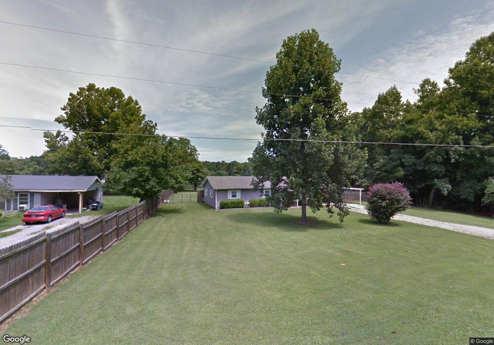
451 Cave Circle Dr Manchester, TN 37355
Estimated Value: $141,795 - $232,000
--
Bed
1
Bath
1,152
Sq Ft
$171/Sq Ft
Est. Value
About This Home
This home is located at 451 Cave Circle Dr, Manchester, TN 37355 and is currently estimated at $196,699, approximately $170 per square foot. 451 Cave Circle Dr is a home located in Coffee County with nearby schools including East Coffee Elementary School, Coffee County Middle School, and Coffee County Central High School.
Ownership History
Date
Name
Owned For
Owner Type
Purchase Details
Closed on
Jun 11, 2002
Sold by
Trail Donnie G and Trail Elizabeth
Bought by
Spears Donnie G and Spears Andrea L
Current Estimated Value
Home Financials for this Owner
Home Financials are based on the most recent Mortgage that was taken out on this home.
Original Mortgage
$53,100
Interest Rate
6.77%
Purchase Details
Closed on
Sep 20, 1999
Sold by
Patrick James
Bought by
Trail James E and Trail Elizabeth
Purchase Details
Closed on
Apr 5, 1999
Bought by
Imc Mortgage Co
Purchase Details
Closed on
Dec 29, 1995
Bought by
Patrick Family Real Estate
Purchase Details
Closed on
Mar 26, 1991
Bought by
Lowe Landon
Create a Home Valuation Report for This Property
The Home Valuation Report is an in-depth analysis detailing your home's value as well as a comparison with similar homes in the area
Home Values in the Area
Average Home Value in this Area
Purchase History
| Date | Buyer | Sale Price | Title Company |
|---|---|---|---|
| Spears Donnie G | $53,100 | -- | |
| Trail James E | $46,000 | -- | |
| Imc Mortgage Co | $43,200 | -- | |
| Patrick Family Real Estate | -- | -- | |
| Lowe Landon | $32,000 | -- |
Source: Public Records
Mortgage History
| Date | Status | Borrower | Loan Amount |
|---|---|---|---|
| Closed | Lowe Landon | $53,100 |
Source: Public Records
Tax History Compared to Growth
Tax History
| Year | Tax Paid | Tax Assessment Tax Assessment Total Assessment is a certain percentage of the fair market value that is determined by local assessors to be the total taxable value of land and additions on the property. | Land | Improvement |
|---|---|---|---|---|
| 2024 | $473 | $20,275 | $3,750 | $16,525 |
| 2023 | $473 | $20,275 | $0 | $0 |
| 2022 | $473 | $20,275 | $3,750 | $16,525 |
| 2021 | $443 | $15,100 | $2,000 | $13,100 |
| 2020 | $443 | $15,100 | $2,000 | $13,100 |
| 2019 | $443 | $15,100 | $2,000 | $13,100 |
| 2018 | $443 | $15,100 | $2,000 | $13,100 |
| 2017 | $463 | $14,175 | $2,000 | $12,175 |
| 2016 | $463 | $14,175 | $2,000 | $12,175 |
| 2015 | $463 | $14,175 | $2,000 | $12,175 |
| 2014 | $463 | $14,180 | $0 | $0 |
Source: Public Records
Map
Nearby Homes
- 0 Ramsey Rd
- 7807 McMinnville Hwy Unit 7807
- 2498 Sp Anderson Rd
- 667 Pete Sain Rd
- 300 Willow Brook Dr
- 363 Willow Brook Dr
- 0 Pete Sain Rd
- 231 Tom Johnson Rd
- 105 Barbara Spears Rd
- 2635 Pete Sain Rd
- 0 Hickerson Rd
- 0 Mcafee E Unit RTC2865293
- 0 Rock Rd
- 670 Old McMinnville Hwy
- 0 Mcafee Rd
- 837 Circle Dr
- 781 Circle Dr
- 1037 Mcafee Rd
- 0 Nanny's Rd
- 2 Fountain Grove Rd
- 431 Cave Circle Dr
- 411 Cave Circle Dr
- 406 Ramsey Rd
- 395 Cave Circle Dr
- 448 Cave Circle Dr
- 375 Cave Circle Dr
- 355 Cave Circle Dr
- 269 Cave Circle Dr
- 335 Cave Circle Dr
- 245 Cave Circle Dr
- 315 Cave Circle Dr
- 299 Cave Circle Dr
- 195 Jernigan Ln
- 242 Cave Circle Dr
- 224 Ramsey Rd
- 224 Ramsey Rd
- 223 Cave Circle Dr
- 201 Ramsey Rd
- 127 Ramsey Rd
- 218 Ramsey Rd