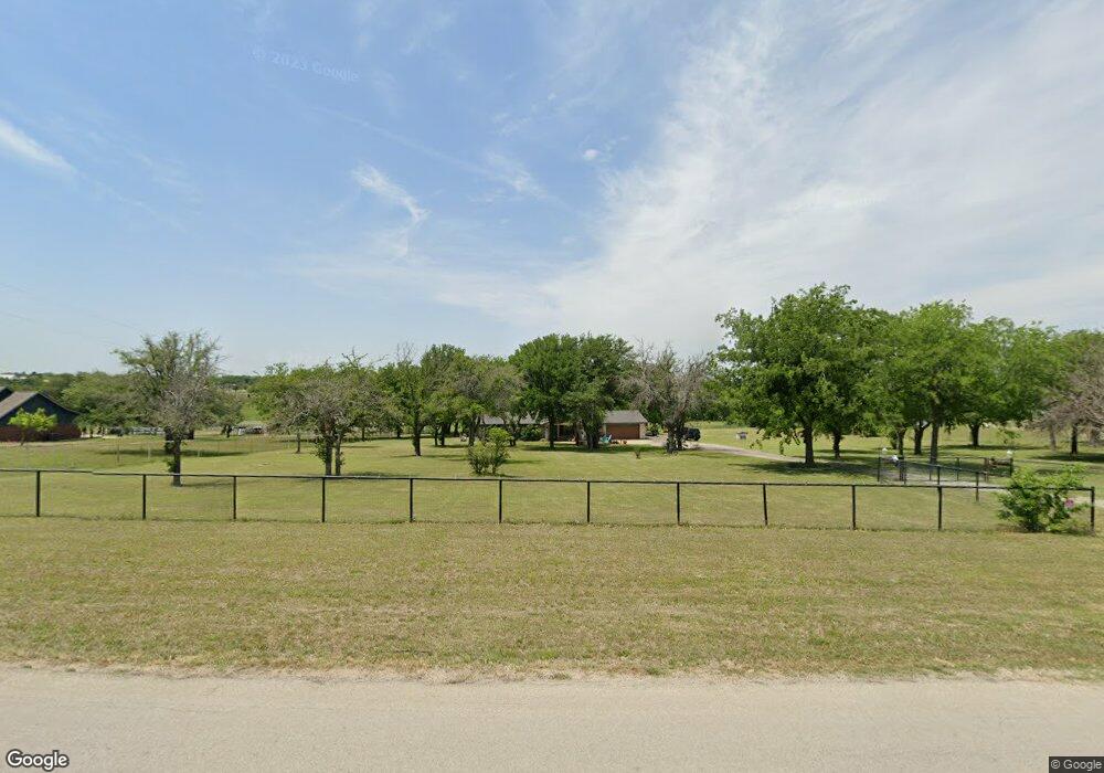
451 Finney Dr Weatherford, TX 76085
Estimated Value: $466,000
--
Bed
--
Bath
1,456
Sq Ft
$320/Sq Ft
Est. Value
About This Home
This home is located at 451 Finney Dr, Weatherford, TX 76085 and is currently estimated at $466,000, approximately $320 per square foot. 451 Finney Dr is a home located in Parker County with nearby schools including Silver Creek Elementary School, Azle Elementary School, and Azle Junior High School.
Ownership History
Date
Name
Owned For
Owner Type
Purchase Details
Closed on
Aug 18, 2013
Sold by
Tome Stephen
Bought by
Tome Trine Kristiansen
Current Estimated Value
Purchase Details
Closed on
Aug 26, 2006
Sold by
Tome Stephen
Bought by
Tome Trine K
Purchase Details
Closed on
Feb 21, 2001
Sold by
Greenhill James D and Greenhill Betty J
Bought by
Tome Trine K
Purchase Details
Closed on
Jan 1, 1901
Bought by
Tome Trine K
Create a Home Valuation Report for This Property
The Home Valuation Report is an in-depth analysis detailing your home's value as well as a comparison with similar homes in the area
Home Values in the Area
Average Home Value in this Area
Purchase History
| Date | Buyer | Sale Price | Title Company |
|---|---|---|---|
| Tome Trine Kristiansen | -- | None Available | |
| Tome Trine K | -- | -- | |
| Tome Trine K | -- | -- | |
| Tome Trine K | -- | -- |
Source: Public Records
Mortgage History
| Date | Status | Borrower | Loan Amount |
|---|---|---|---|
| Closed | Tome Trine Kristiansen | $0 |
Source: Public Records
Tax History Compared to Growth
Tax History
| Year | Tax Paid | Tax Assessment Tax Assessment Total Assessment is a certain percentage of the fair market value that is determined by local assessors to be the total taxable value of land and additions on the property. | Land | Improvement |
|---|---|---|---|---|
| 2025 | $1,426 | $264,022 | -- | -- |
| 2024 | $1,426 | $240,020 | -- | -- |
| 2023 | $1,426 | $218,200 | $0 | $0 |
| 2022 | $3,671 | $202,620 | $23,400 | $179,220 |
| 2021 | $3,496 | $202,620 | $23,400 | $179,220 |
| 2020 | $3,161 | $163,940 | $21,700 | $142,240 |
| 2019 | $3,351 | $163,940 | $21,700 | $142,240 |
| 2018 | $3,732 | $182,010 | $70,030 | $111,980 |
| 2017 | $3,481 | $182,010 | $70,030 | $111,980 |
| 2016 | $3,165 | $162,000 | $50,020 | $111,980 |
| 2015 | $1,166 | $162,000 | $50,020 | $111,980 |
| 2014 | $3,184 | $172,880 | $50,020 | $122,860 |
Source: Public Records
Map
Nearby Homes
- 100 Oak Meadow Ln
- 629 Bent Tree Ln
- 105 Ash Ln
- 341 Oak Meadow Ln
- The Wilder Plan at Brooks Meadow
- The Ryder Plan at Brooks Meadow
- The Curran Plan at Brooks Meadow
- The Bennett Plan at Brooks Meadow
- The Jackson Plan at Brooks Meadow
- The Hunter Plan at Brooks Meadow
- The Aylin Plan at Brooks Meadow
- The Wellington II Plan at Brooks Meadow
- 683 Bent Tree Ln
- The Greyson II Plan at Brooks Meadow
- 687 Bent Tree Ln
- 313 Oak Meadow Ln
- The Greyson II Plan at Vintage Oaks
- The Wellington II Plan at Vintage Oaks
- The Hunter Plan at Vintage Oaks
- The Aylin Plan at Vintage Oaks